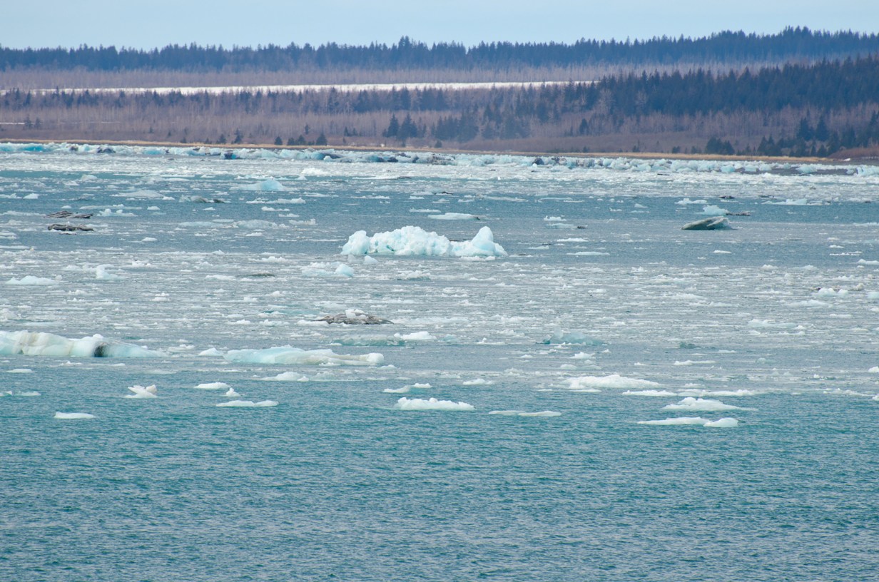
Navigating the ice field
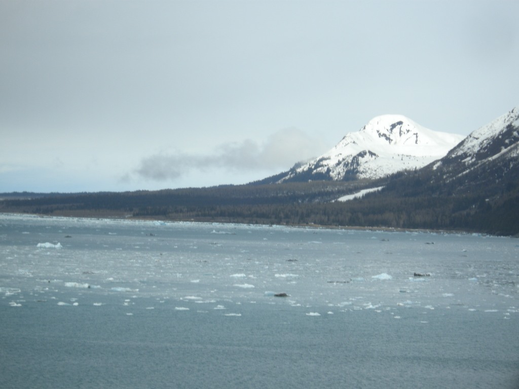
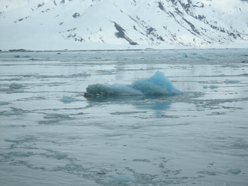
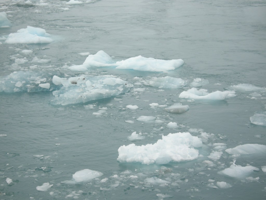
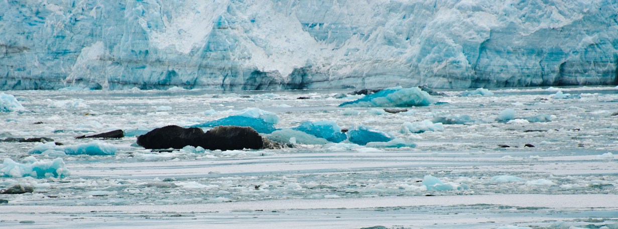
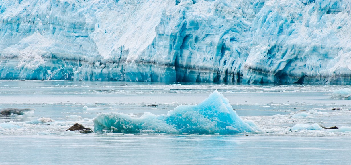
Chunks of glacial ice
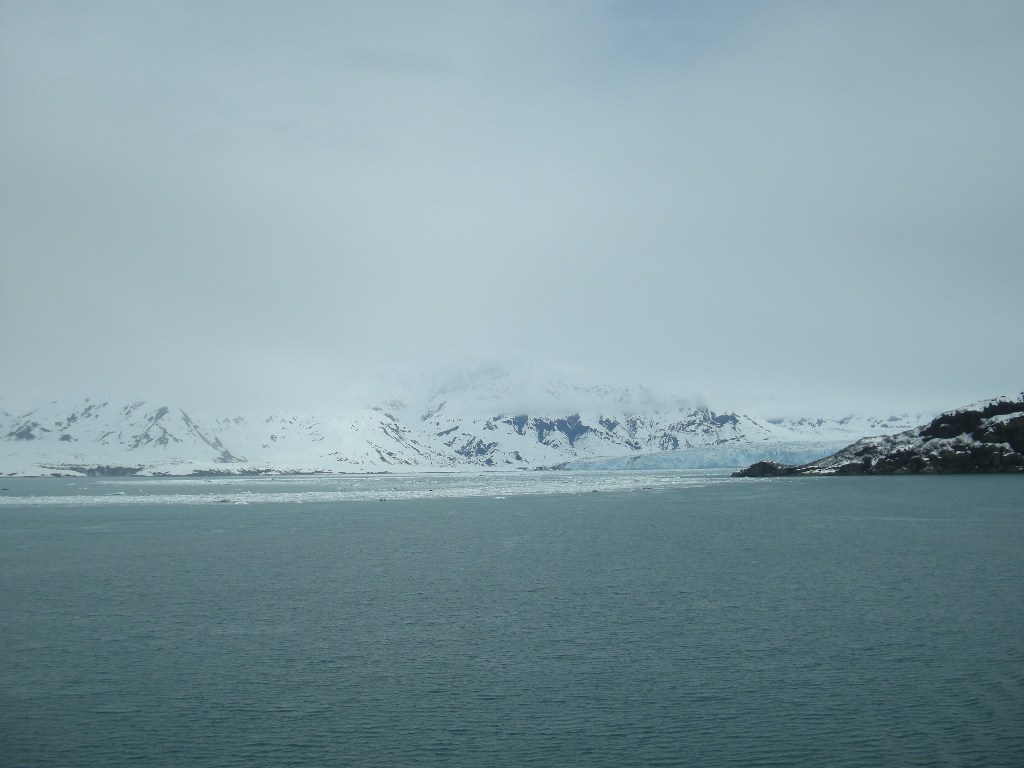
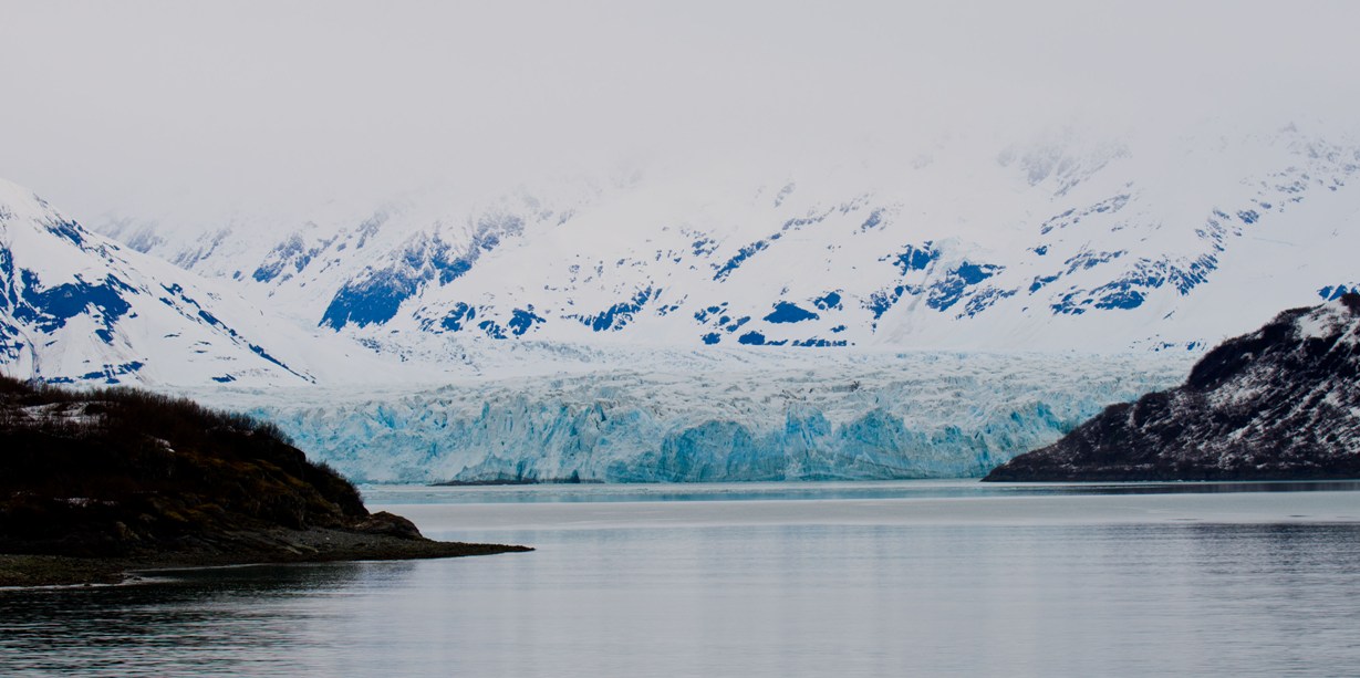
Hubbard at head of Yakutat Bay
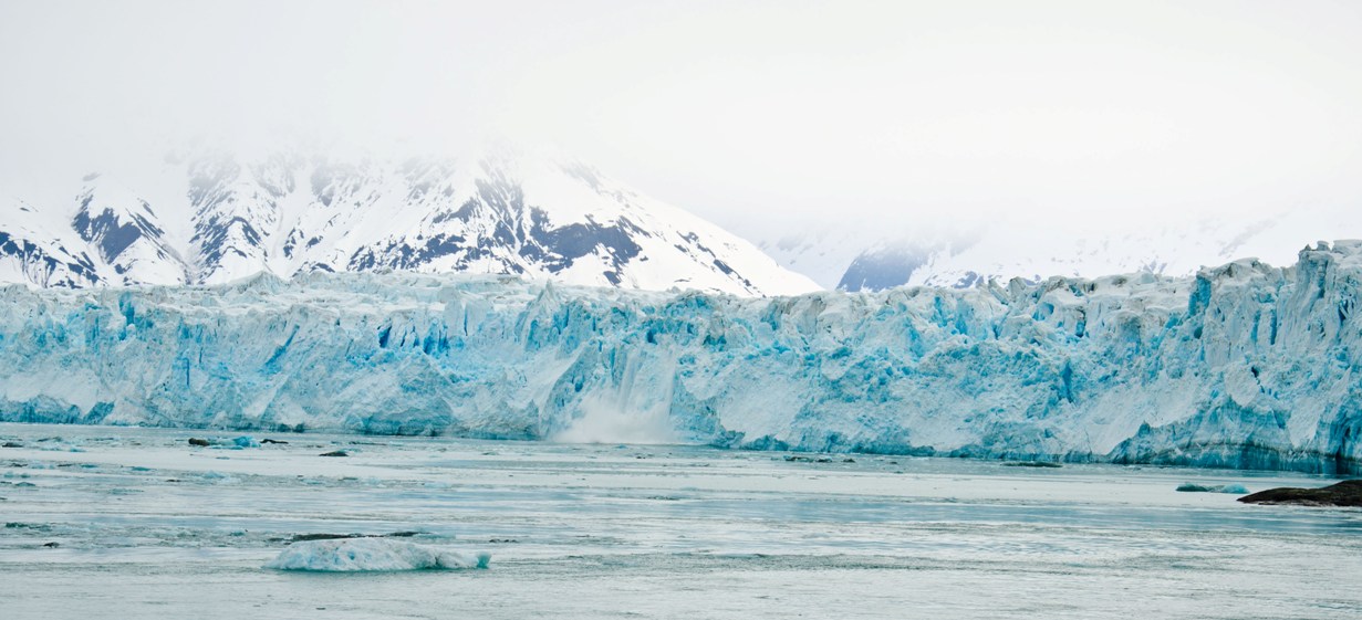
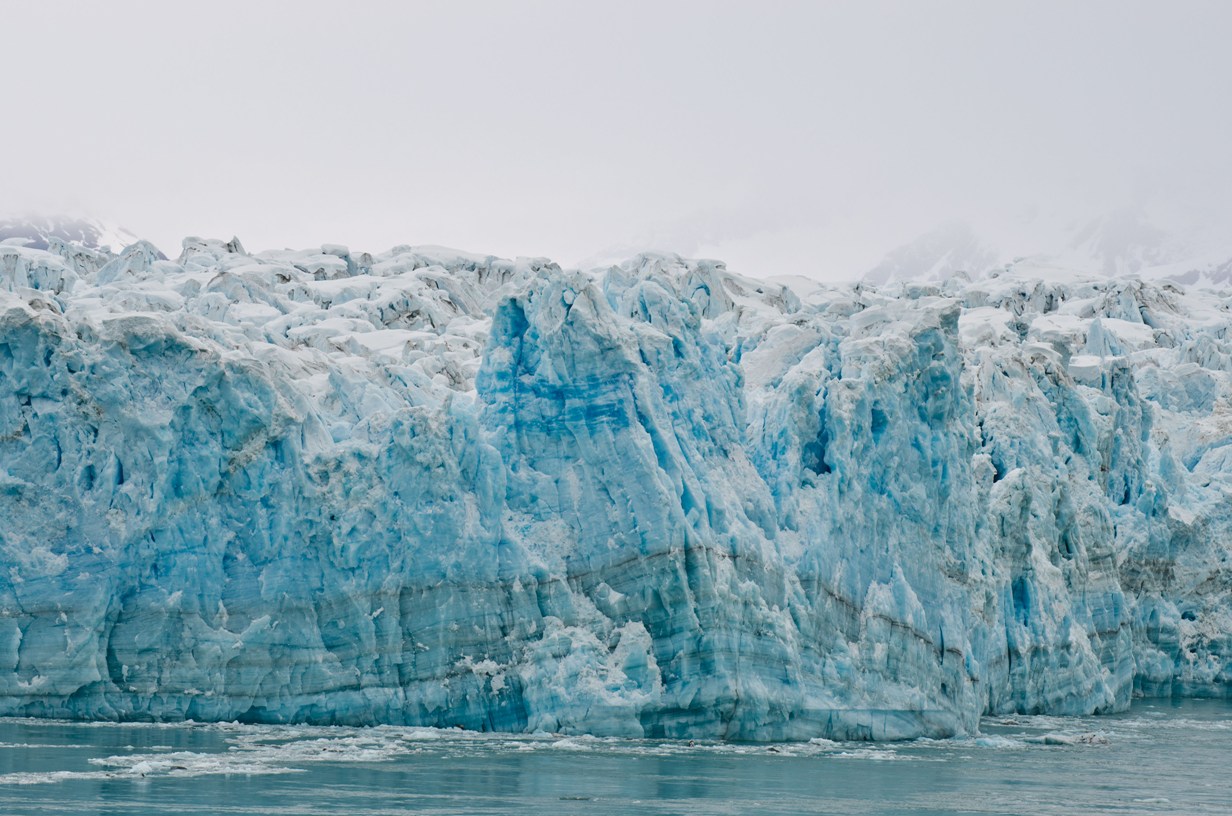
The main wall
Hubbard Glacier
Location: Source: 61° 00' N, 140° 09' W Terminus: 60° 0' N, 139° 30' W Length/Width: 76 mi long, 6 mi wide Area: 1350 sq. miles Avg Temp: 25°F (18.6°F - 31.5°F) Rainfall: None (0 in) Other Info:Hubbard Glacier is about the size of Switzerland and lies in the Eastern portion of Alaska and West edge of Canada. Its source (head) is deep inland about 5 miles from Mt. Walsh, which also straddles the Canadian border.
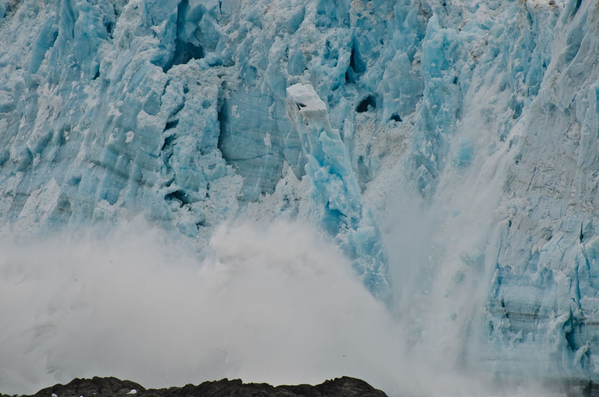
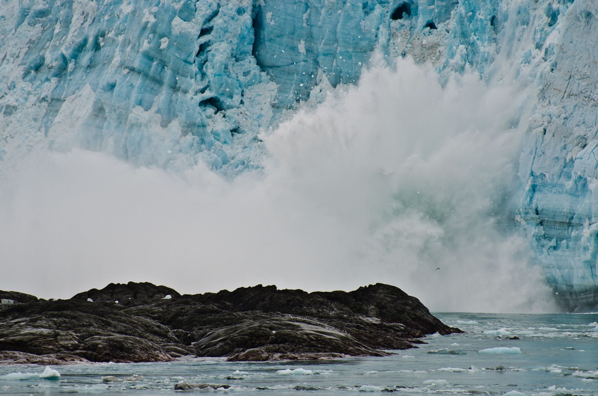
The glacier's terminus or "foot" has its edge at the end of Yakutat Bay and is adjacent to the entrance to Russell Fjord. The 6 mile long leading wall is as high as 300 feet in places. Located about 287 nautical miles North of Juneau, Hubbard Glacier is pretty much in the middle of nowhere. Not only is Hubbard the largest tidewater glacier in North America, it's one of the few glaciers in the world that is not receding. It began advancing again about 100 years ago and Geologists estimate that it's taken 400 years for the ice to traverse the 7g miles from the head to the foot of the glacier. The foot of the glacier is almost constantly "calving" -- breaking off large chunks of ice and providing fabulous photo opportunities. When the ice cracks it sounds like a gunshot. This is immediately followed by a thunderous roar as the ice slides down the wall and crashes into the frigid waters of Yakutat Bay.
Ice and striation detail
Iceberg Calving
Kersplash!!
Broken pieces swimming
© Copyright 2008 Write Sounds Entertainment, Inc. All Rights Reserved.
