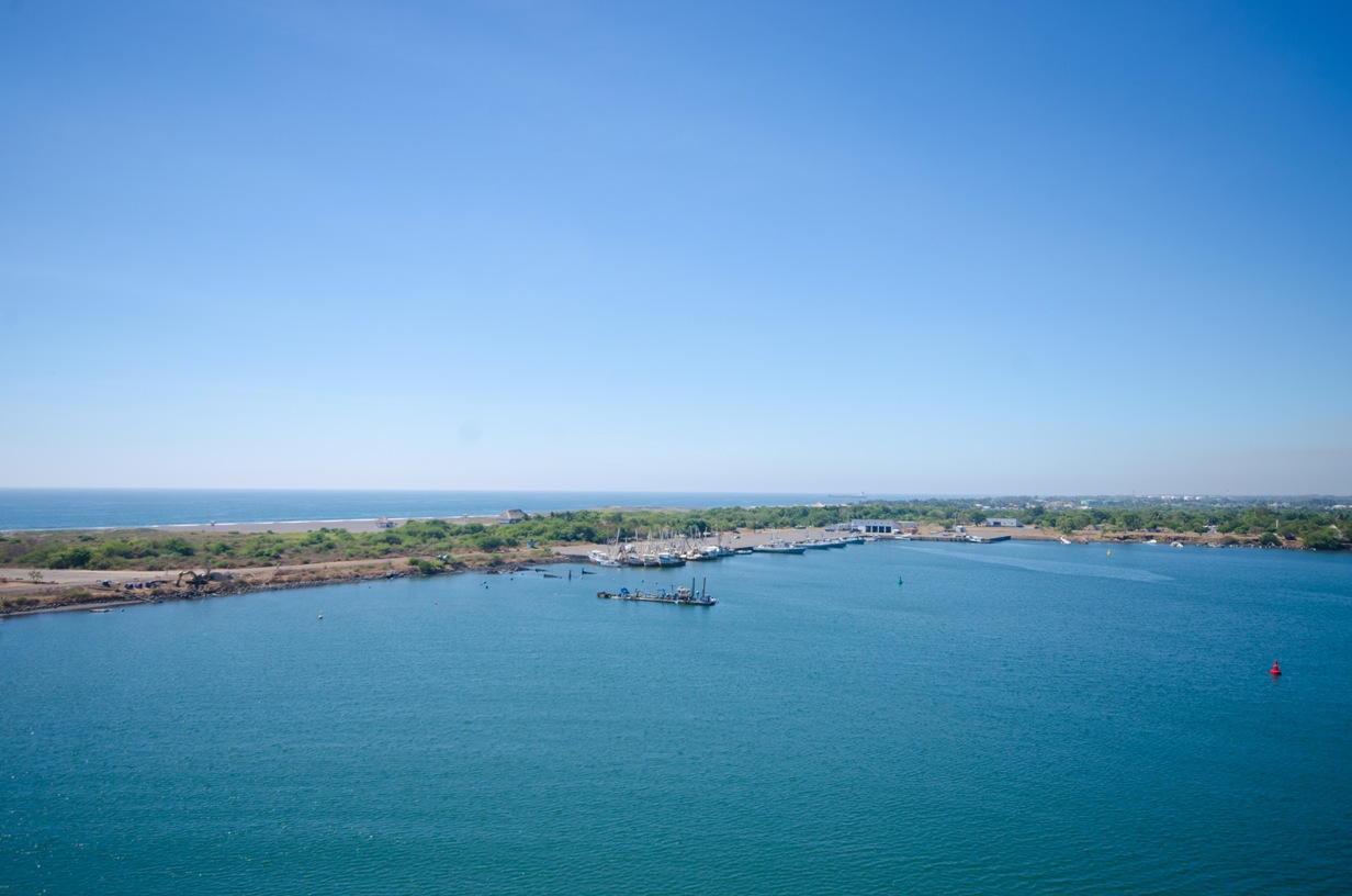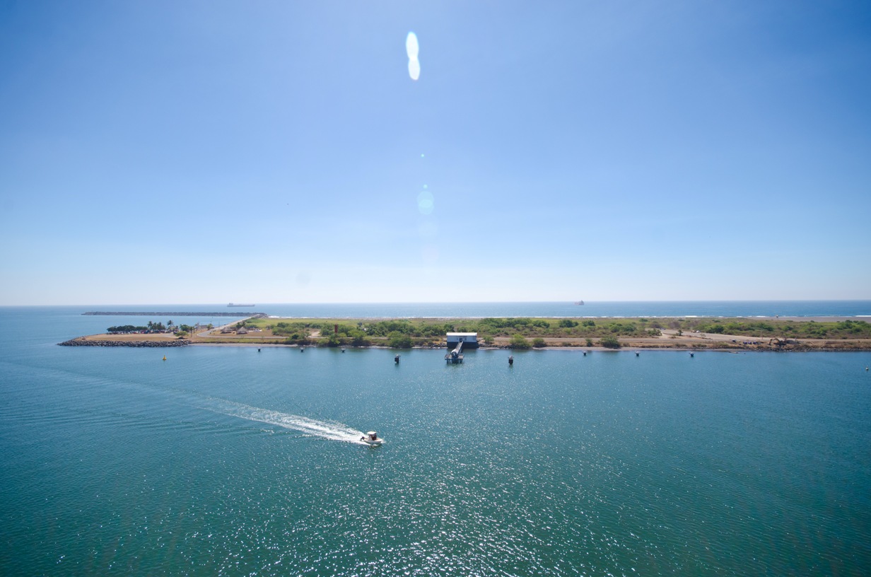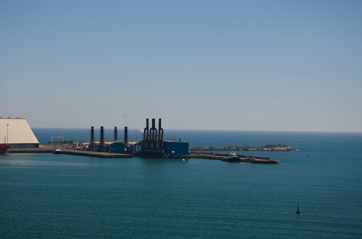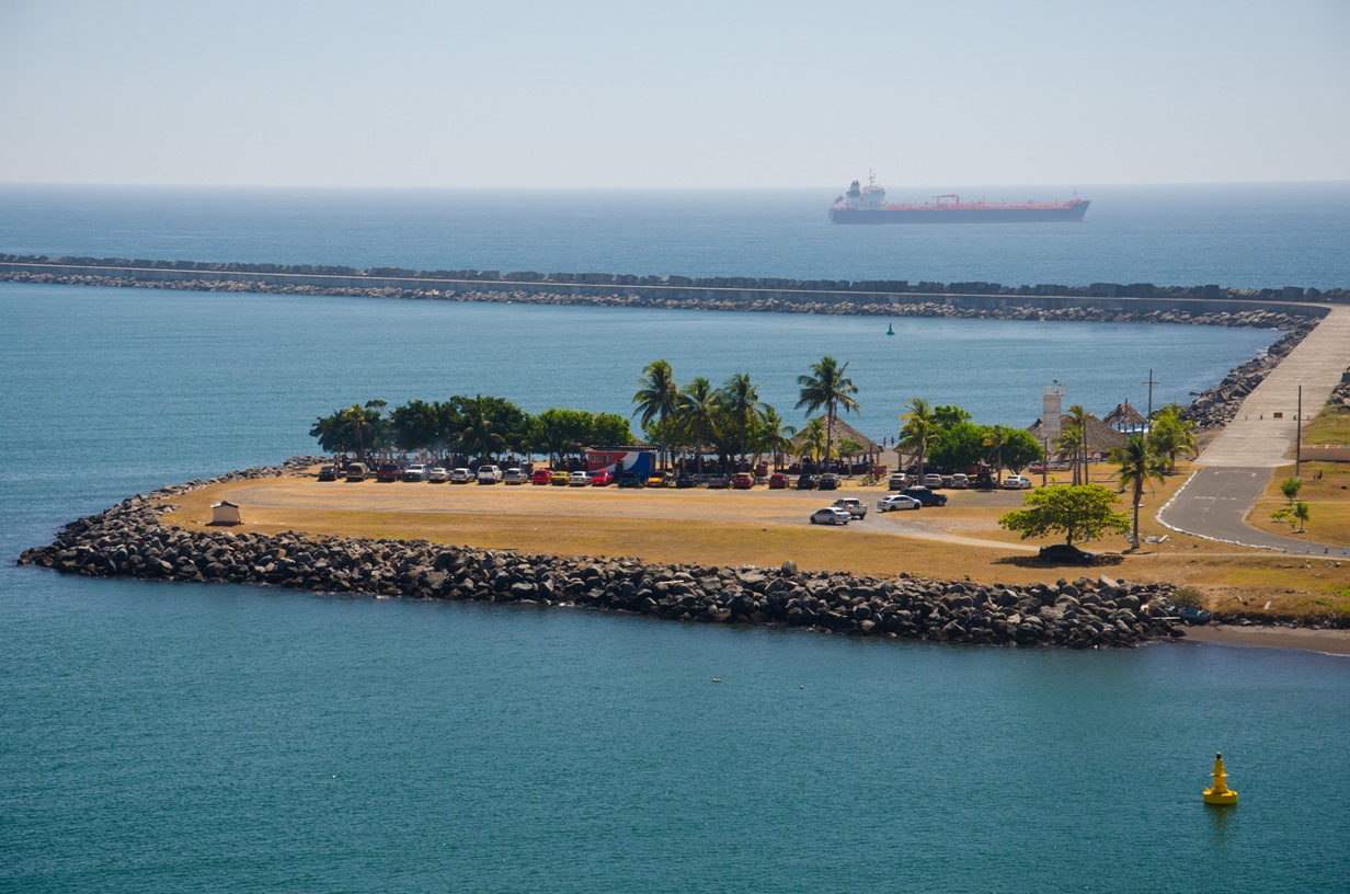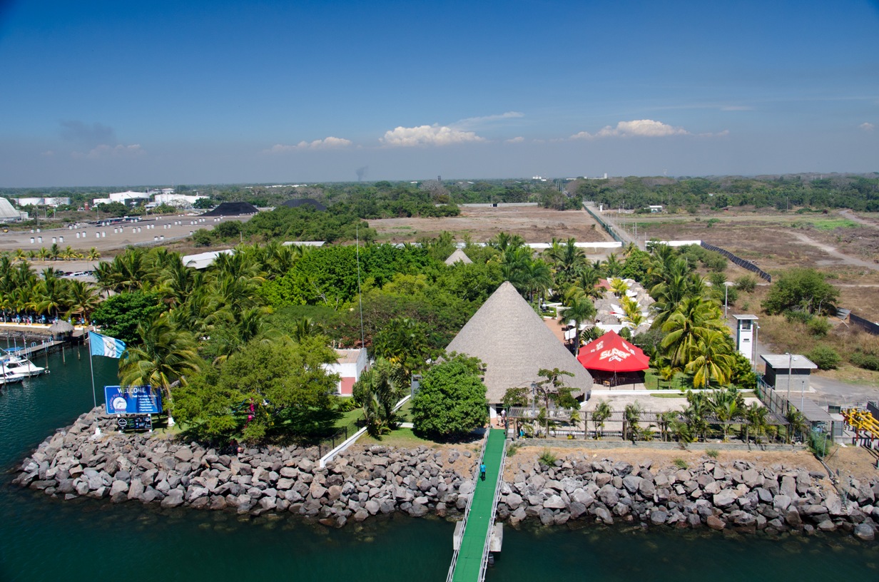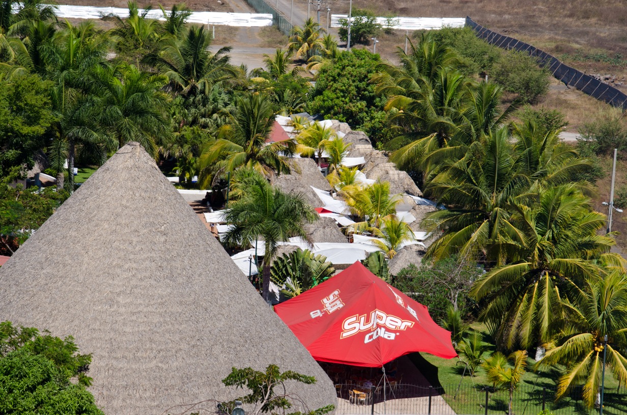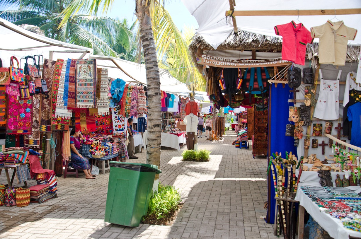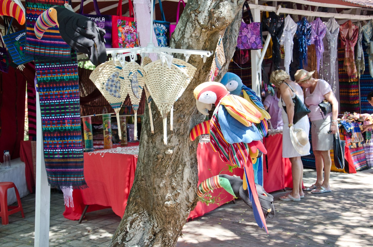
Puerto Quetzal
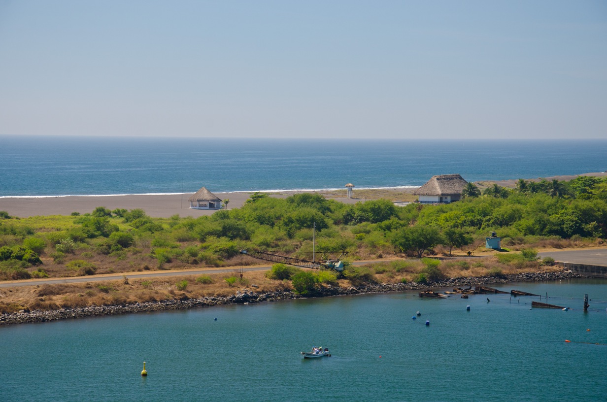
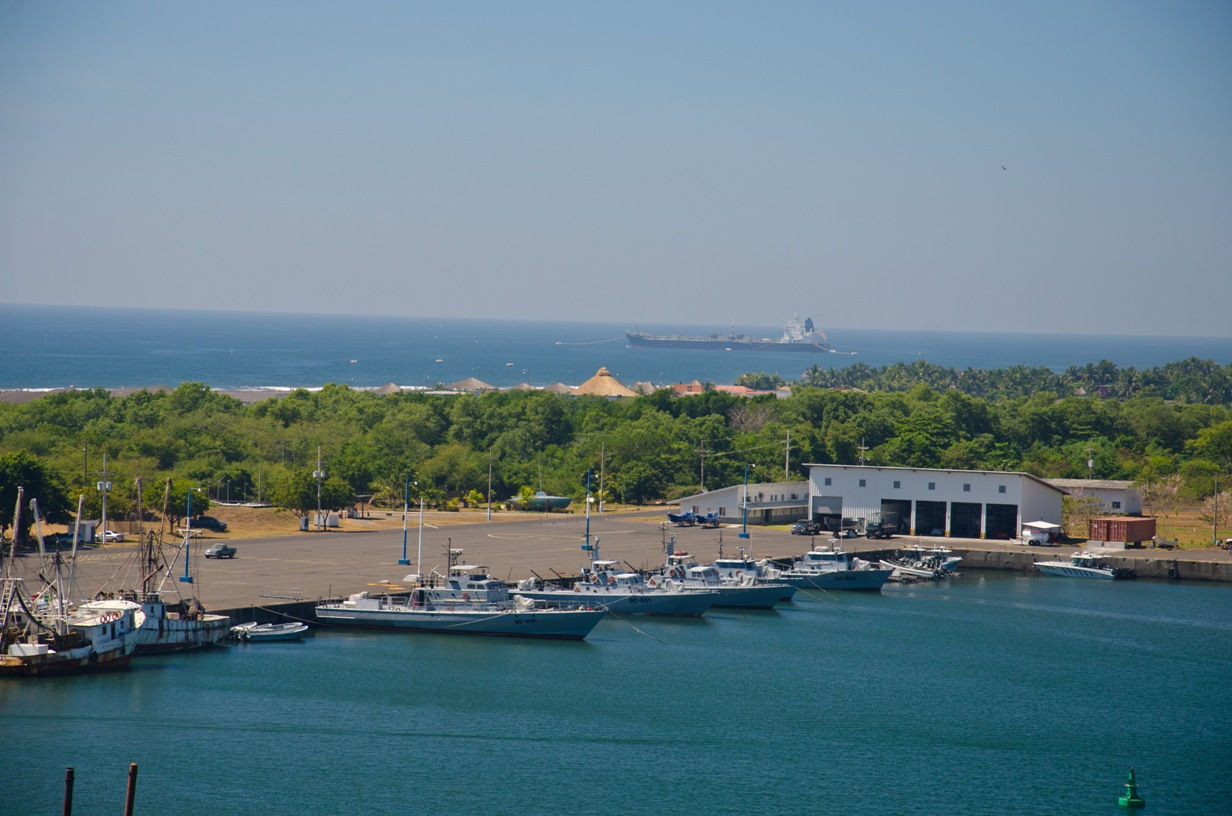
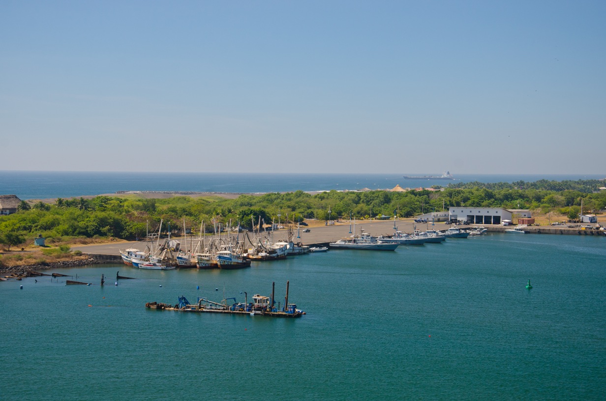
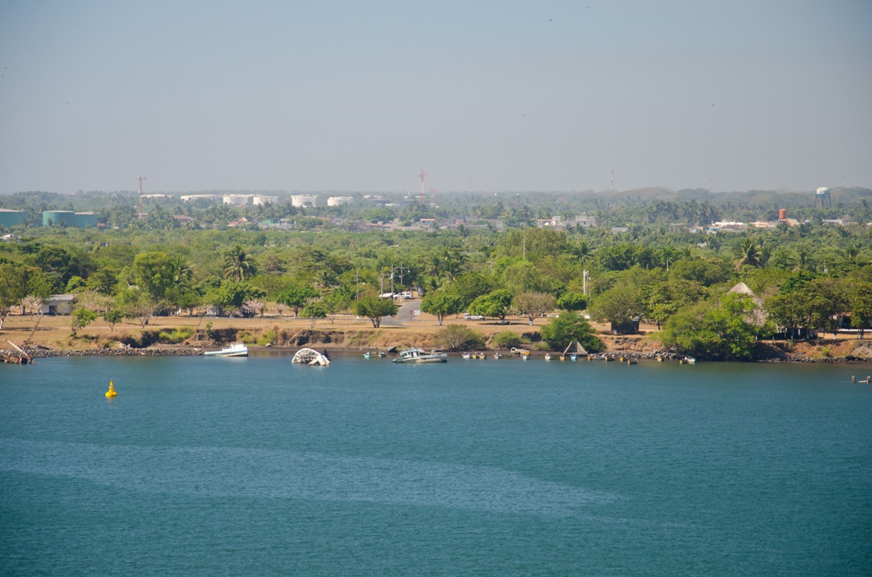
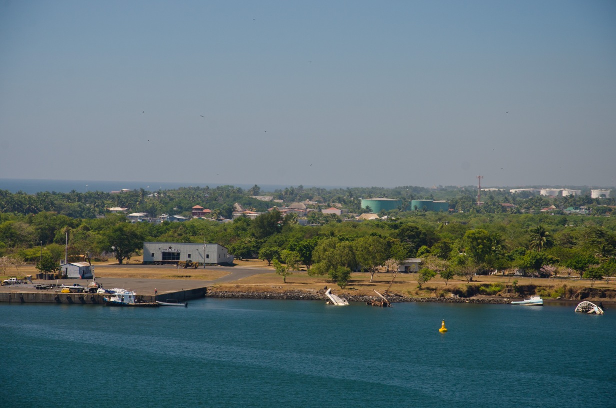
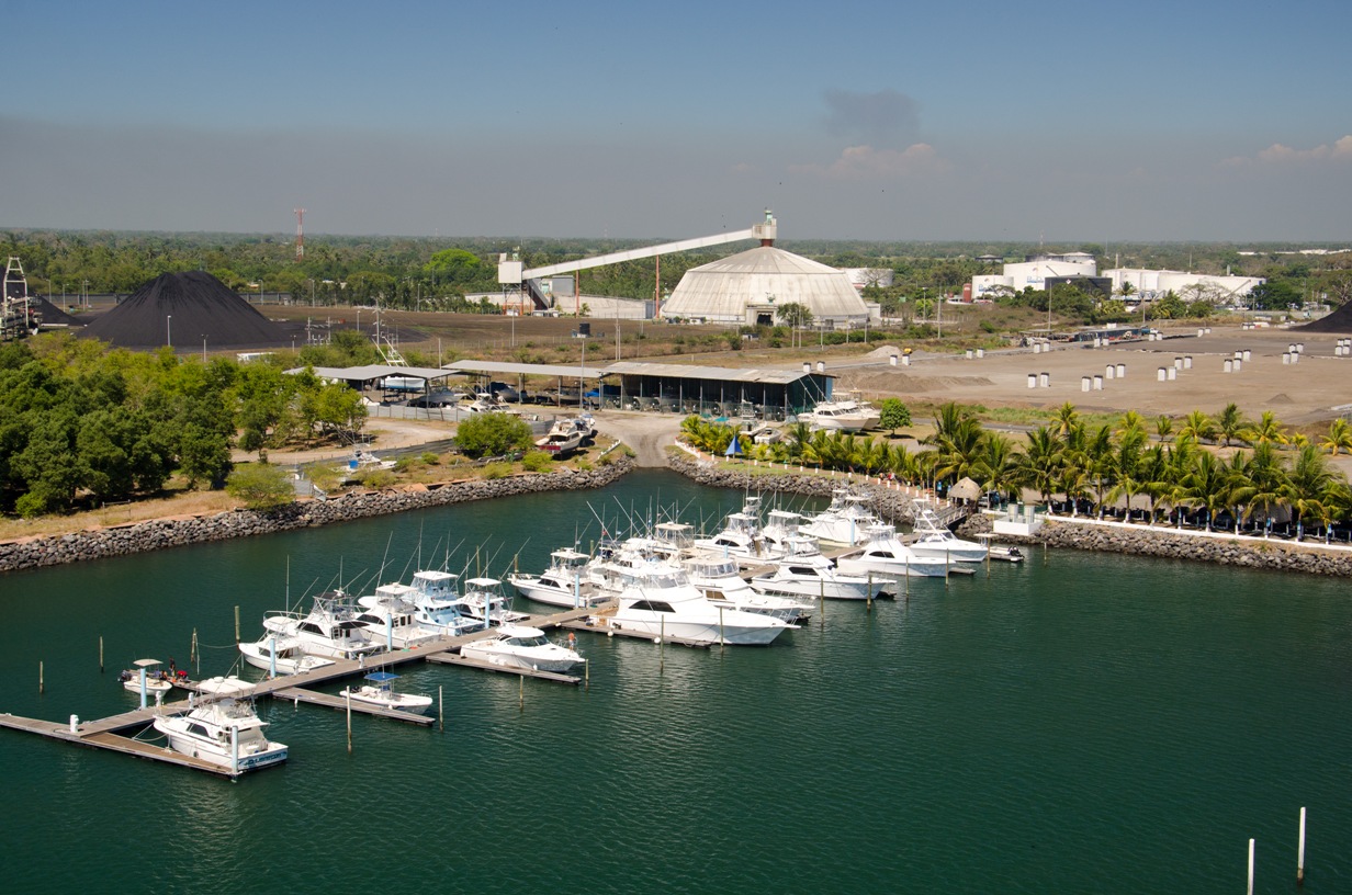
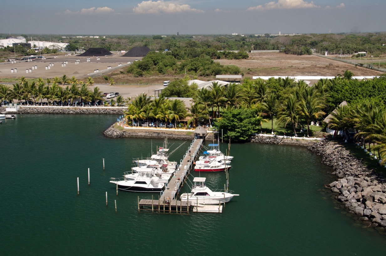
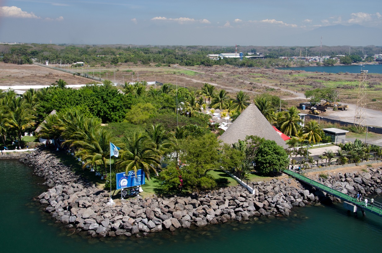
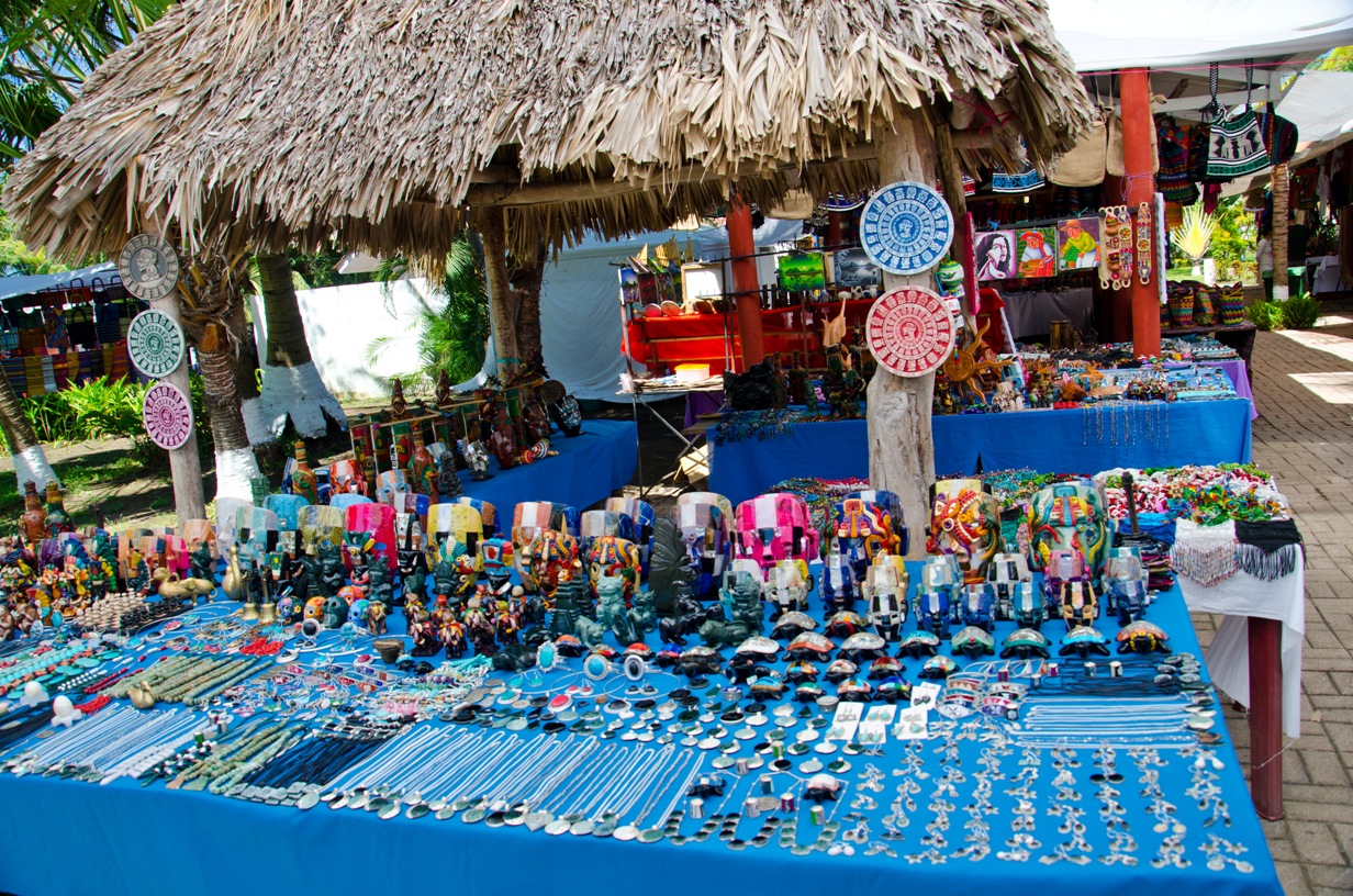
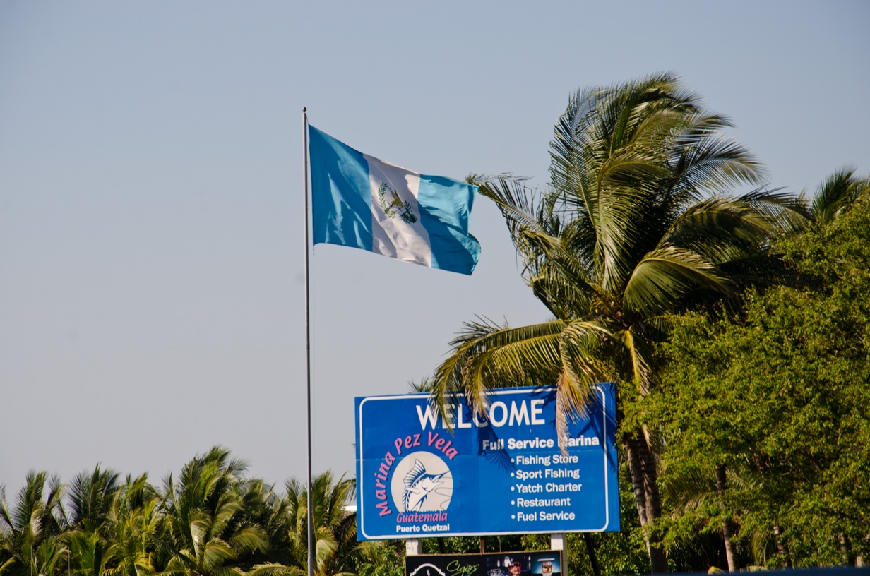
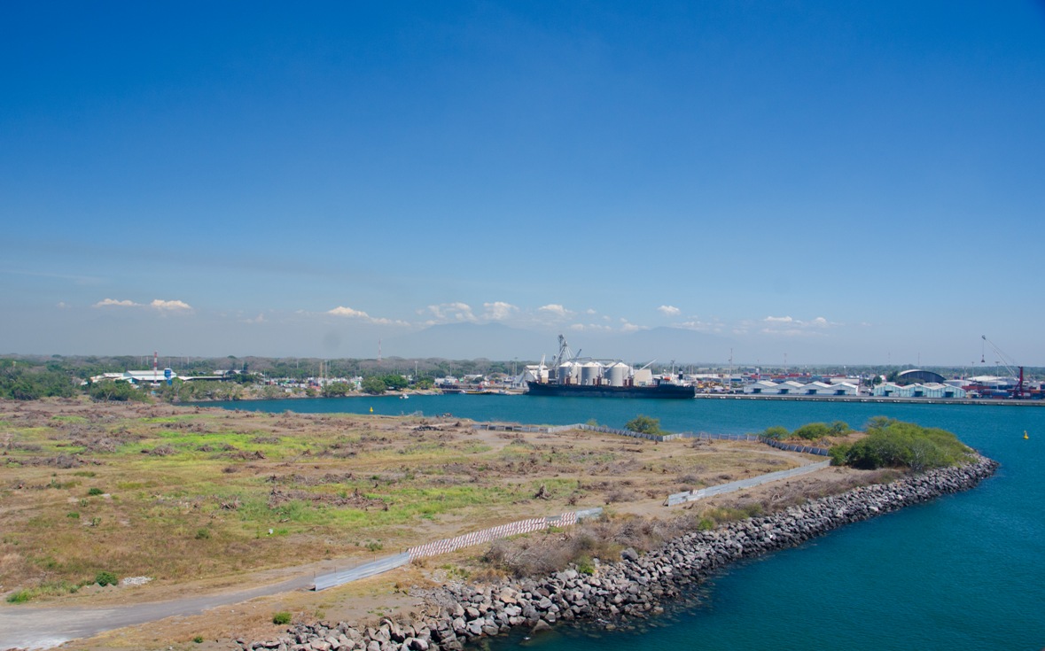
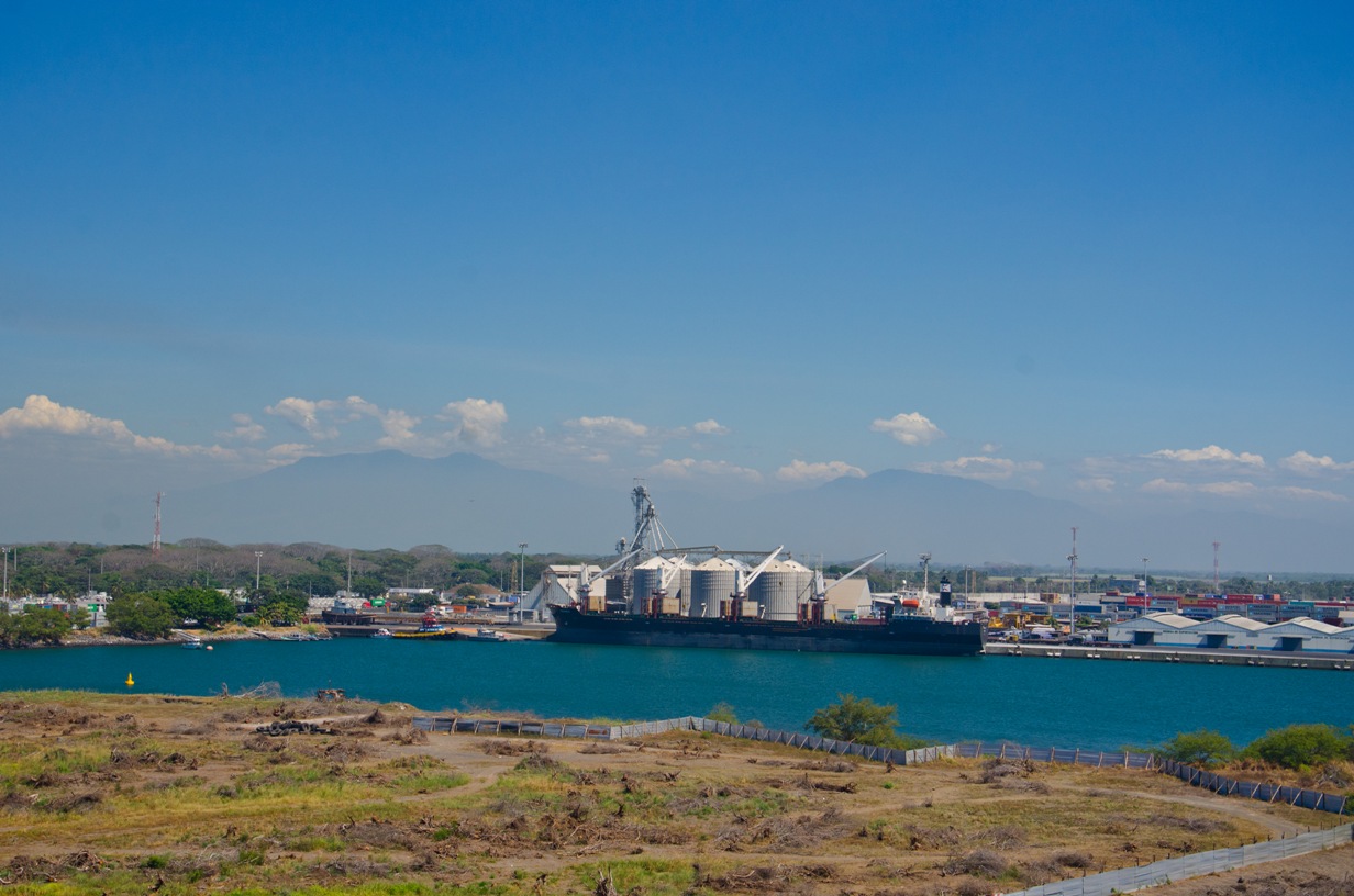
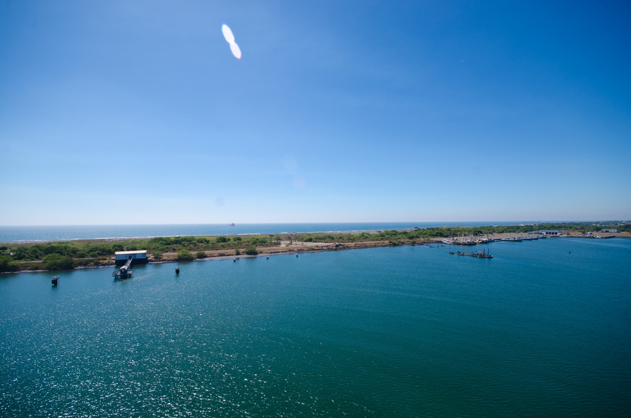
Location: 15° 30' N, 90° 15' W Population: 20,000 Area: 73 sq. km (28 sq. mi.) Avg Temp: 73°F - 90°F Climate: sub-tropical desert Humidity: 69% Rainfall: 6.0 inches Language: Spanish, Amerindian Time Zone: Central Standard (CST) Money: Quetzal (GTQ), US Dollar (USD) Commerce: Coffee sugar petroleum, apparel, tourism Interesting Facts:Guatemala is the largest and most populous country in Central America, and Puerto Quetzal is the largest city on the the Pacific side of Guatemala.
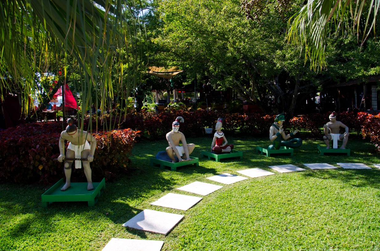
Guatemala is located in the northern-most part of Central America. It has 37 volcanoes, a rich Mayan heritage, Lake Atitlan, and one of the best-preserved colonial cities in Antigua.
Once the center of the impressive ancient Mayan civilization, Guatemala was conquered by Spanish conquistador Pedro de Alvarado in 1524. During the second half of the 20th century, it experienced a variety of military and civilian governments, as well as a 36-year guerrilla war.
These issues have now faded into the past and today Guatemala is a thriving democracy with many varying landscapes, activities and historical venues. One can enjoy an African=style safari in the hot and tropical Pacific Coast or explore the cool Mayan highlands where Lake Atitlan and the colonial city of Antigua are located.
© Copyright 2008 Write Sounds Entertainment, Inc. All Rights Reserved.
