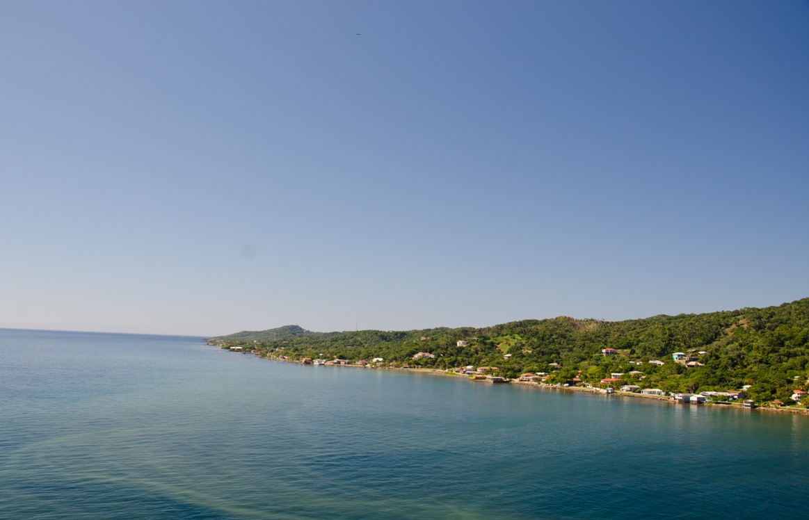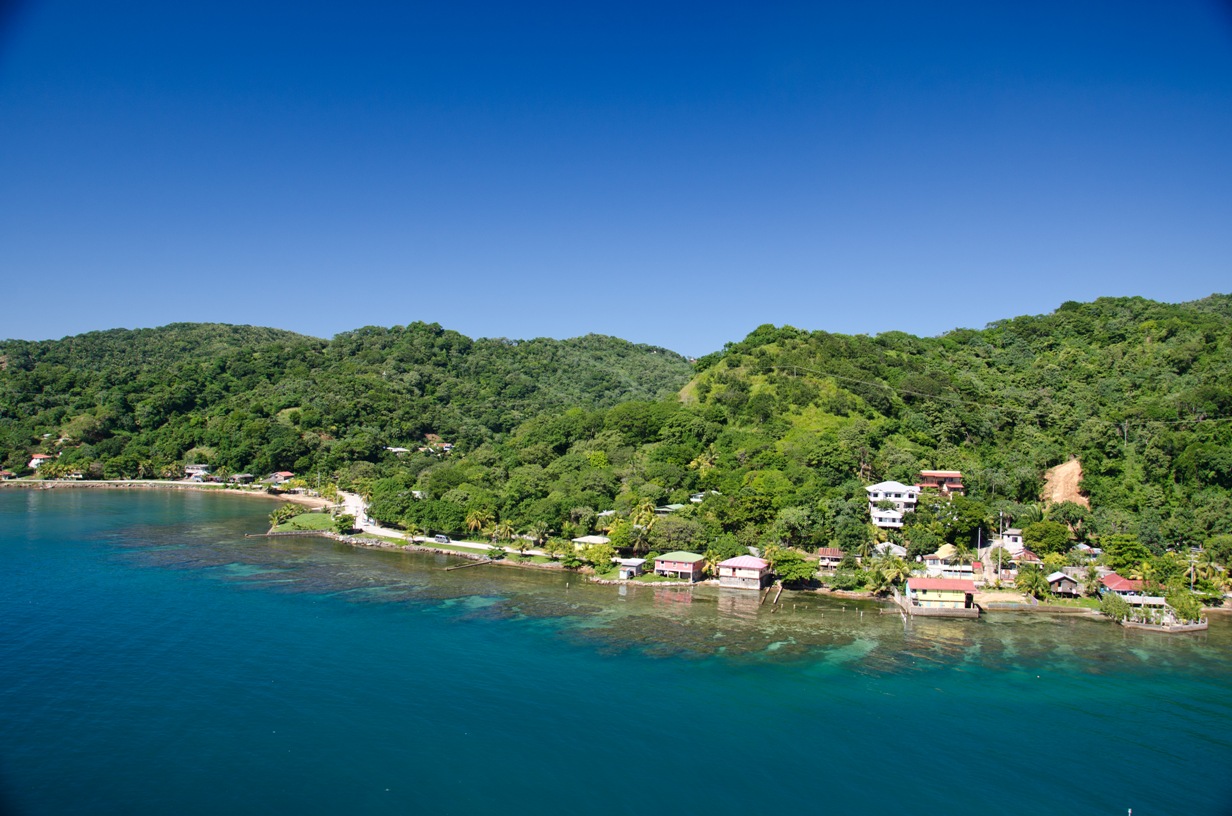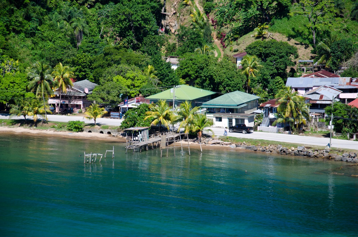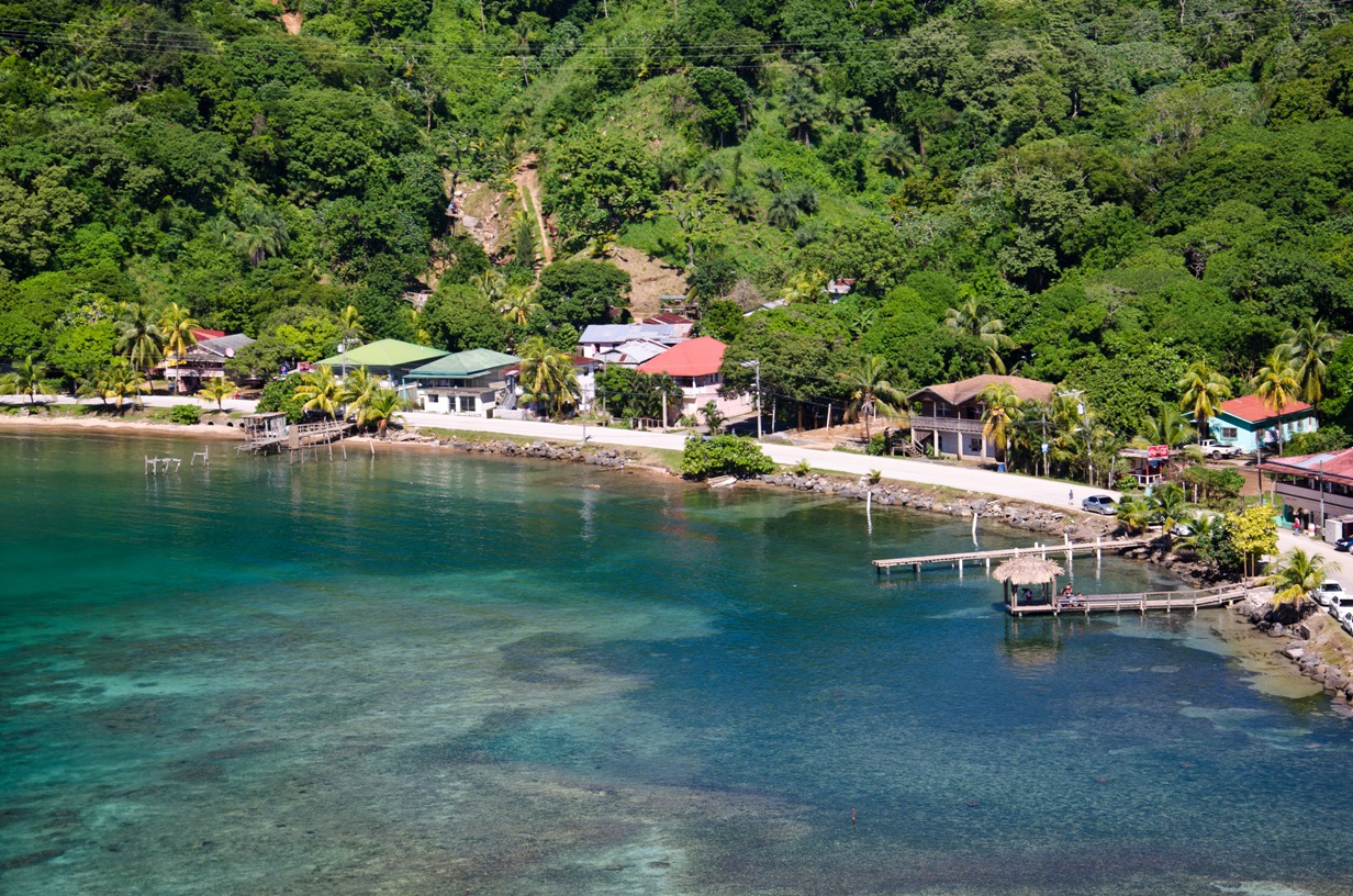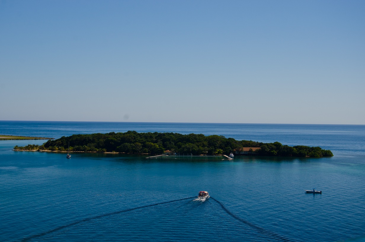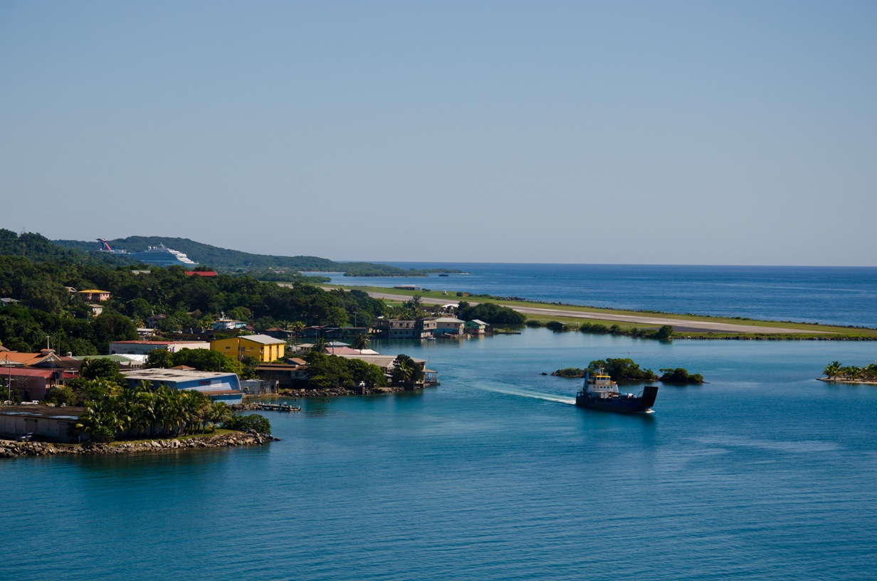
Roatan
Location: 16° 38' N, 86° 40' W Archipelago: Bay Islands Population: 60,000 Length/Width: 32 mi long, 3 mi wide Area: 127 km2 (49 sq. mi.) Capital: Coxen Hole (pop. 10,500) Avg Temp: 77°F-89°F (25-32°C) Climate: Tropical Humidity: 75%% Rainfall: 98.9 inches Language: Spanish, English Time Zone: Central (CST) UTC-6 Money: Lempira (HNL), US Dollar Commerce: Tourism, fishing Interesting FactsRoatan is the largest and most developed of Honduras' three Bay Islands. The average daily temperature remains fairly consistent throughout the year, and the humidity averages around 75%. Since Roatan lies outside of Caribbean hurricane alley, it only gets hit once every 26 years.
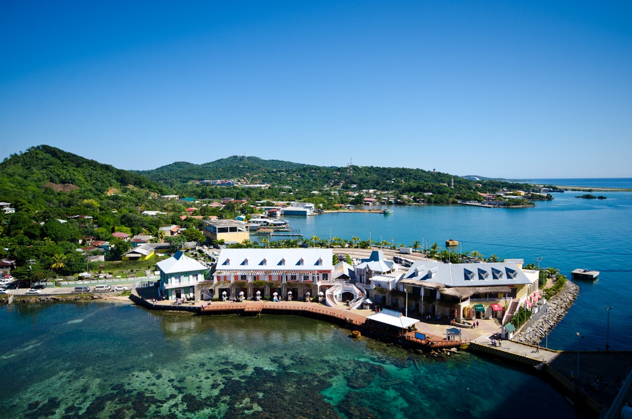
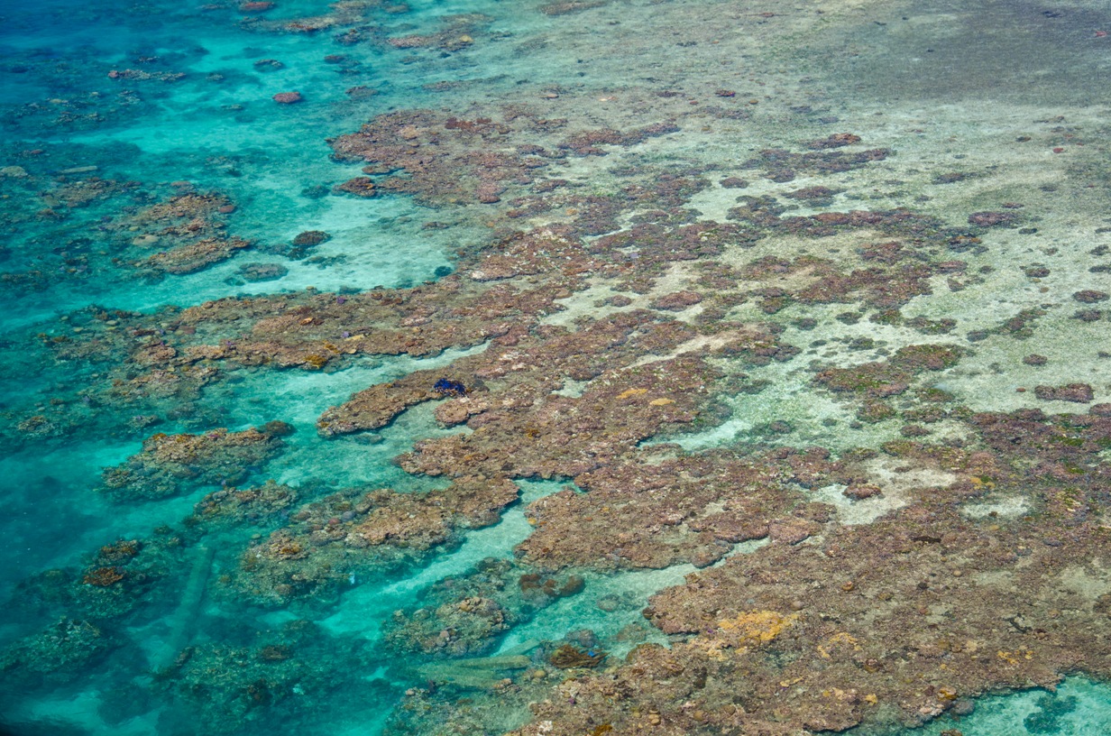
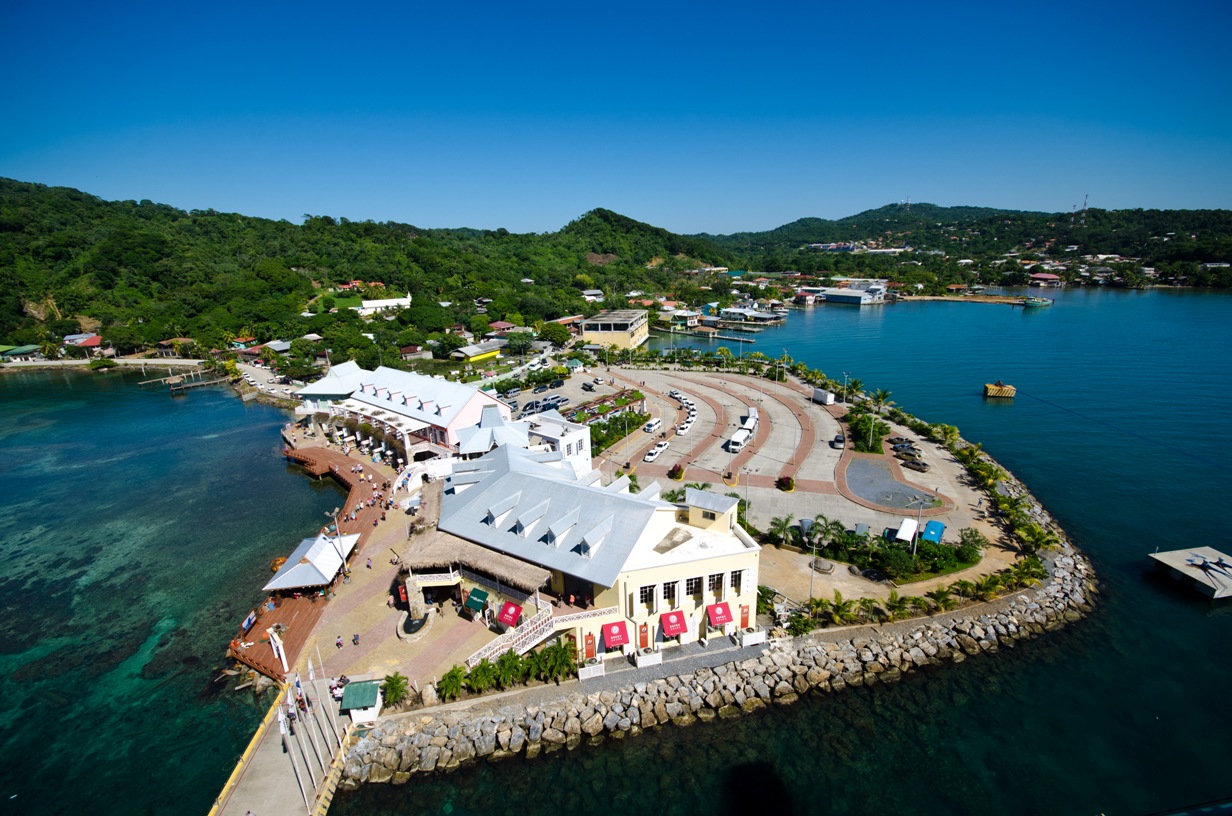
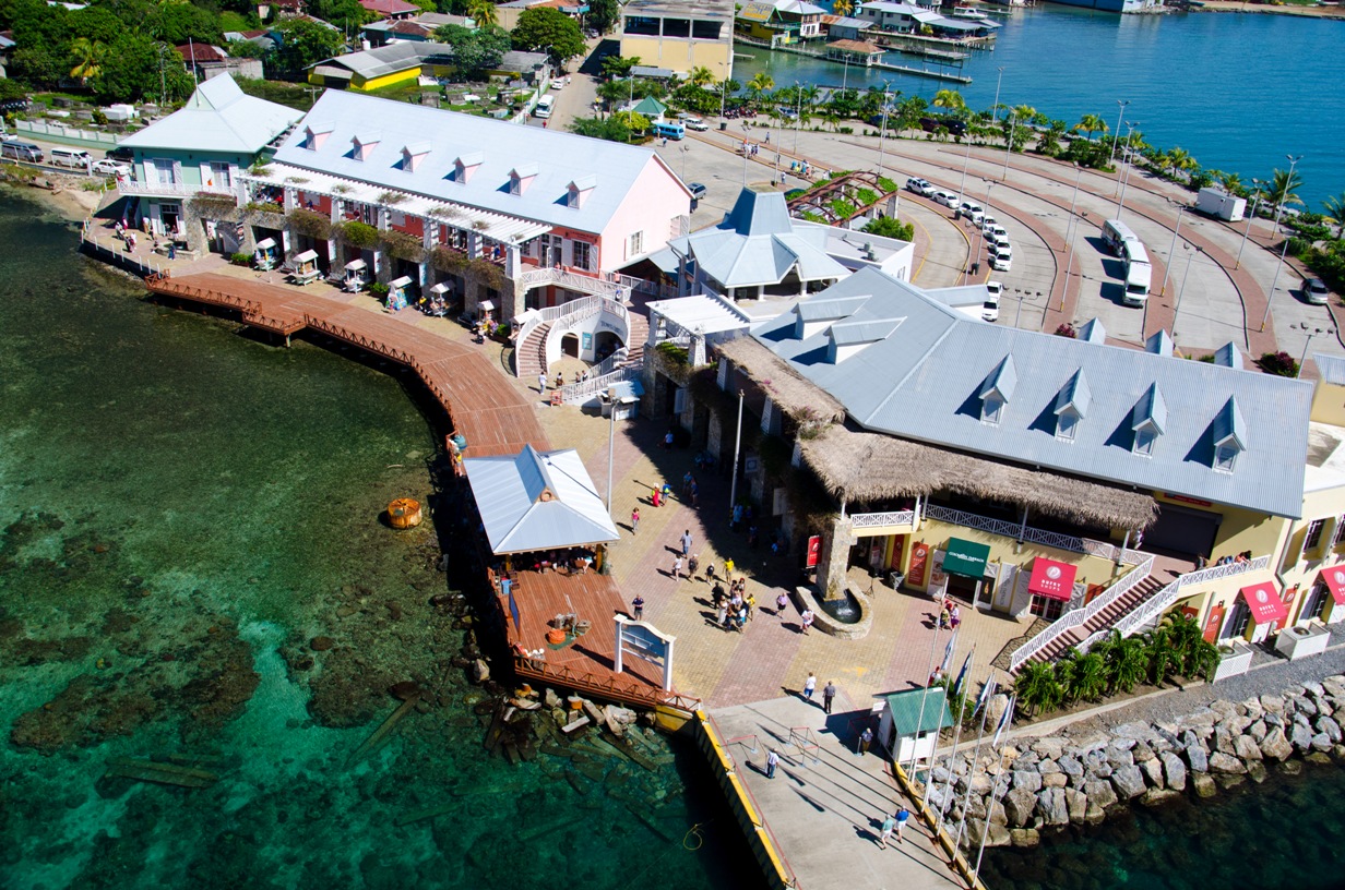
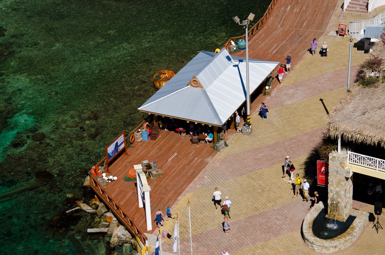
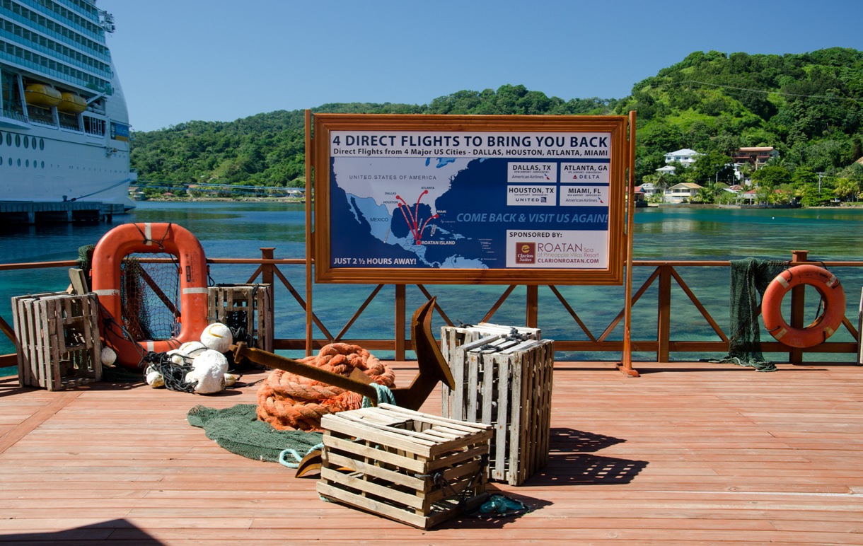
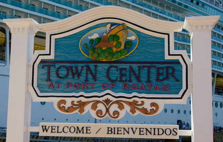
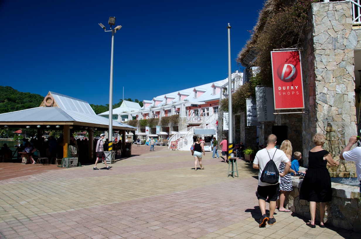
It's economy is mainly tourism based. Not only has Roatan become a popular cruise ship destination in recent years, but it's also a known mecca for divers. Underwater visibility is typically 80 to 100 feet.
Commercial fishing contributes to the Roatan economy, with the town of French Harbour housing one of the largest fishing fleets in the western Caribbean.
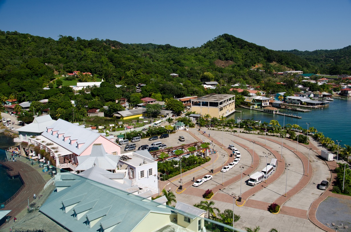
Buses run every 15 min between Coxen Hole (one of the two cruise ports) and West End during the day. They depart from opposite the HB Warren supermarket in Coxan Hole. Buses also run every hour to Oak Ridge, stopping at the new ferry terminal and passing through French Harbour, Polly Tilly Bight, and Punta Gorda along the way.
There are also ferries and taxis. Tipping is not expected.
While most places accept US Dollars, change is often in local currency.
© Copyright 2008 Write Sounds Entertainment, Inc. All Rights Reserved.
