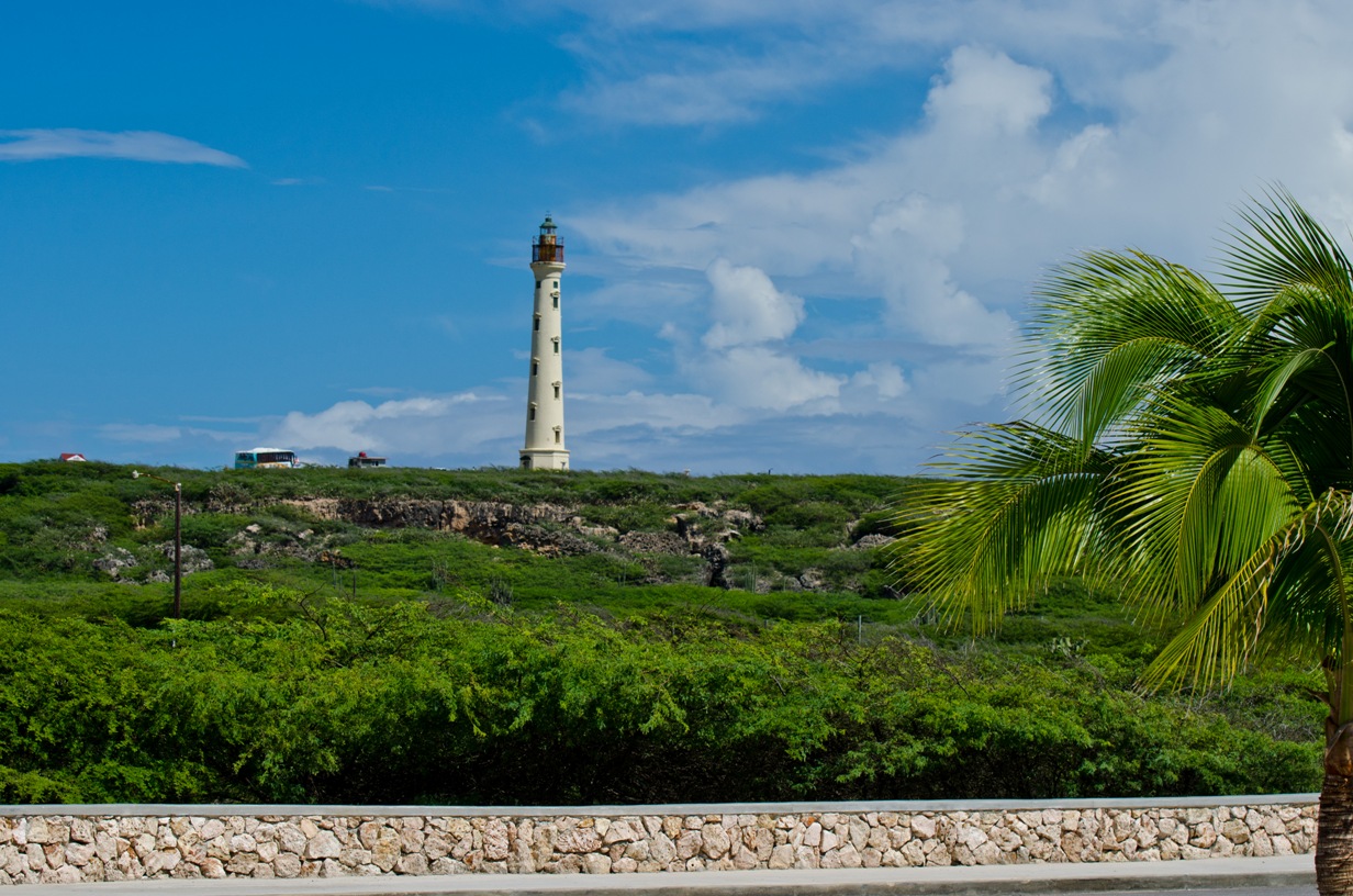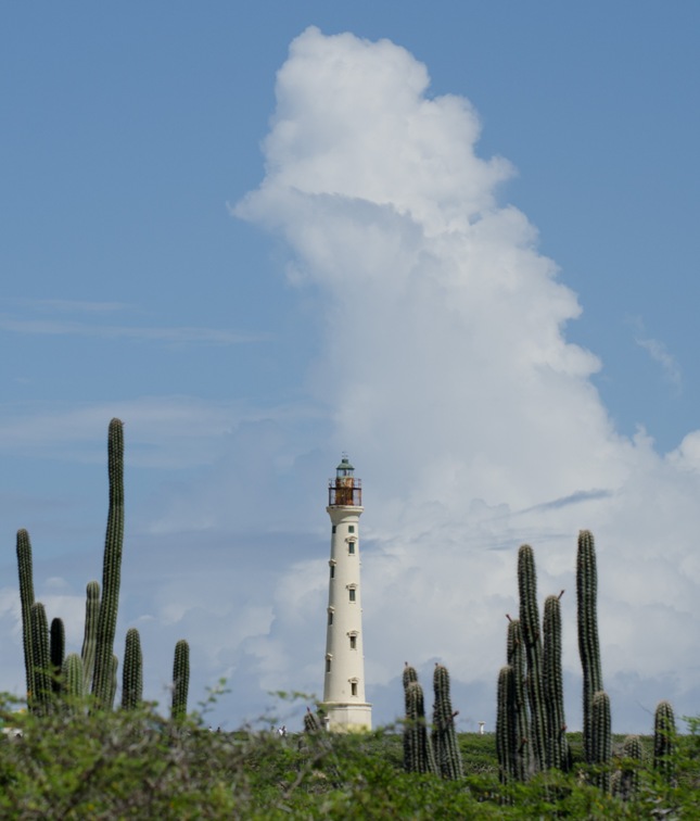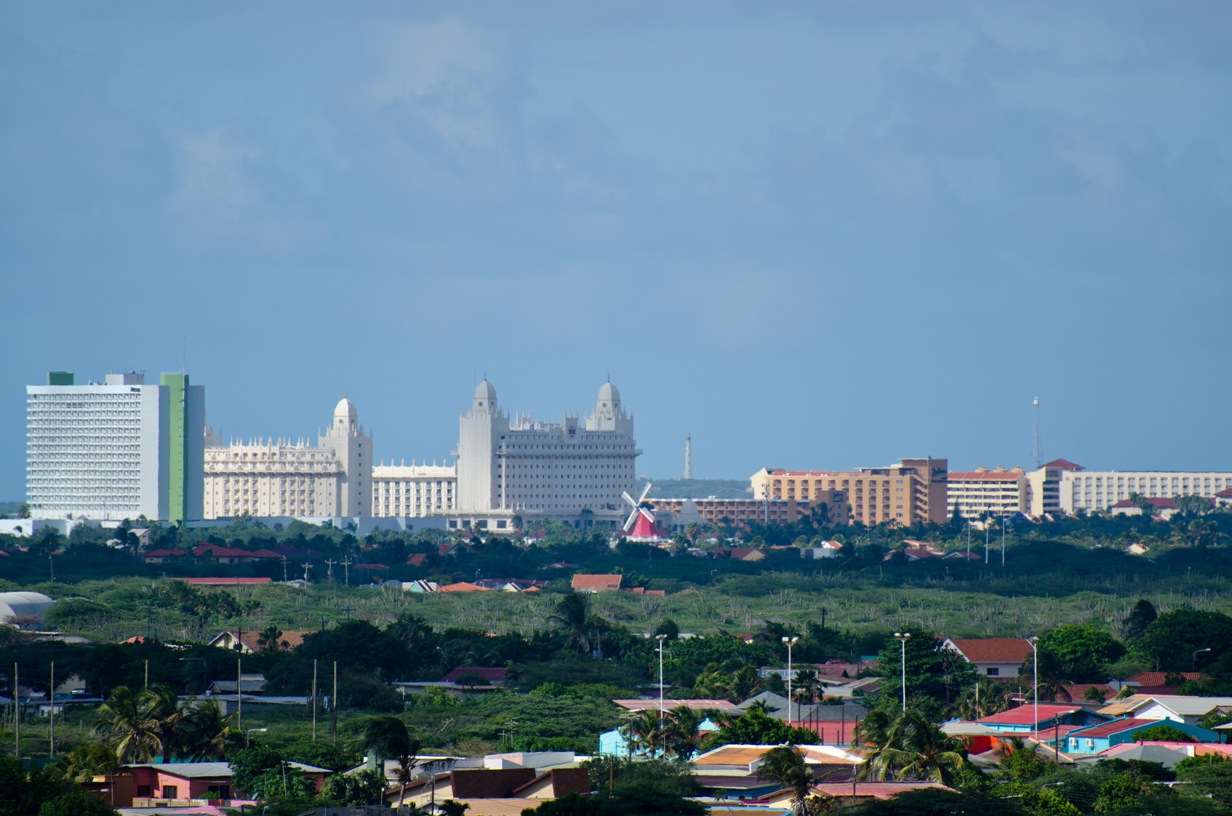
Lighthouse
Aruba
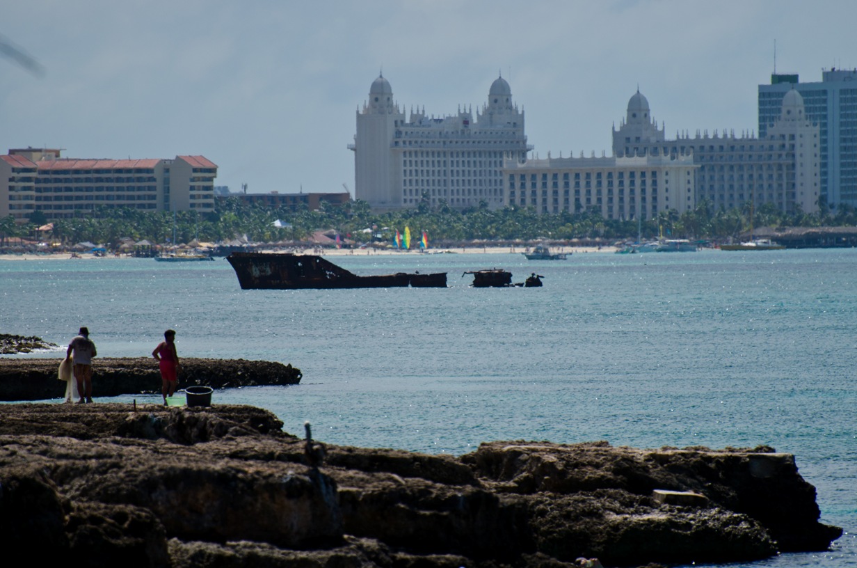
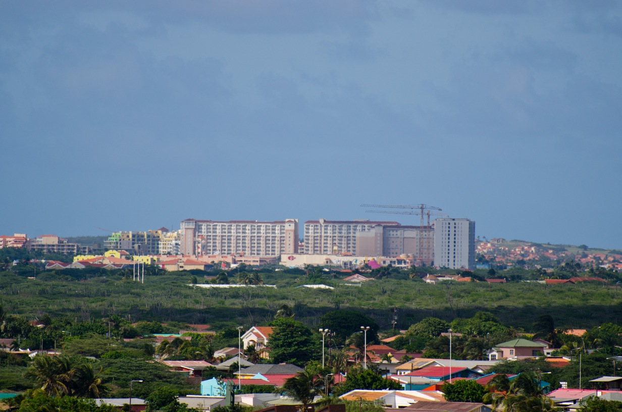
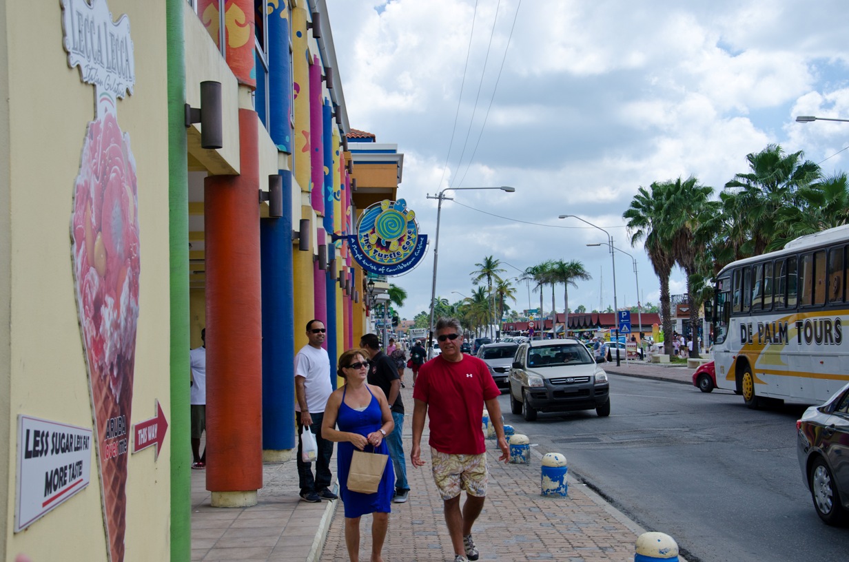
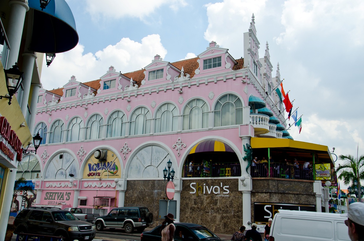
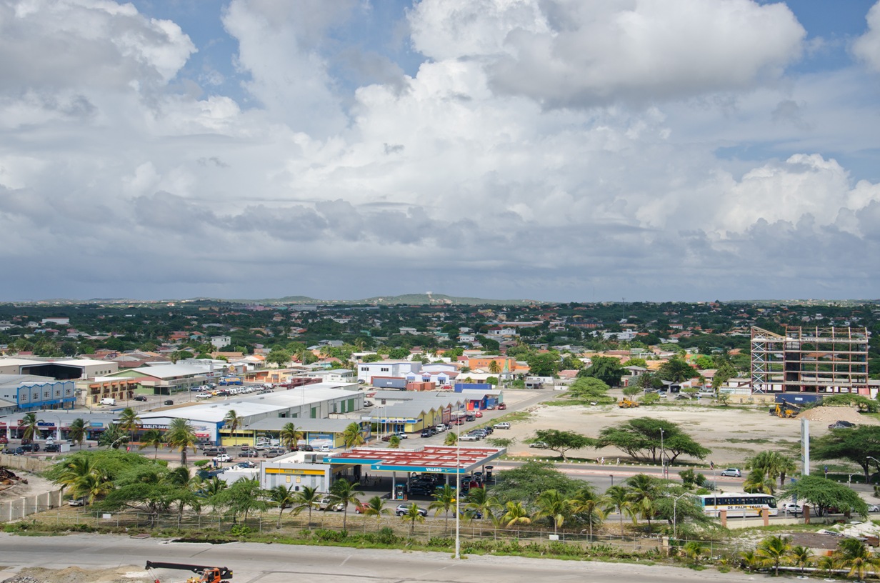
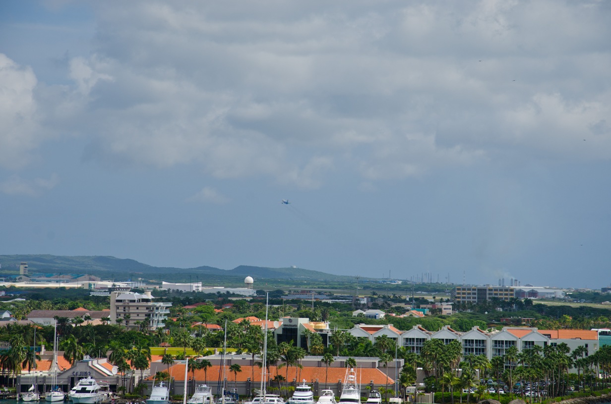
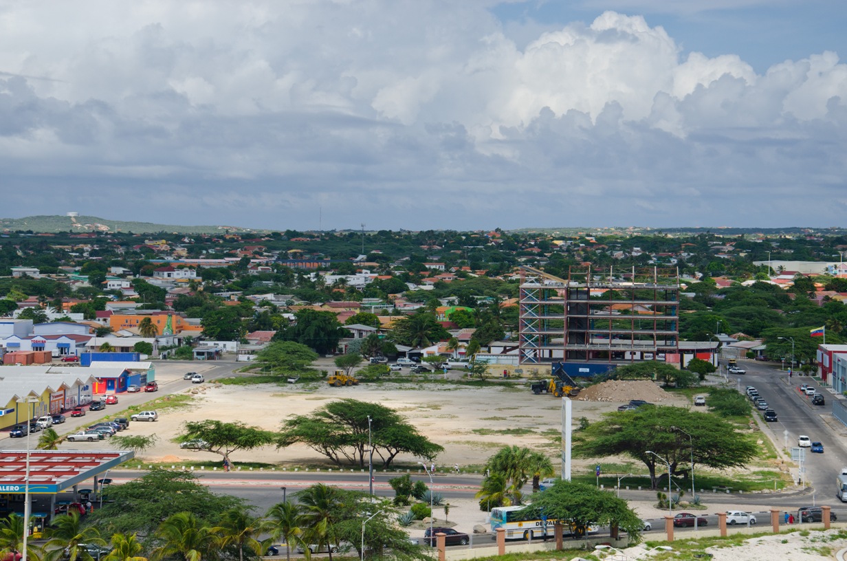
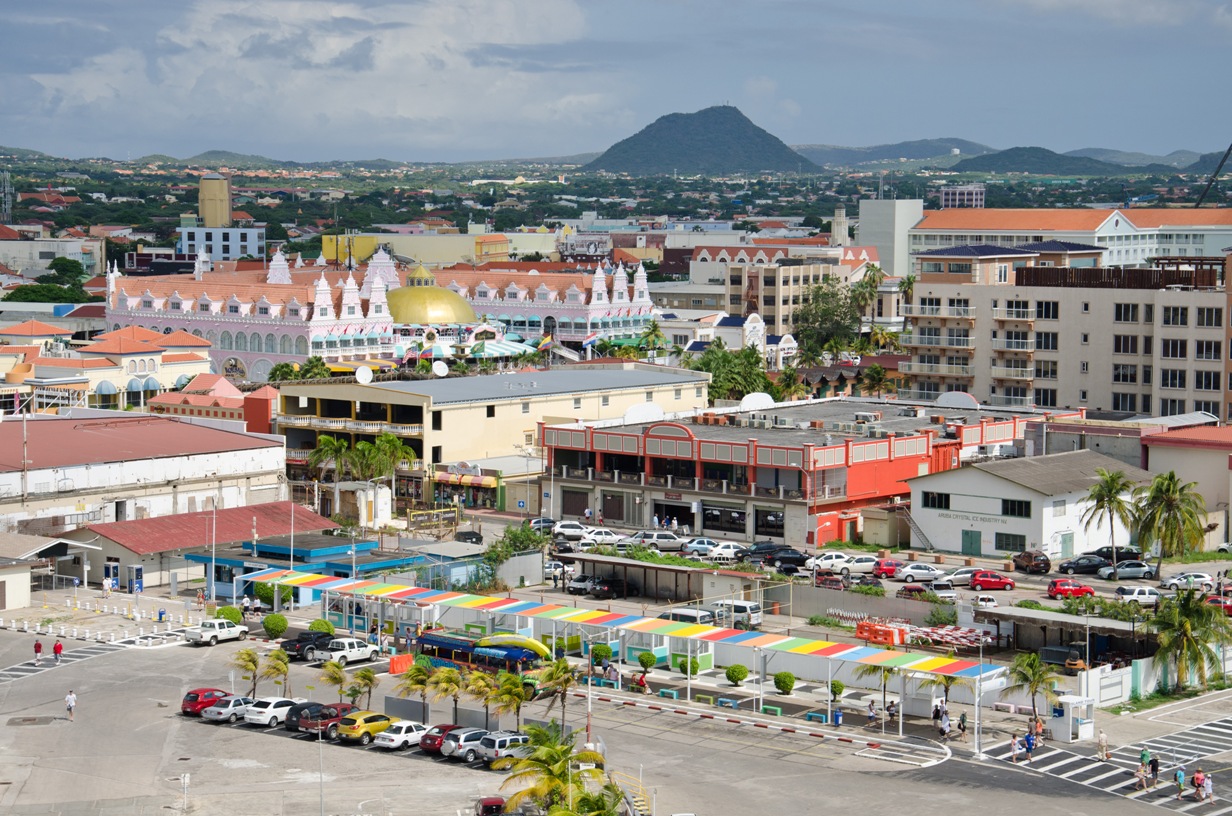
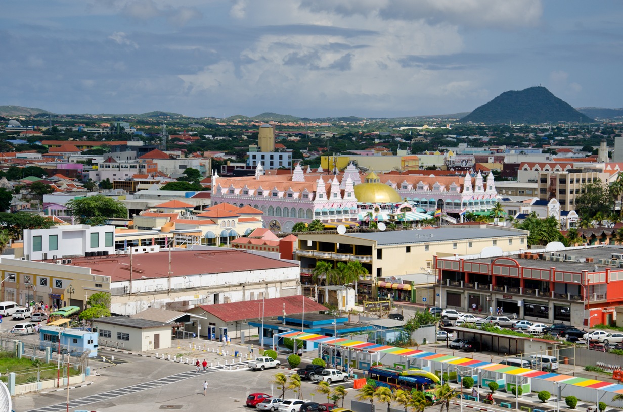
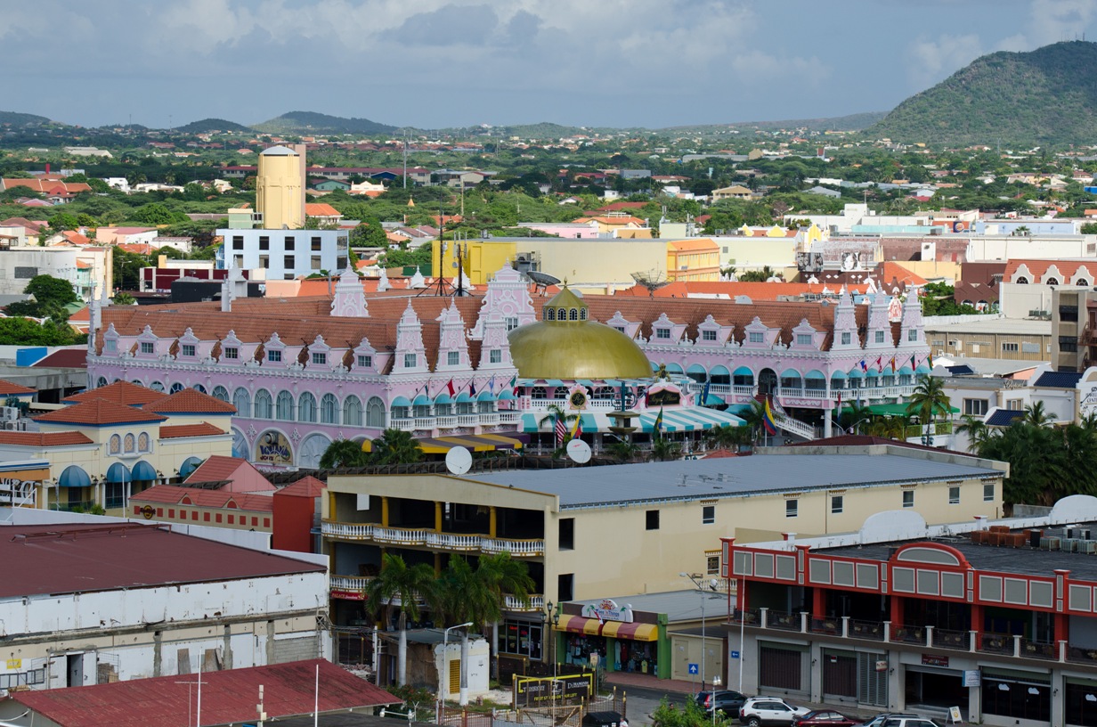
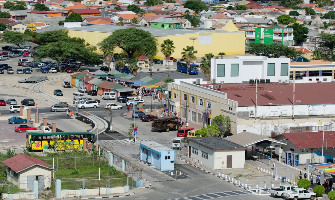
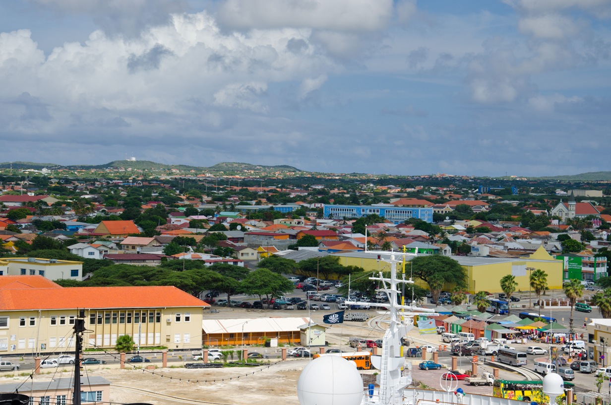
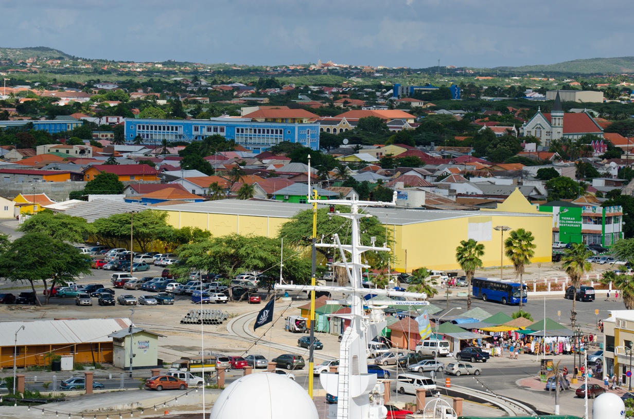
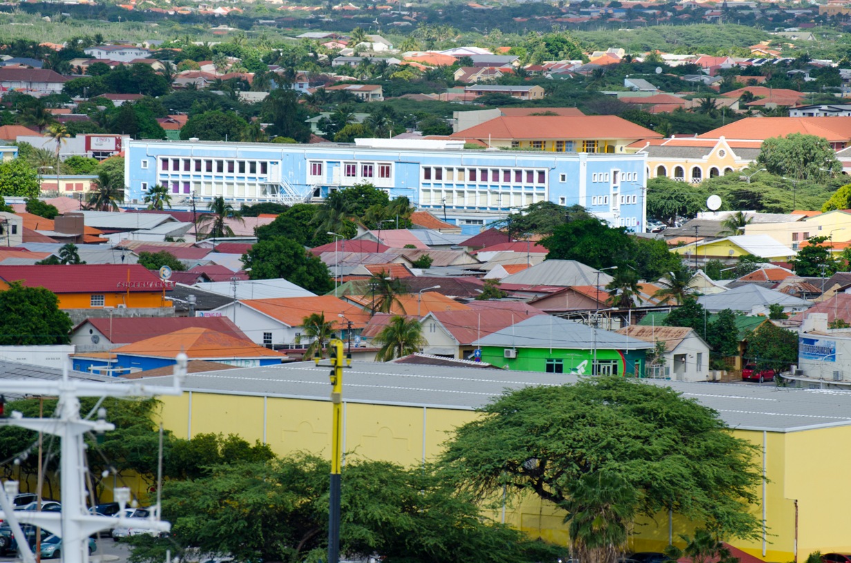
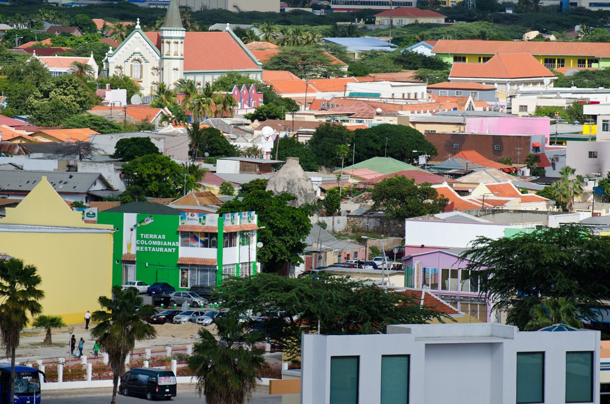
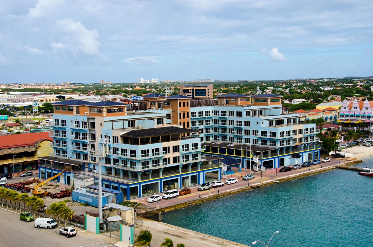
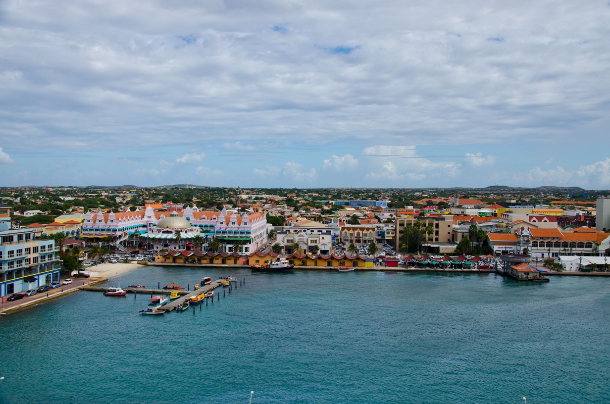
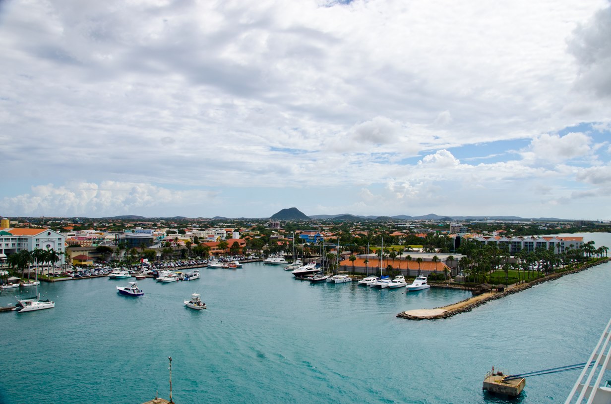
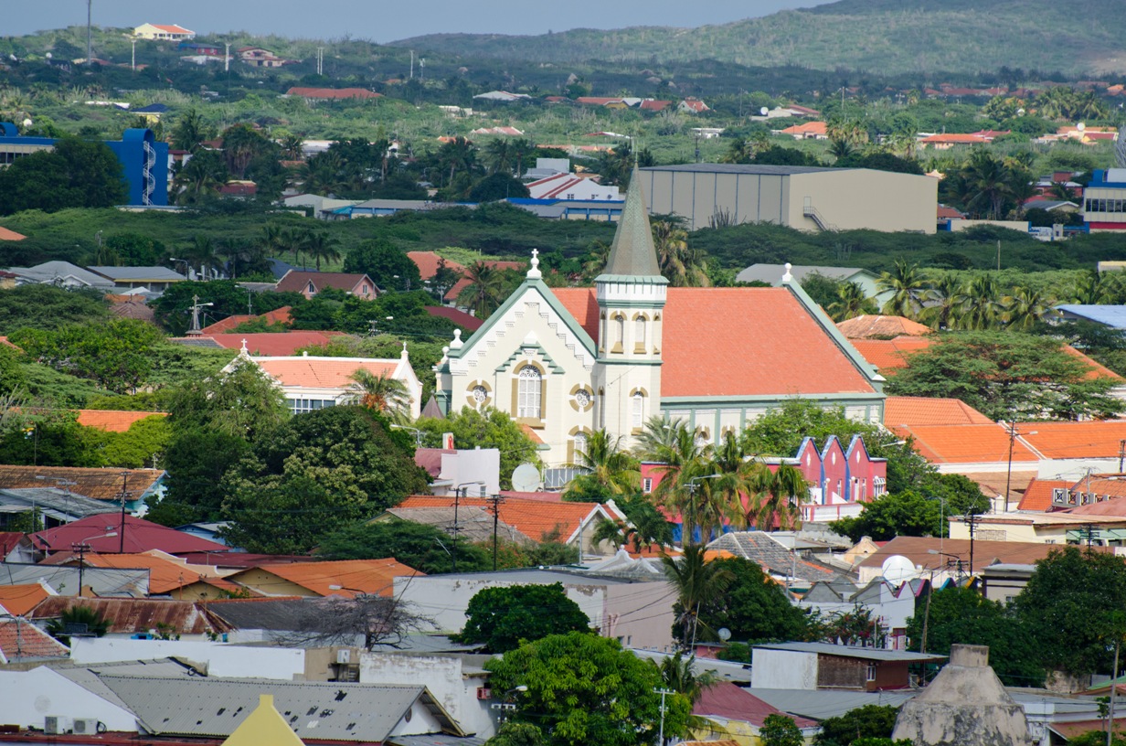
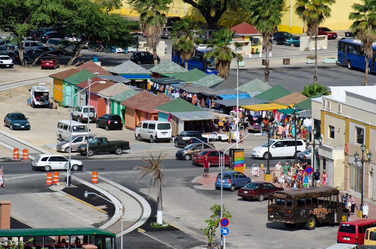
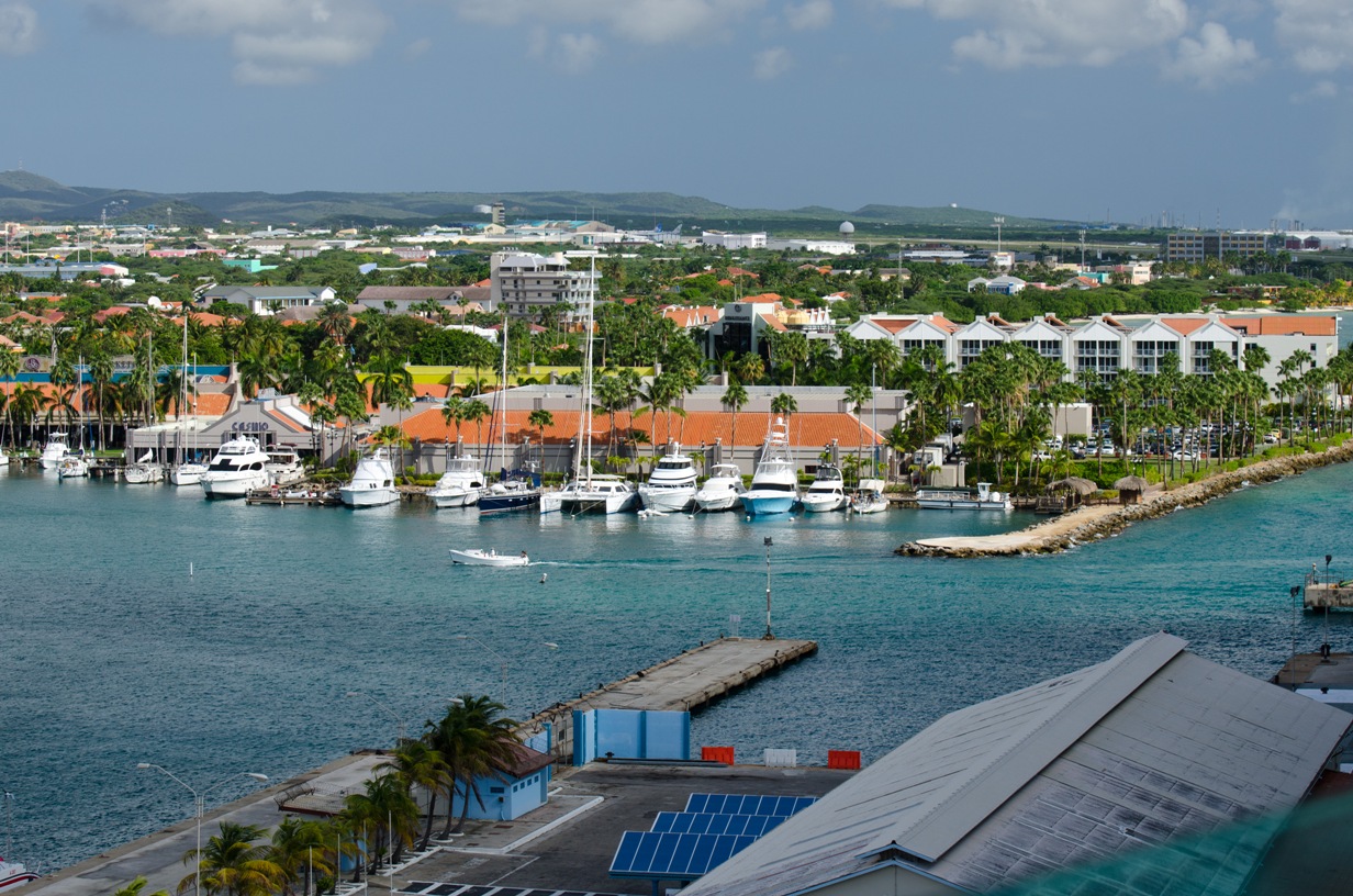
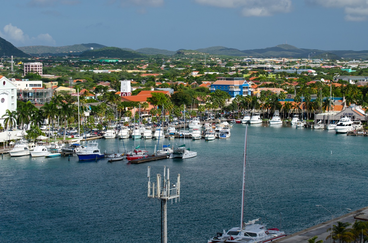
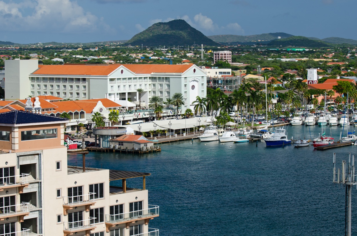
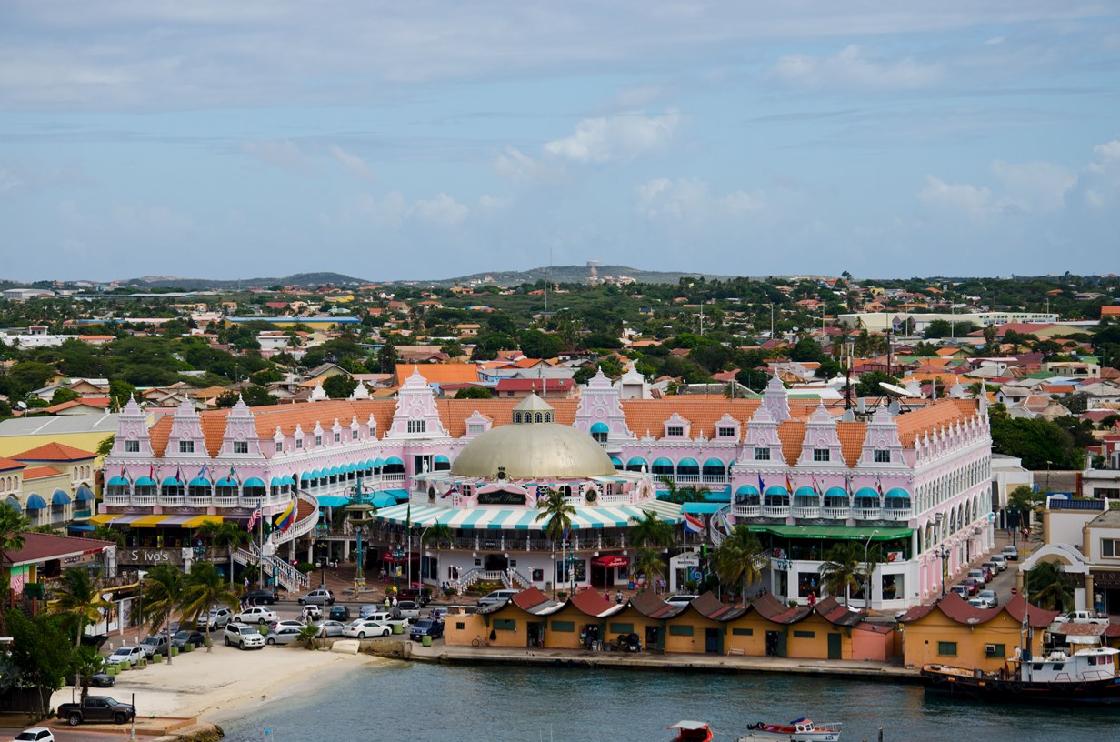
Location: 12° 30' N, 69° 58' W Population: 110,000 Capital: Oranjestad (pop. 33,500) Length/Width: 19 mi long, 5 mi wide Area: 53.7 sq. miles Avg Temp: 80.6°F (78.8°- 84.2°F) Rainfall: 20.1 inches Language: Papiamento 67%, Spanish 13%, English 8%, Dutch 6% Money: Florin (AWG) Commerce: Mainly Tourism, some offshore banking, no agriculture History:Aruba is a small, flat island known for its extensive white beaches. It is one of the ABC islands: Aruba, Bonaire, Curacao (also known as the Lower Antilles) and is only 15 miles from Venuzuela.
The Arawak Indians from South America were the first inhabitants of Aruba. Spain discovered the island in 1499, and in 1836 the Netherlands claimed it after an 80 year war with Spain and its allies. After a brief rule by the British, the Dutch took control for good in 1816. In 1845 Aruba officially became part of the Netherlands Antilles. On Jan. 1, 1986, Aruba seceded from the federation, but stopped pursuing full independence in 1994 and became a member of the Kingdom of the Netherlands instead. The internal affairs are handled by an island government which controls its own civil service, judiciary, revenue, and currency, but the Netherlands control Aruba's defense and foreign affairs. The island's economy has been dominated by three main industries. A 19th century gold rush, the opening in 1924 of one of the largest oil refineries in the world (subsequently shut down in 1985), and most recently tourism.
© Copyright 2008 Write Sounds Entertainment, Inc. All Rights Reserved.
