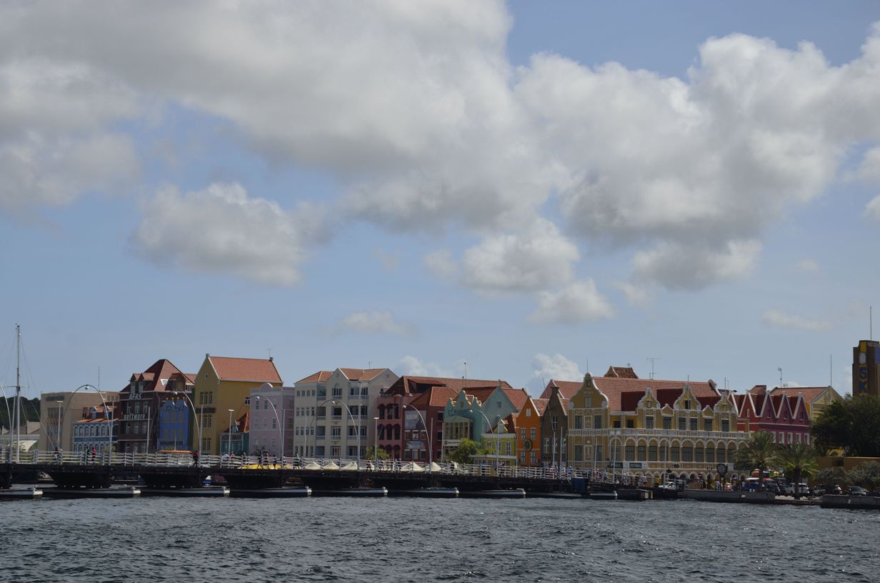
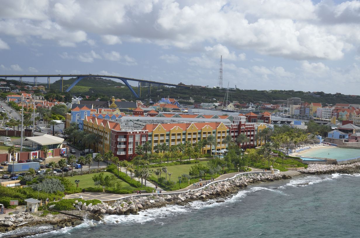
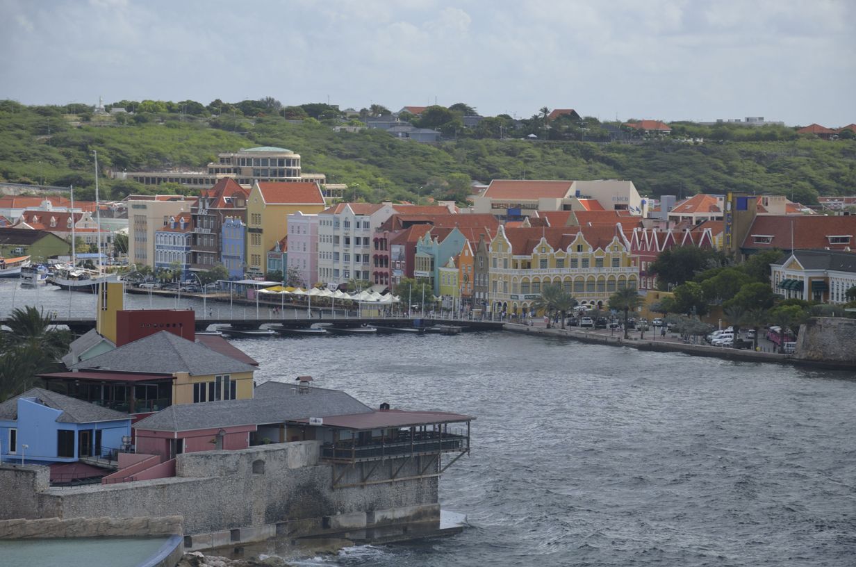
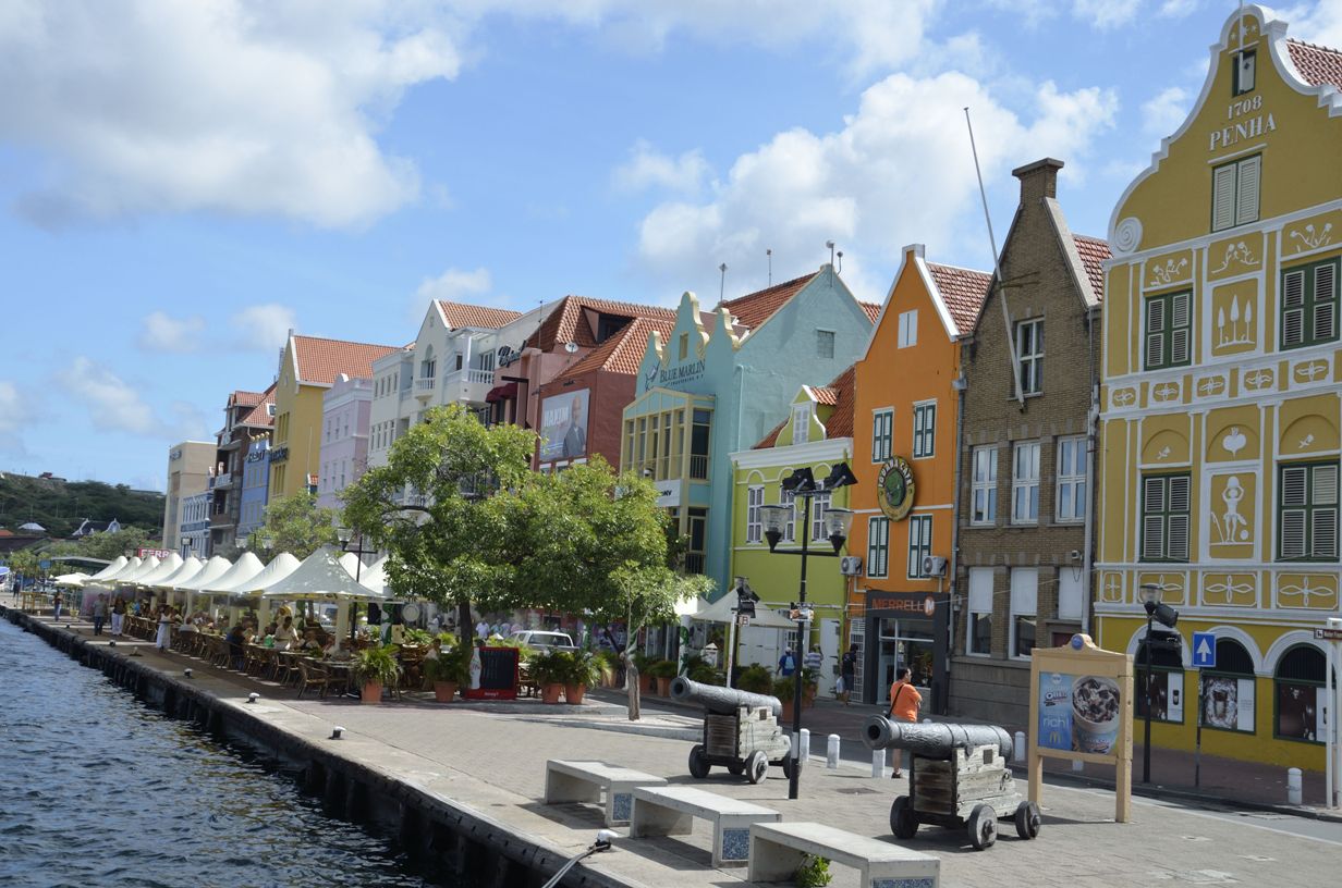
 Along the waterfront
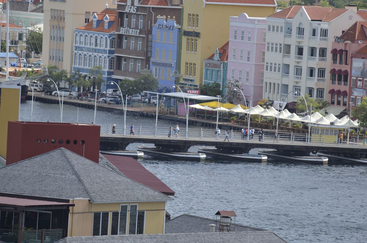
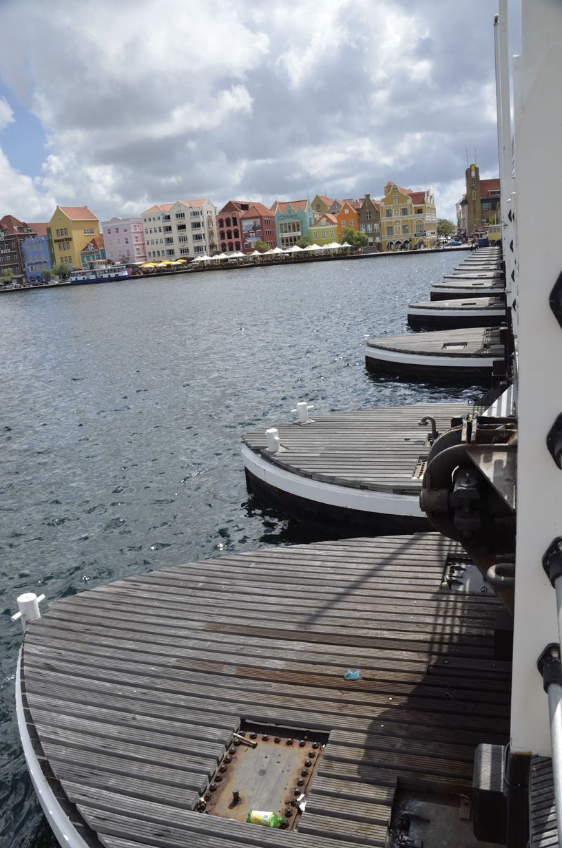
Zoom to bridge
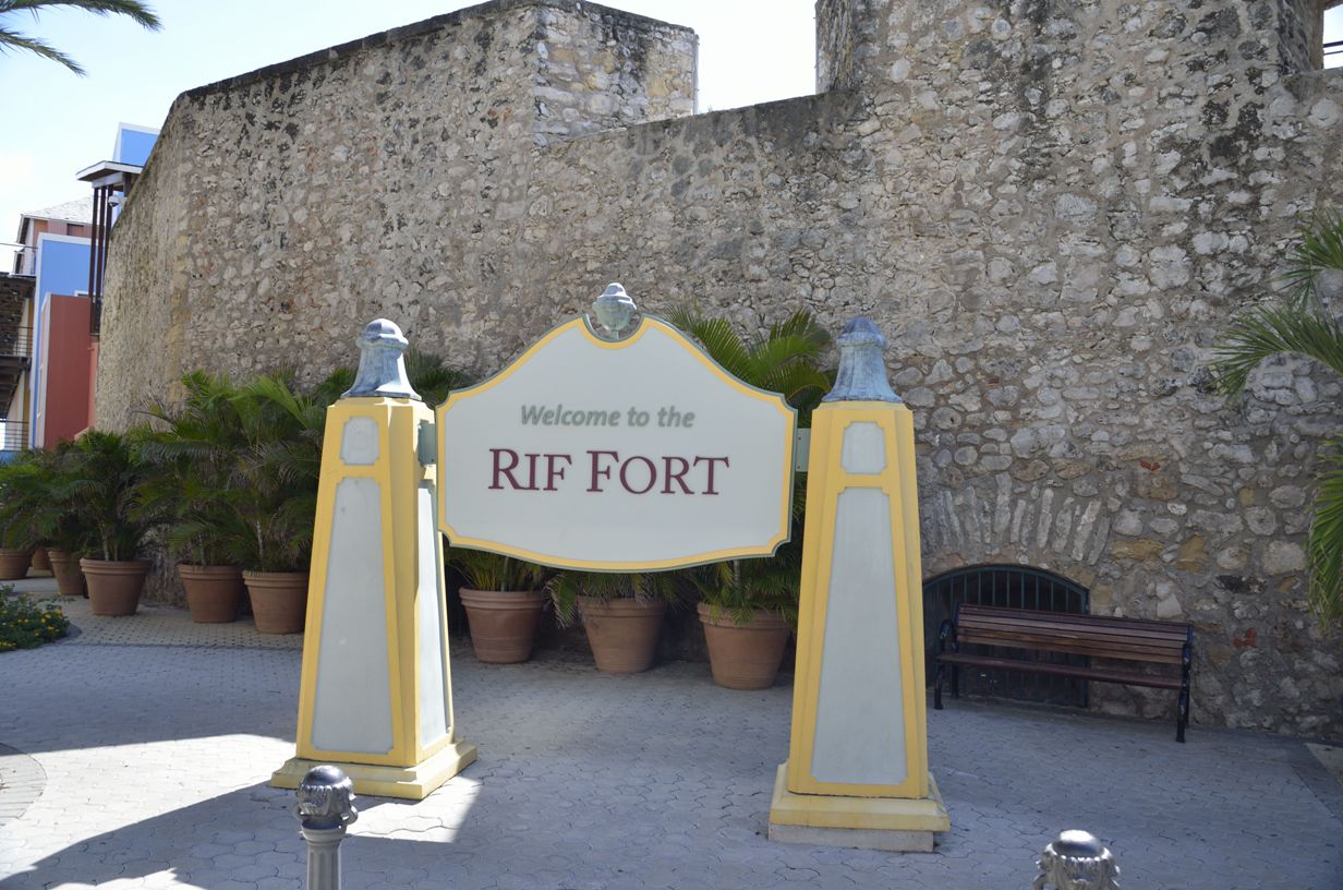
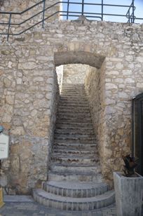
Entrance to Fort
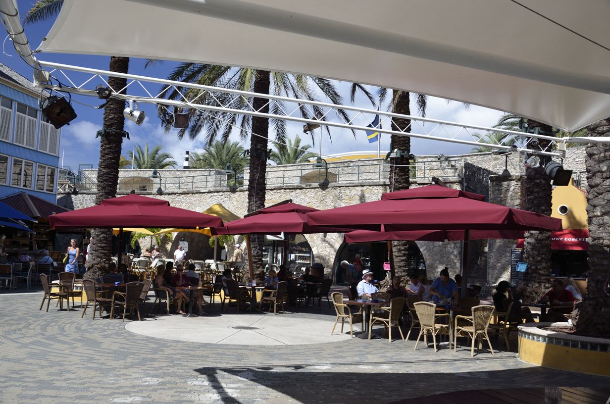
Tourist Trap
Curacao
Location: 12.10°N 69.00°W Population: 146,000 Capital: Willemstad (pop. 140,000) Length/Width: 38 x 9 miles Area: 444 sq. km nbsp; (171 sq. mi) Avg Temp: Day 31.2°C (88.2°F), Night 25.3°C (78.1° F) Rainfall: 21.5 inches Language: Dutch, Papiamento, English, Spanish Money: Anitllian Guilder (ANG) US Dollars are OK, but change will likely be guilders> Commerce: Tourism - 82.3%, Petroleum, offshore finance - 17%, Agriculture - .7% Exports: Refined oil & gas, aloe History: Curaçao was home to the Arawaks until the Spanish arrived in 1499. After the Dutch conquest in 1634, the Dutch dominated the international slave trade where half of the African slaves destined for the Caribbean passed through Curacao before being sold to wealthy plantation owners throughout the Americas. Control of the island fluctuated between the British and Dutch during the 1700s until 1807 when the British finally gained control for the last time. Nine years later the Dutch regained control of Curaçao which they have maintained since.The end of slavery in the Virgin Islands in 1848 sent Curaçao into a 19th-century economic decline until oil refineries to process Venezuelan oil were built in the early 20th century. It wasn't until the 1920's and 1930's that the largest influx of worldwide immigrants came and turned the island into a multicultural melting pot. In 1954 the islands became completely self-governing within the Kingdom of the Netherlands.
Relative affluence and Dutch political stability have made Curaçao a regional center for commerce and banking.
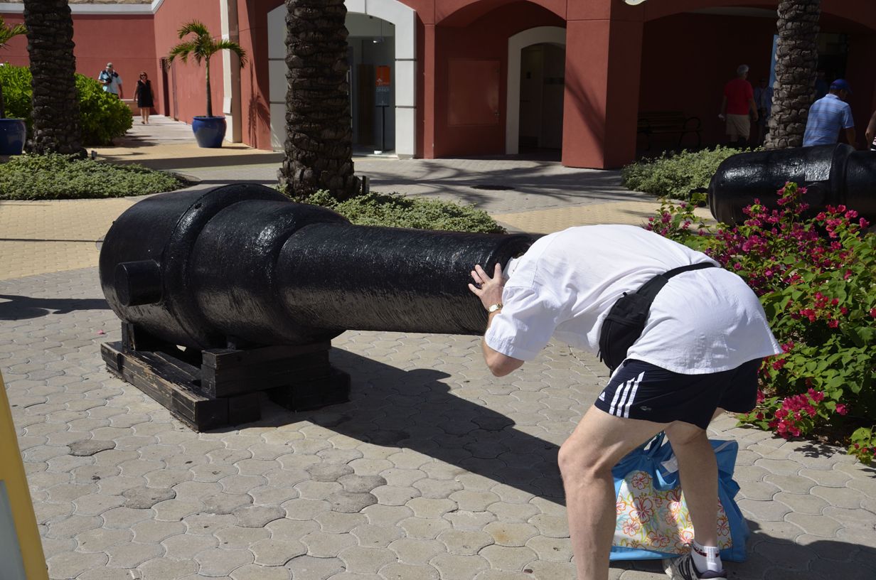
Inside Fort
Stairs in Fort
Bridge Pontoons
© Copyright 2008 Write Sounds Entertainment, Inc. All Rights Reserved.

