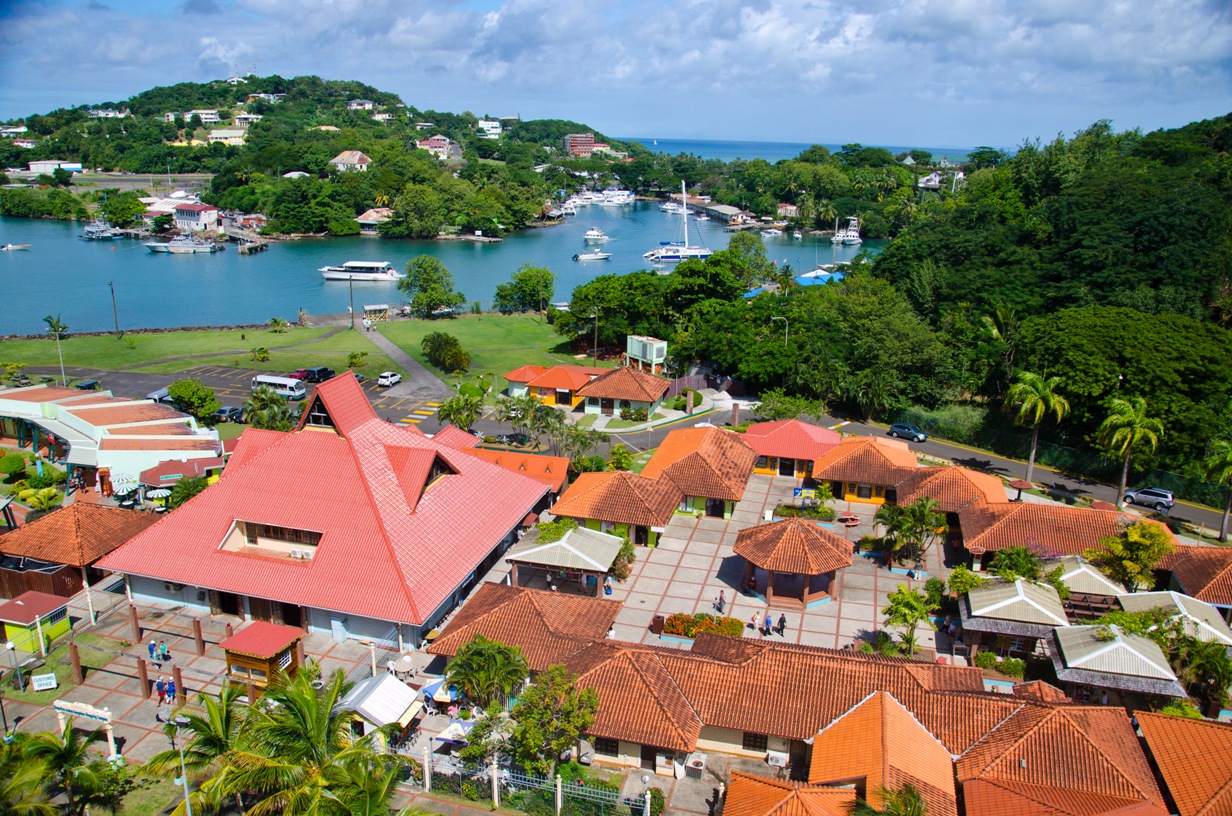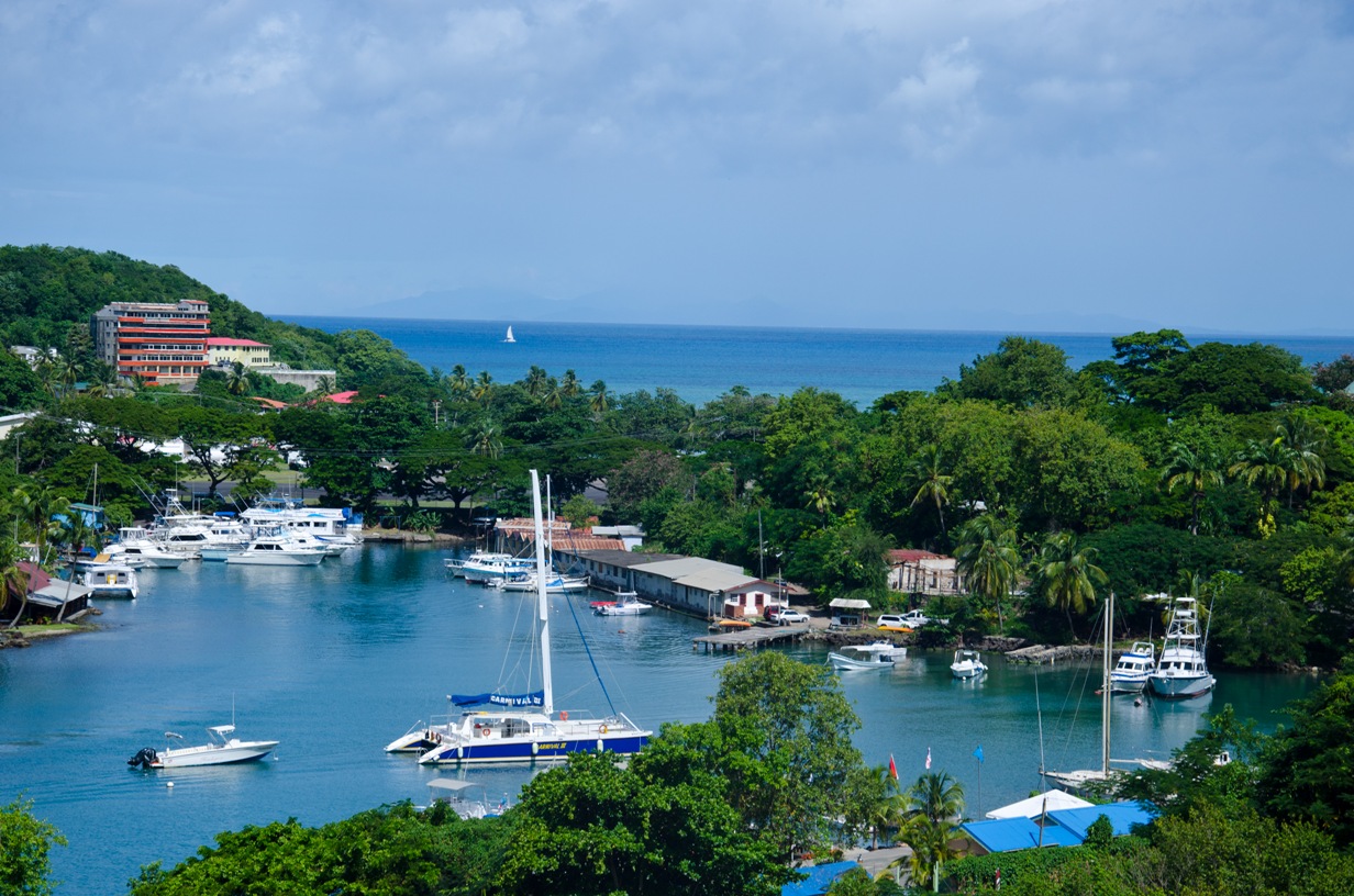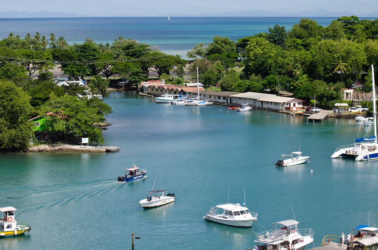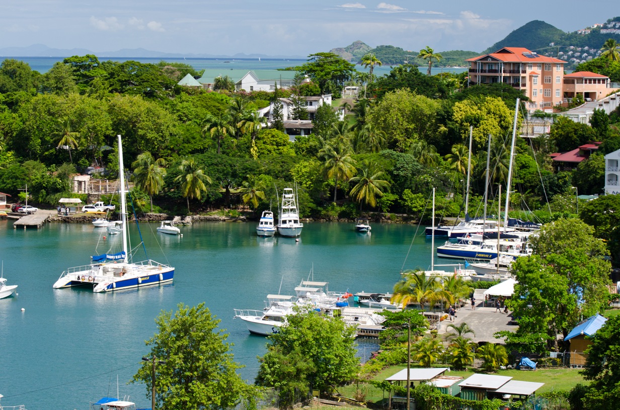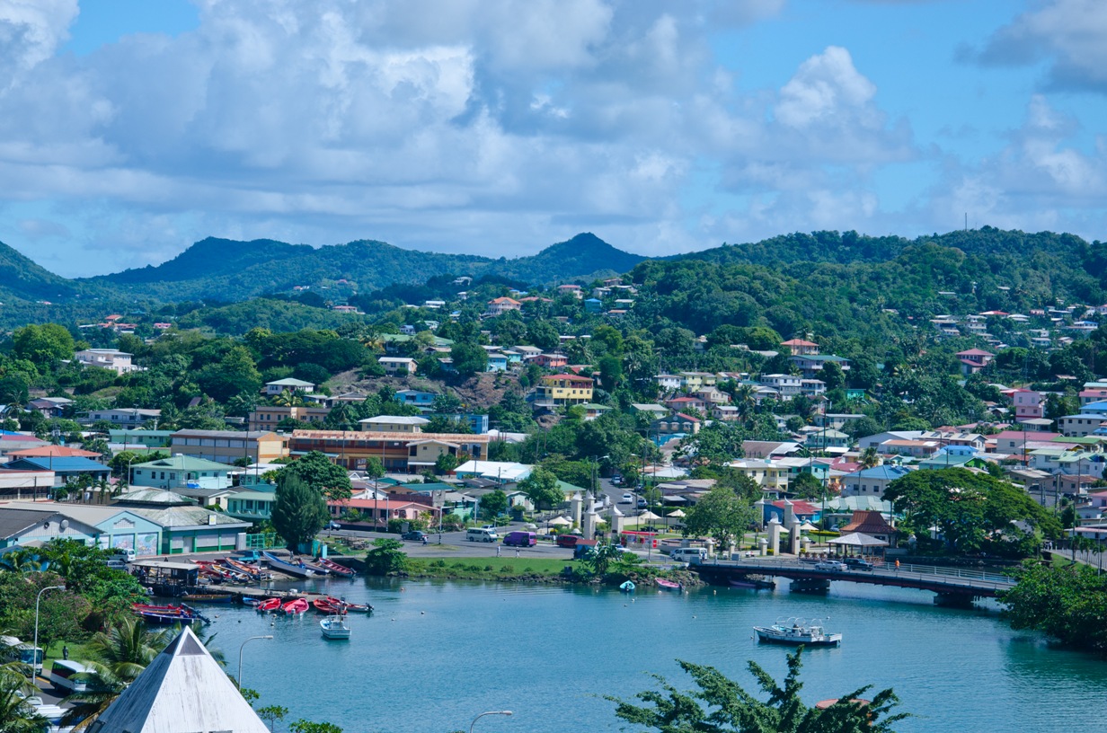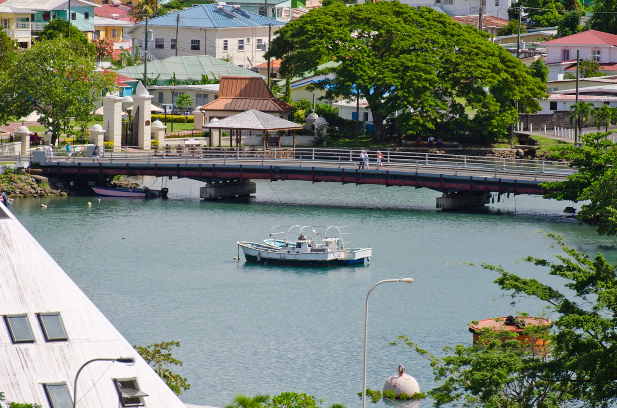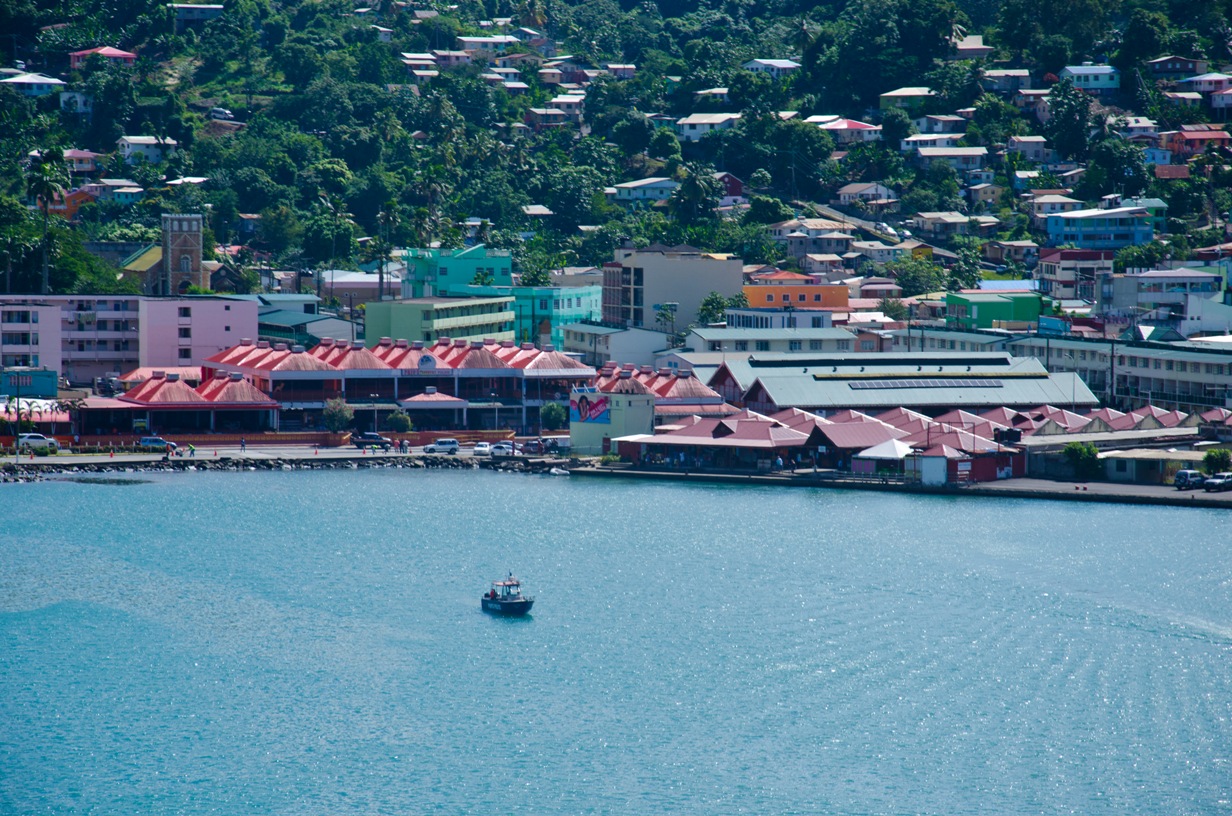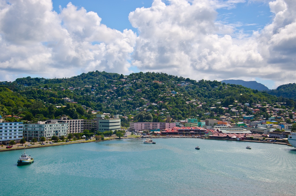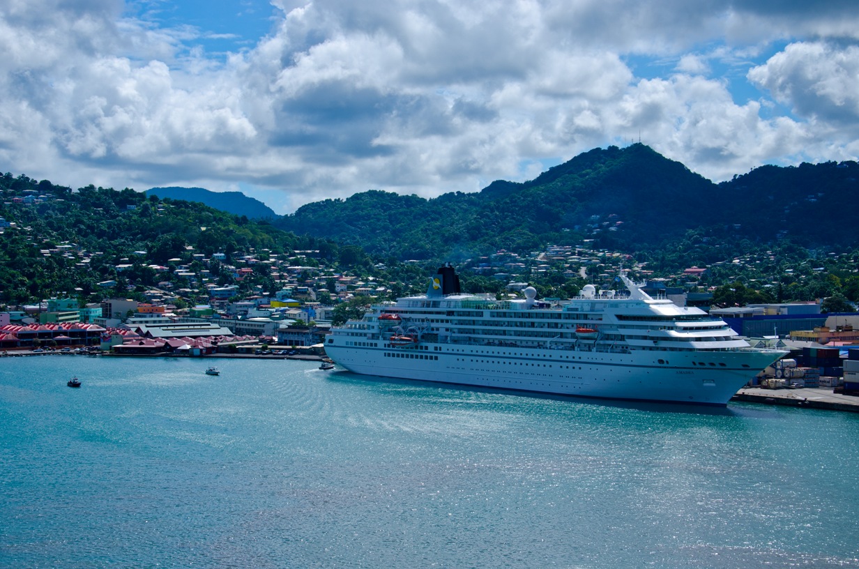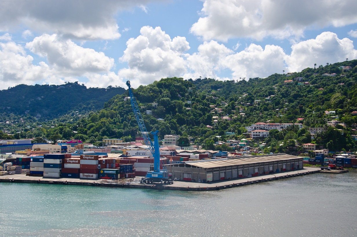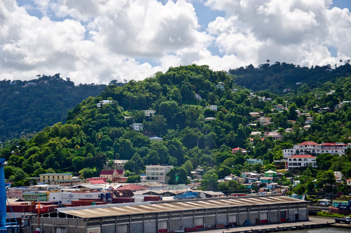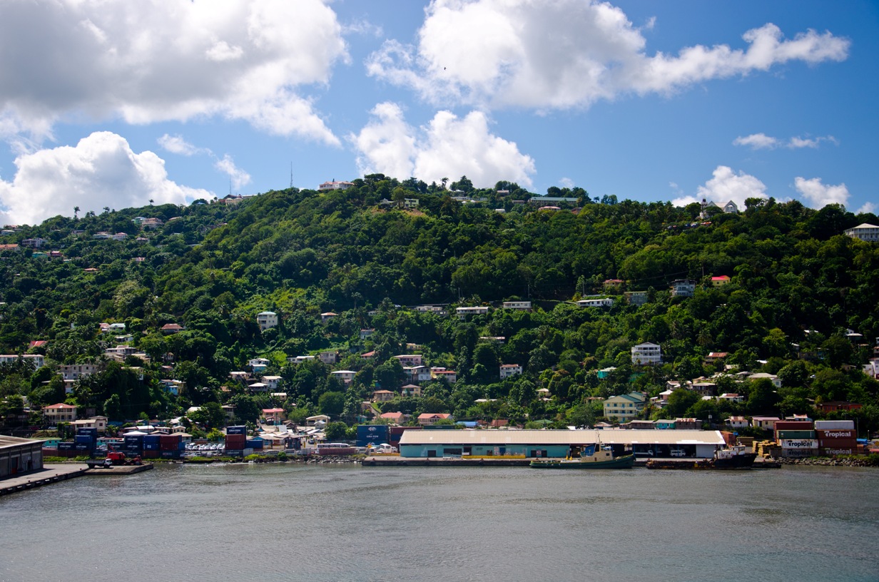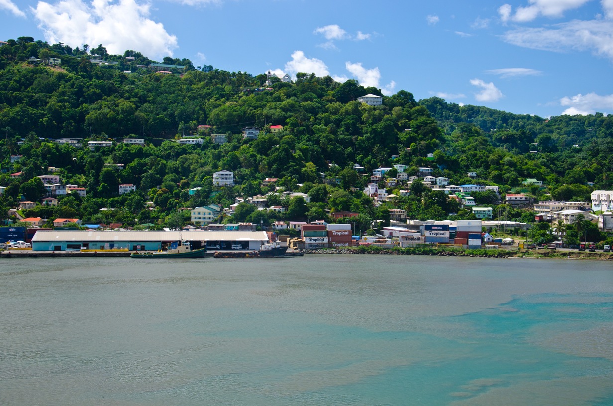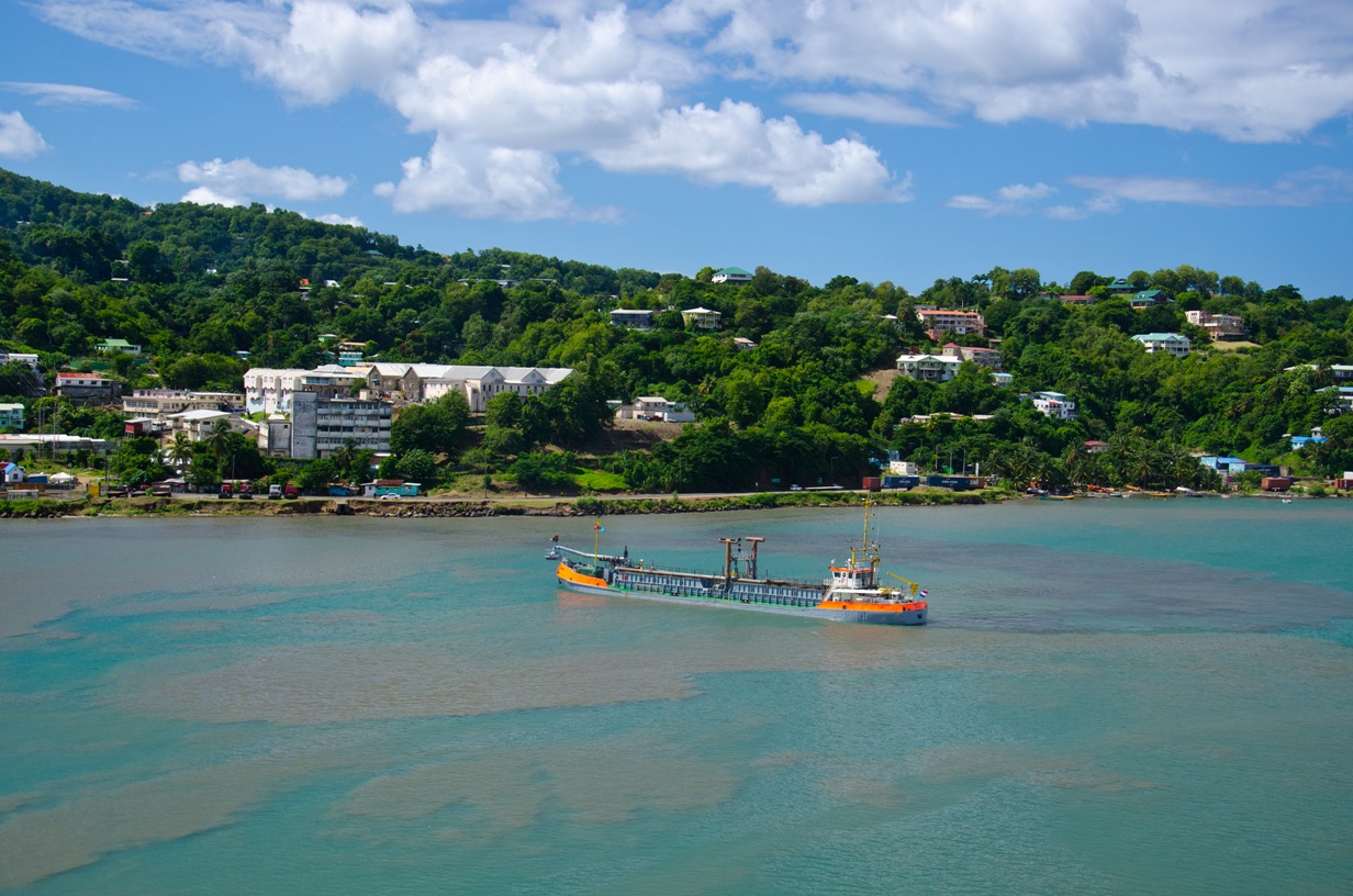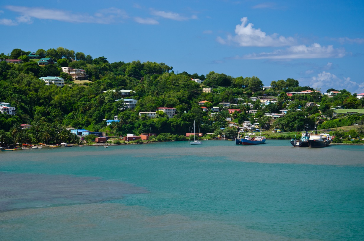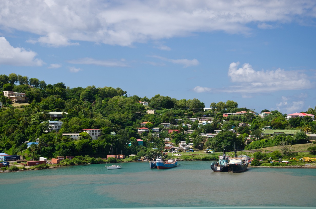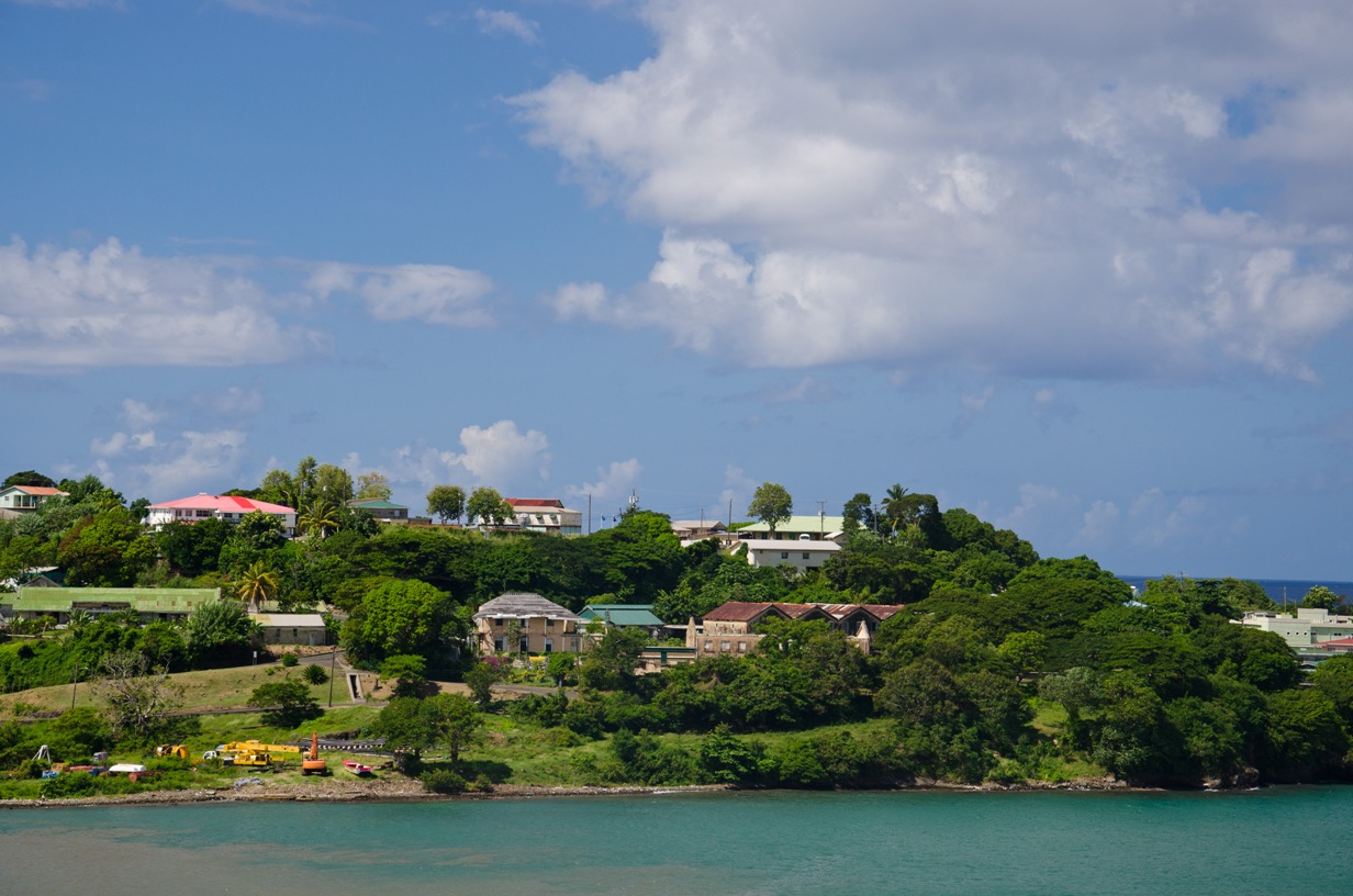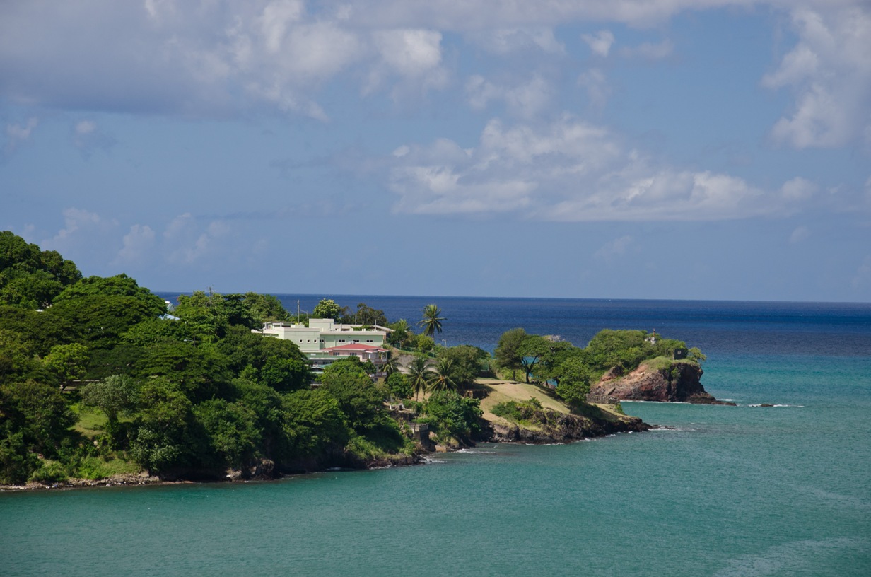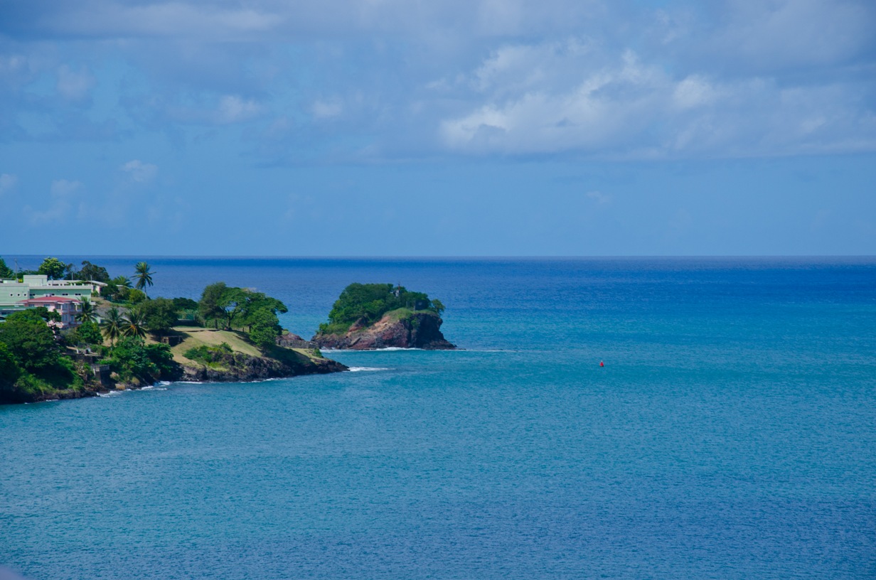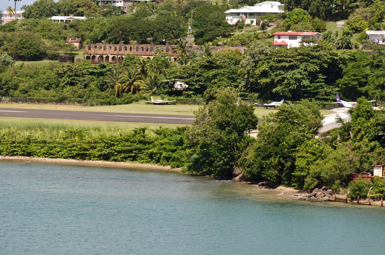
St. Lucia
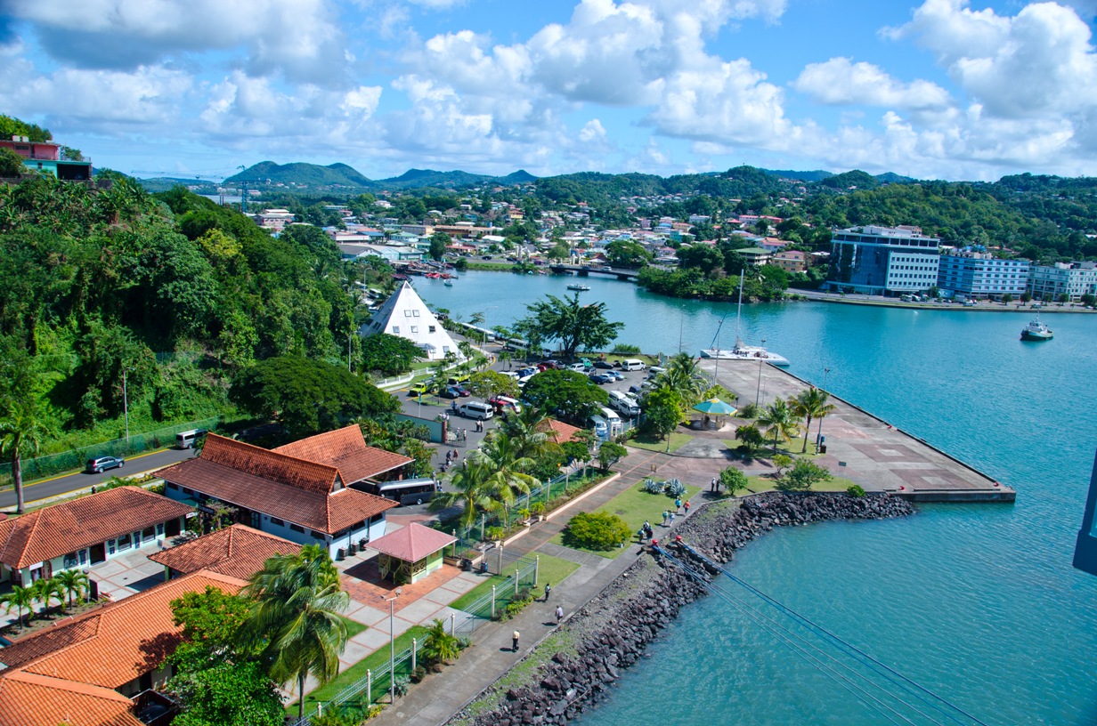
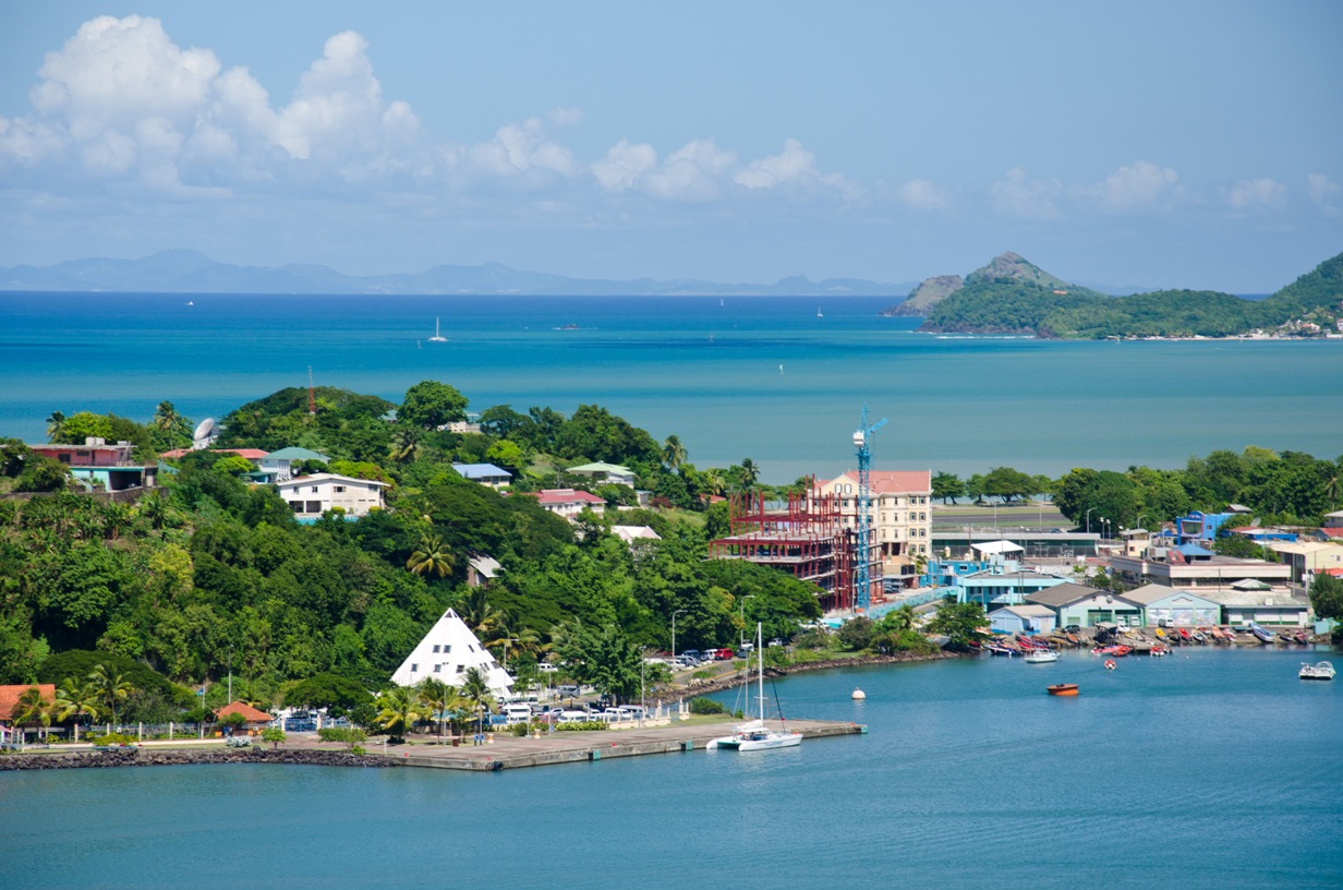
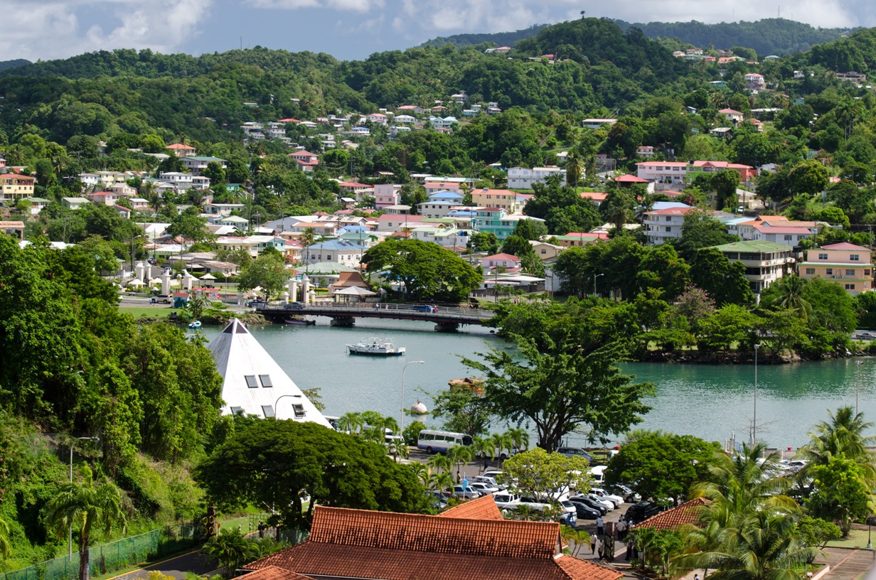
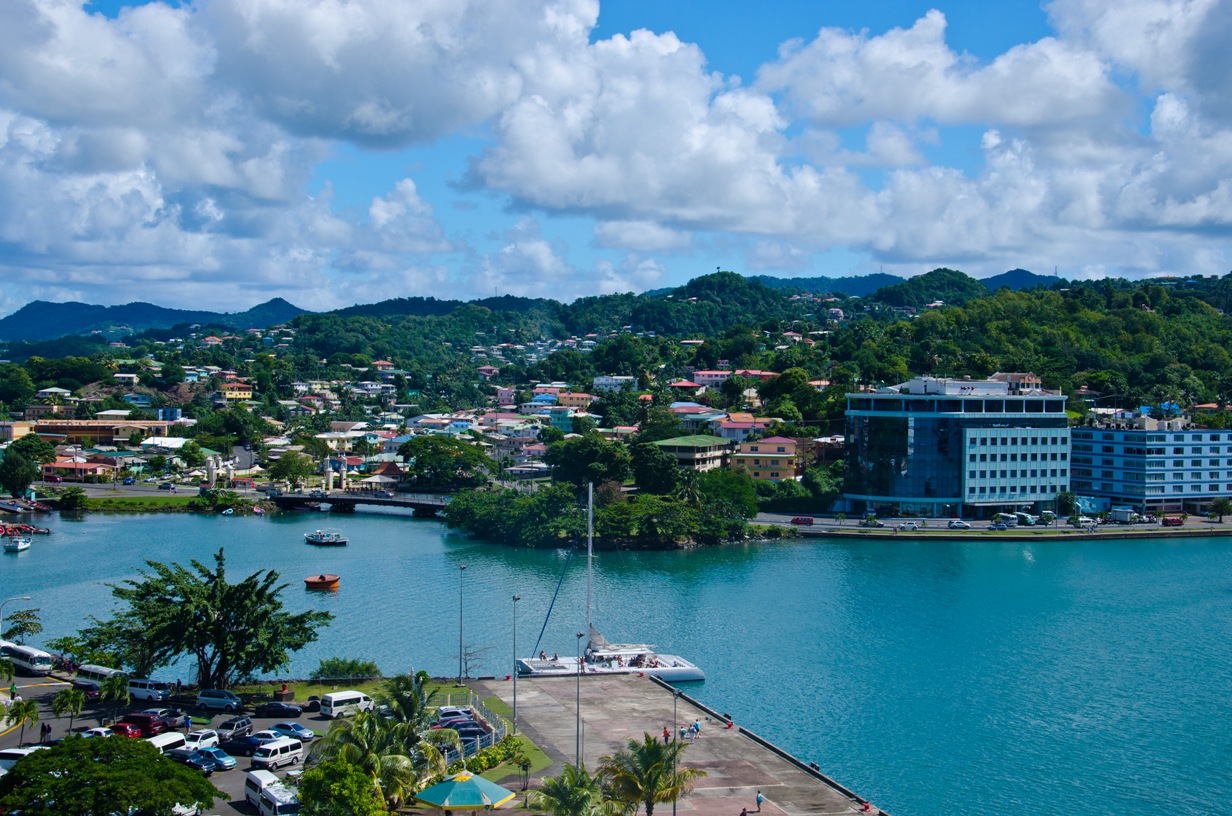
Location: 13.9°N 61.0°W Population: 162,200 Capital: Castries (pop. 60,200) Length/Width: 43.5 x 22.5 km Area: 616 sq. km nbsp; (238 sq. mi) Avg Temp: Day 29°C (84.2°F), Night 18°C (64.4° F) Rainfall: Coast - 51.2 in, Mtn Rainforest - 150 in. Language: English with some Creole Money: East Caribbean Dollar (XCD) US Dollars are OK Commerce: Tourism - 65%, Industry & Offshore Banking - 17%, Agriculture - 2.7% Exports: bananas, mangoes, cocoa, cardboard boxes, clothing History: The first inhabitants were Arawak Indians from South America, who were gradually forced off the island by the Caribs between 800 and 1000. Originally discoverd by Spain in the 1490s and subsequently explored by France, control of the island switched hands between the French and British 13 times before finally becoming a British territory in 1814. In 1871 St. Lucia became one of the Windward Islands. The island group was granted home rule in 1967 and became known as the West Indies Associated States. St. Lucia achieved full independence on Feb 22, 1979. © Copyright 2008 Write Sounds Entertainment, Inc. All Rights Reserved.
