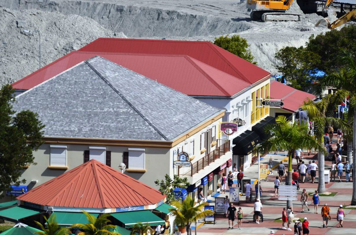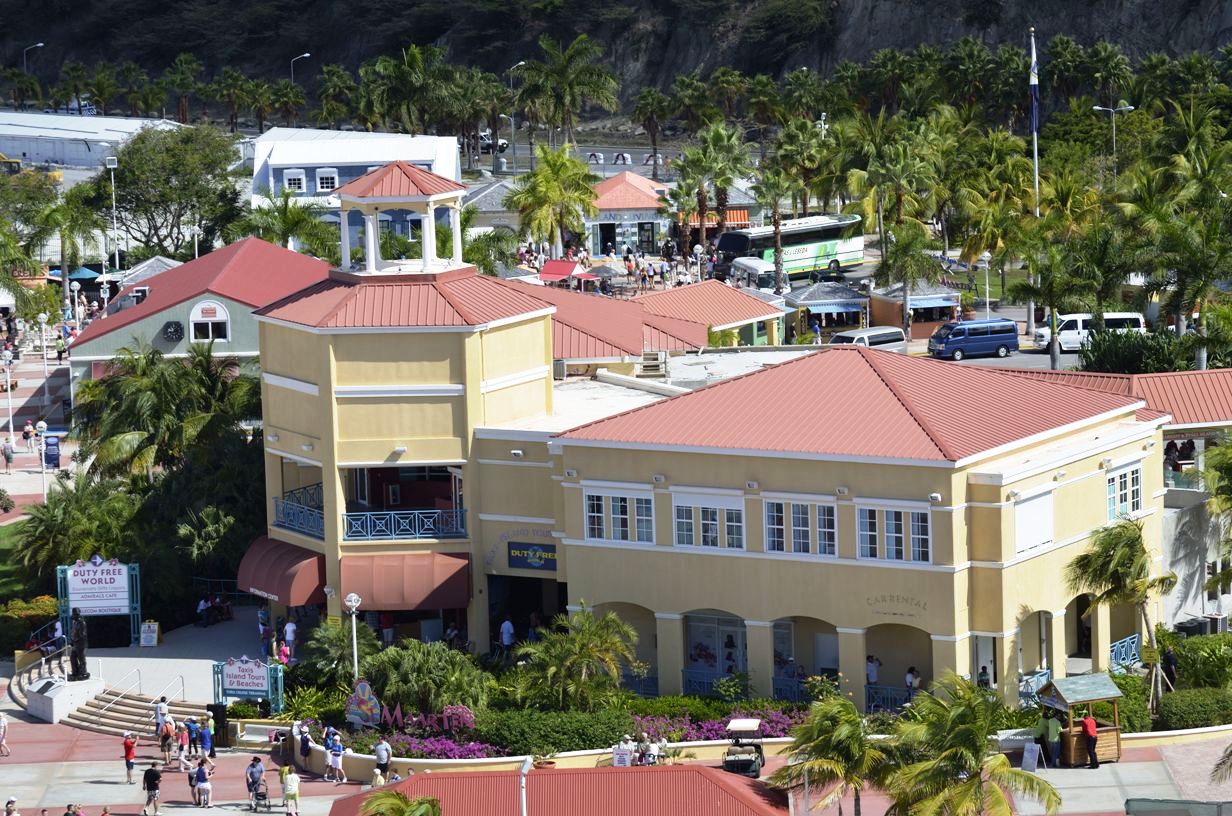
Duty Free World
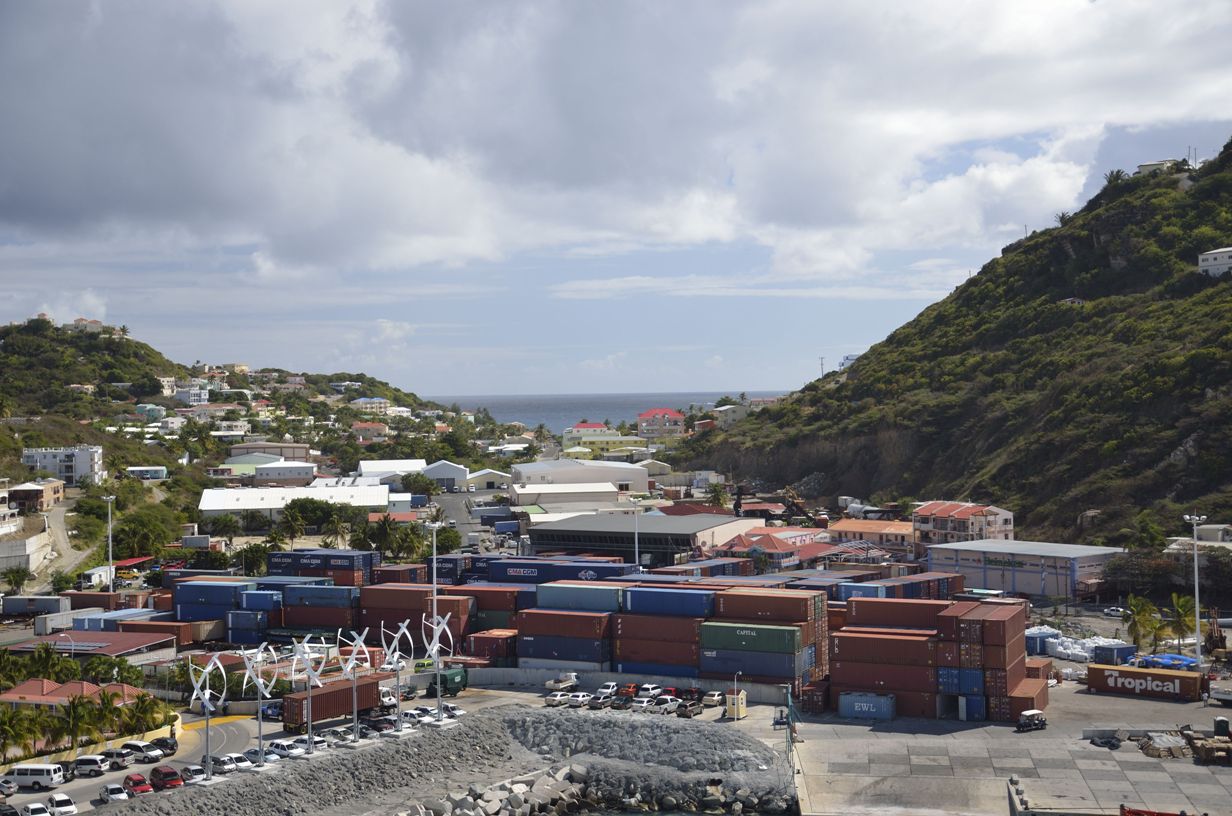
Philipsburg container yard
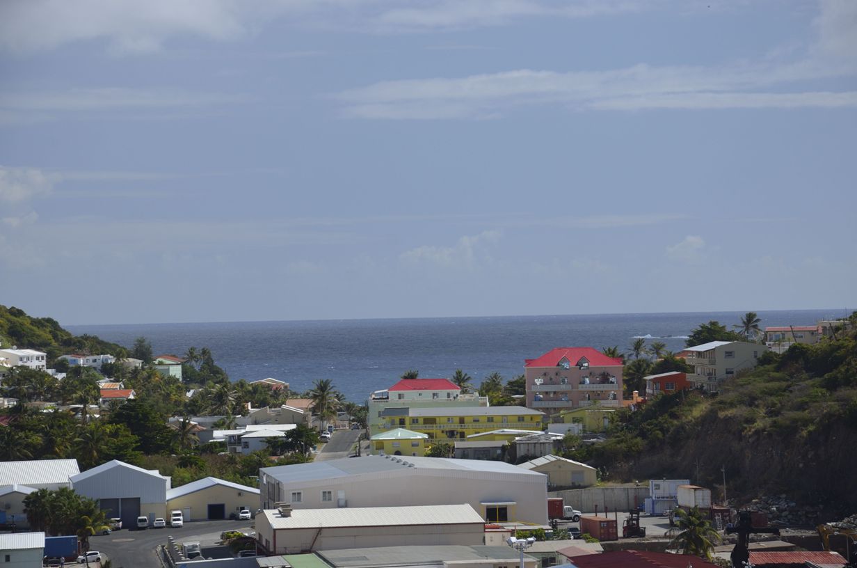
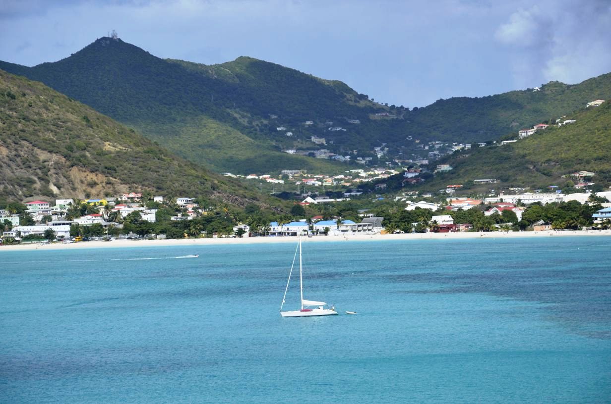
East to Caribbean Sea
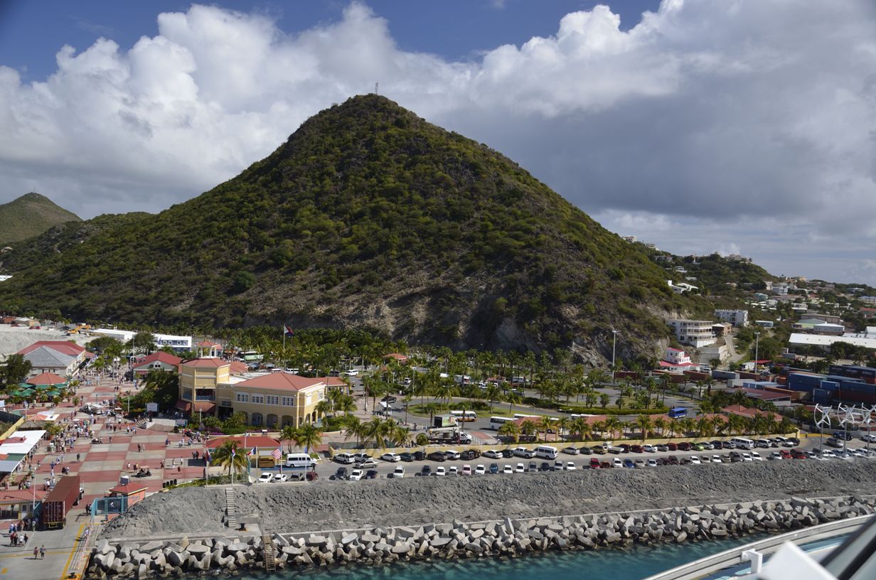
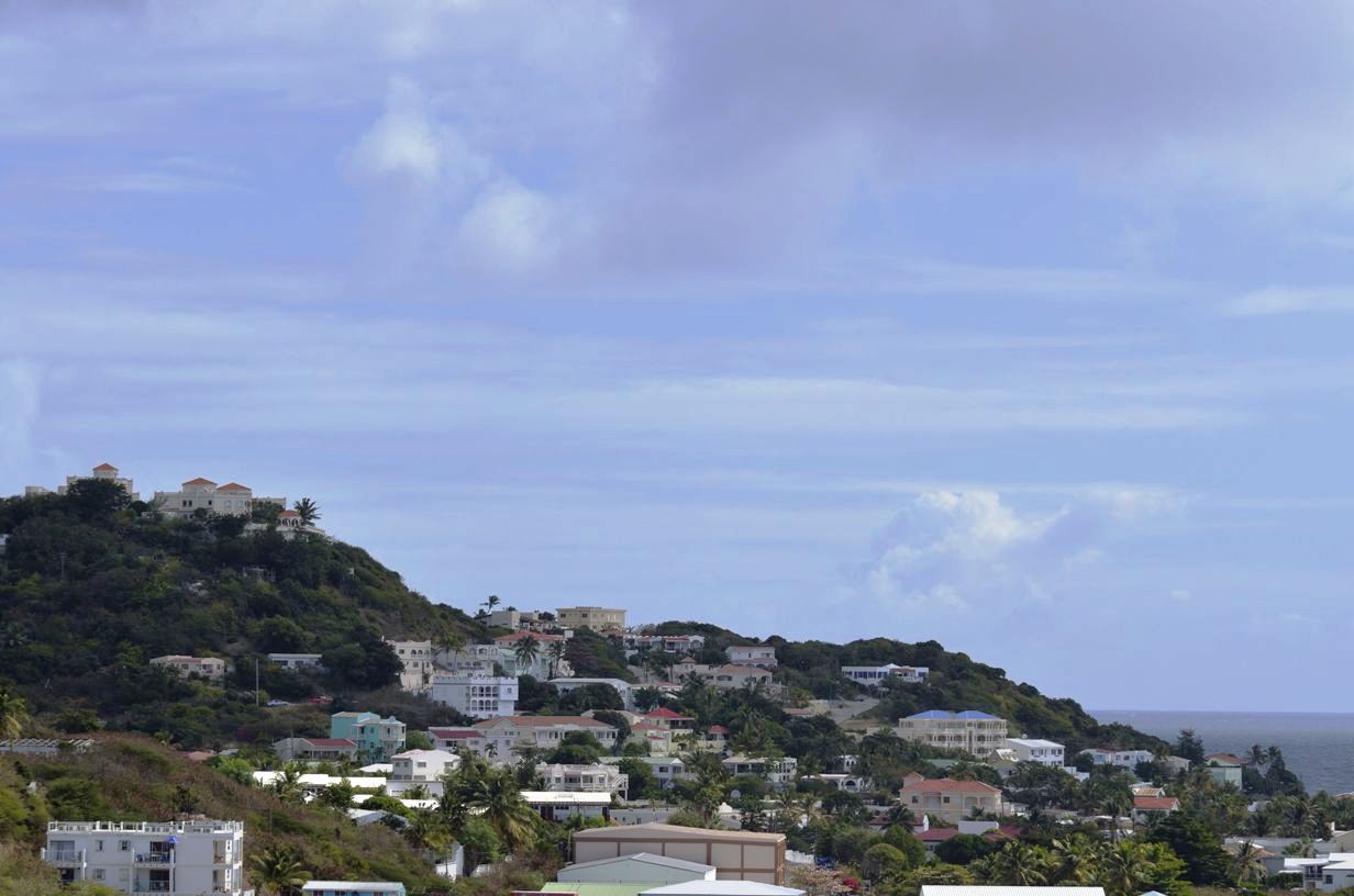
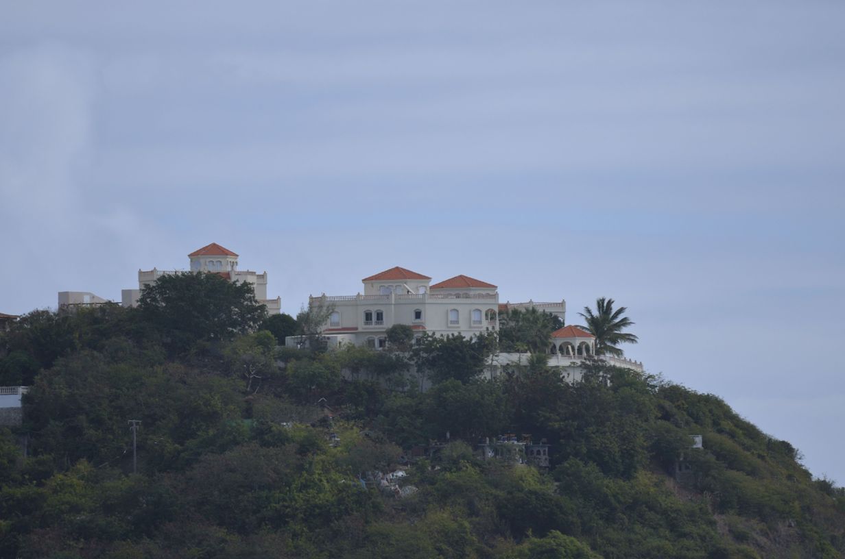
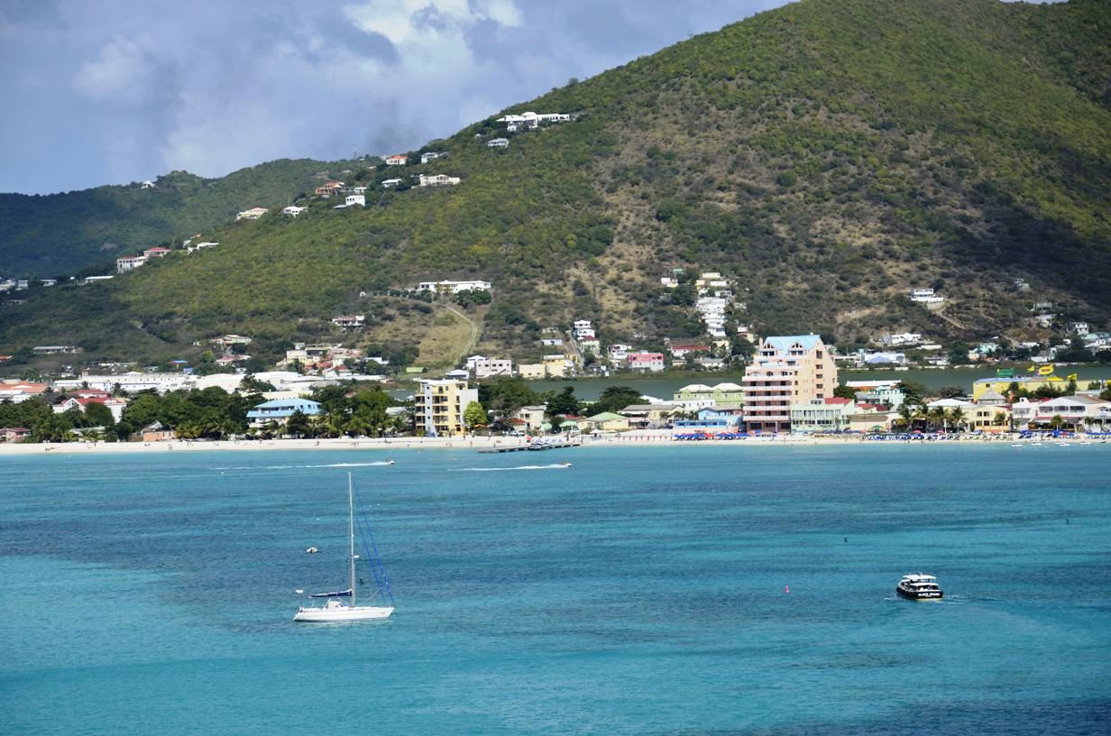
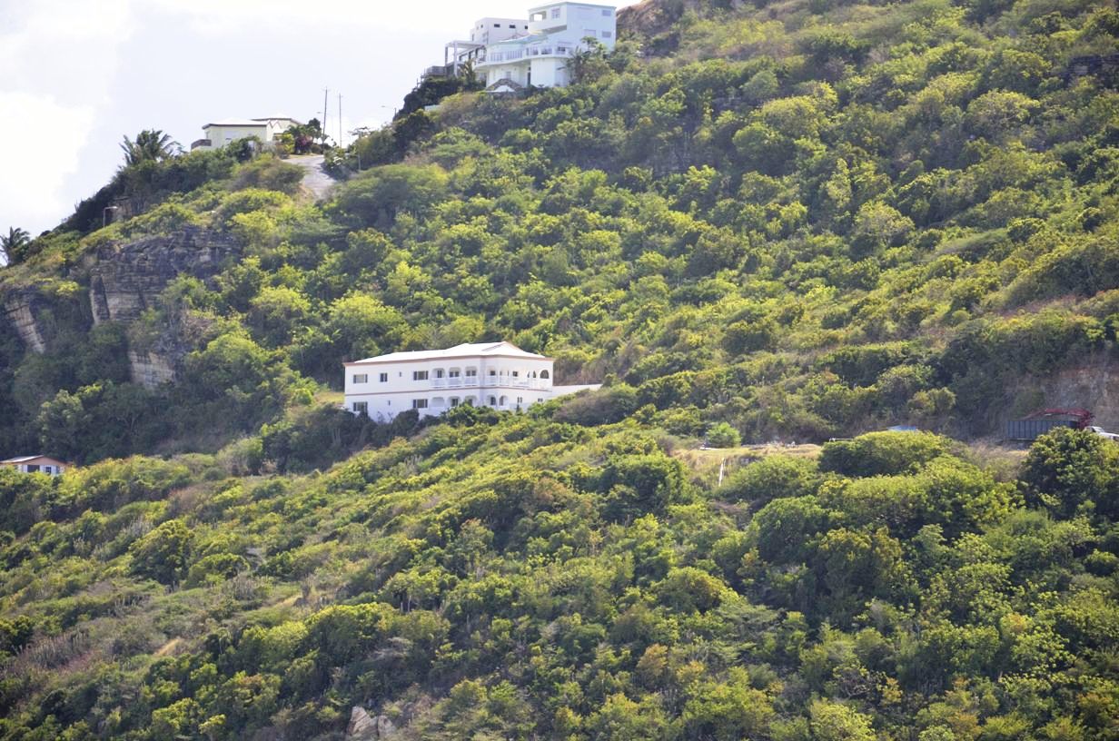
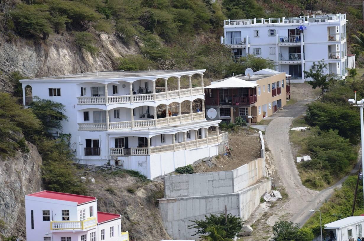
Homes on Monte Vista
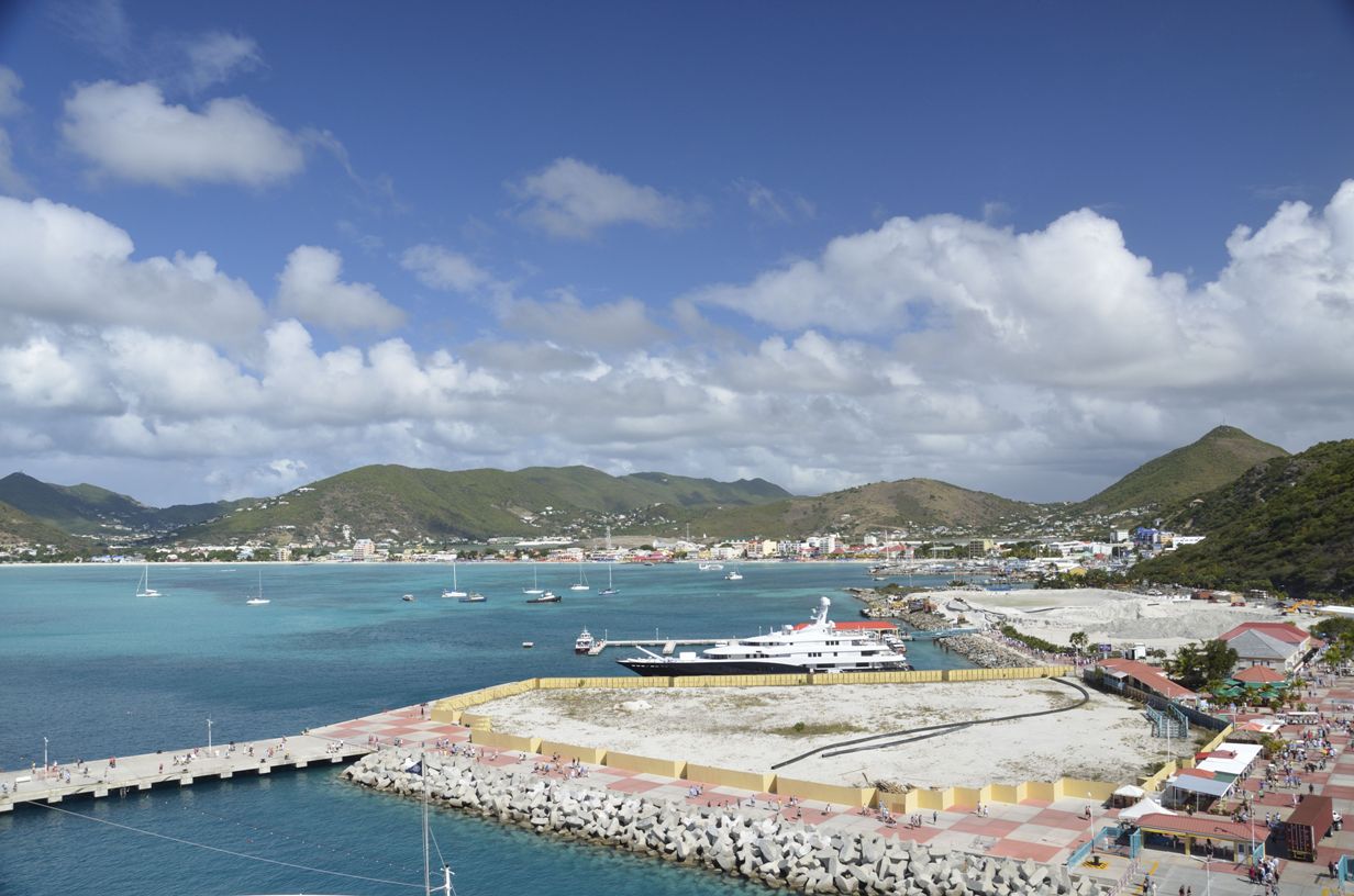
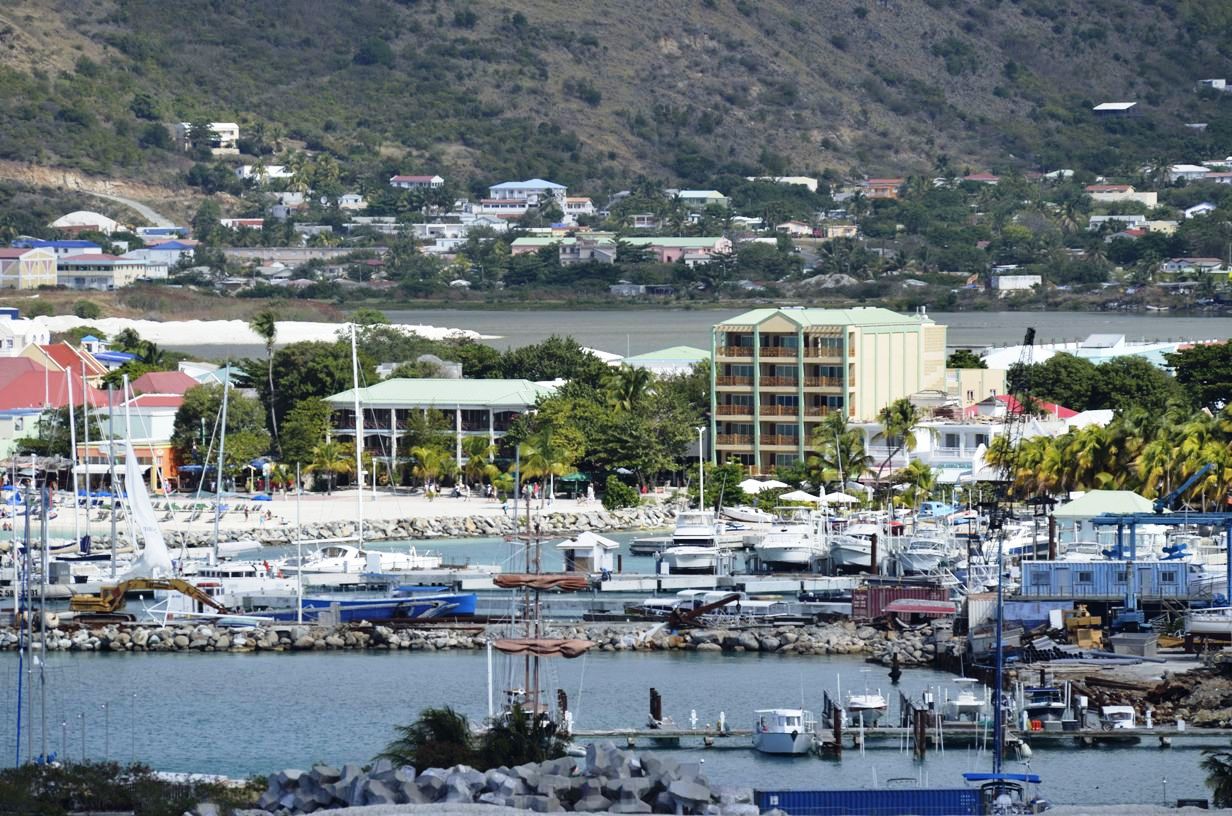
Marina
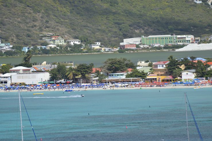
Great Salt Pond beyond beach
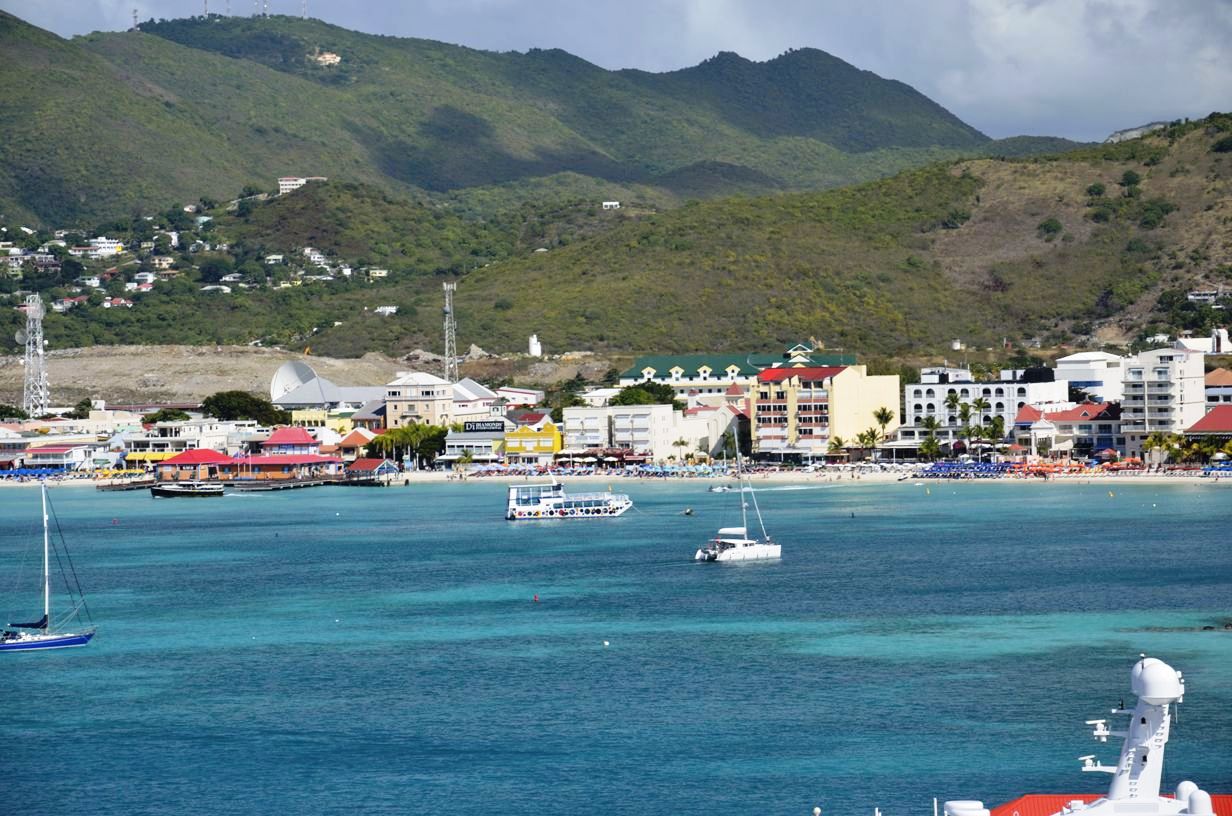
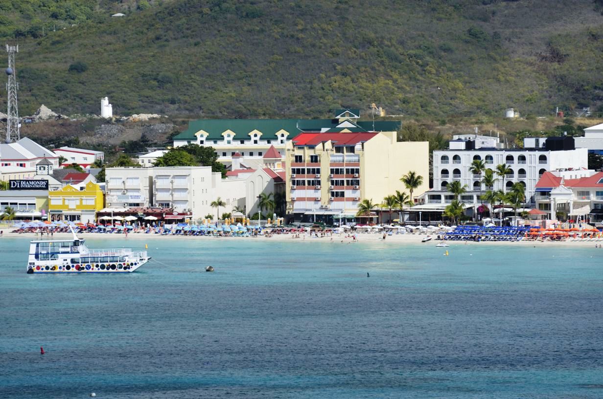
Downtown view from ship
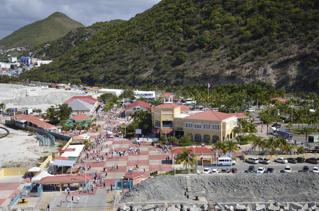
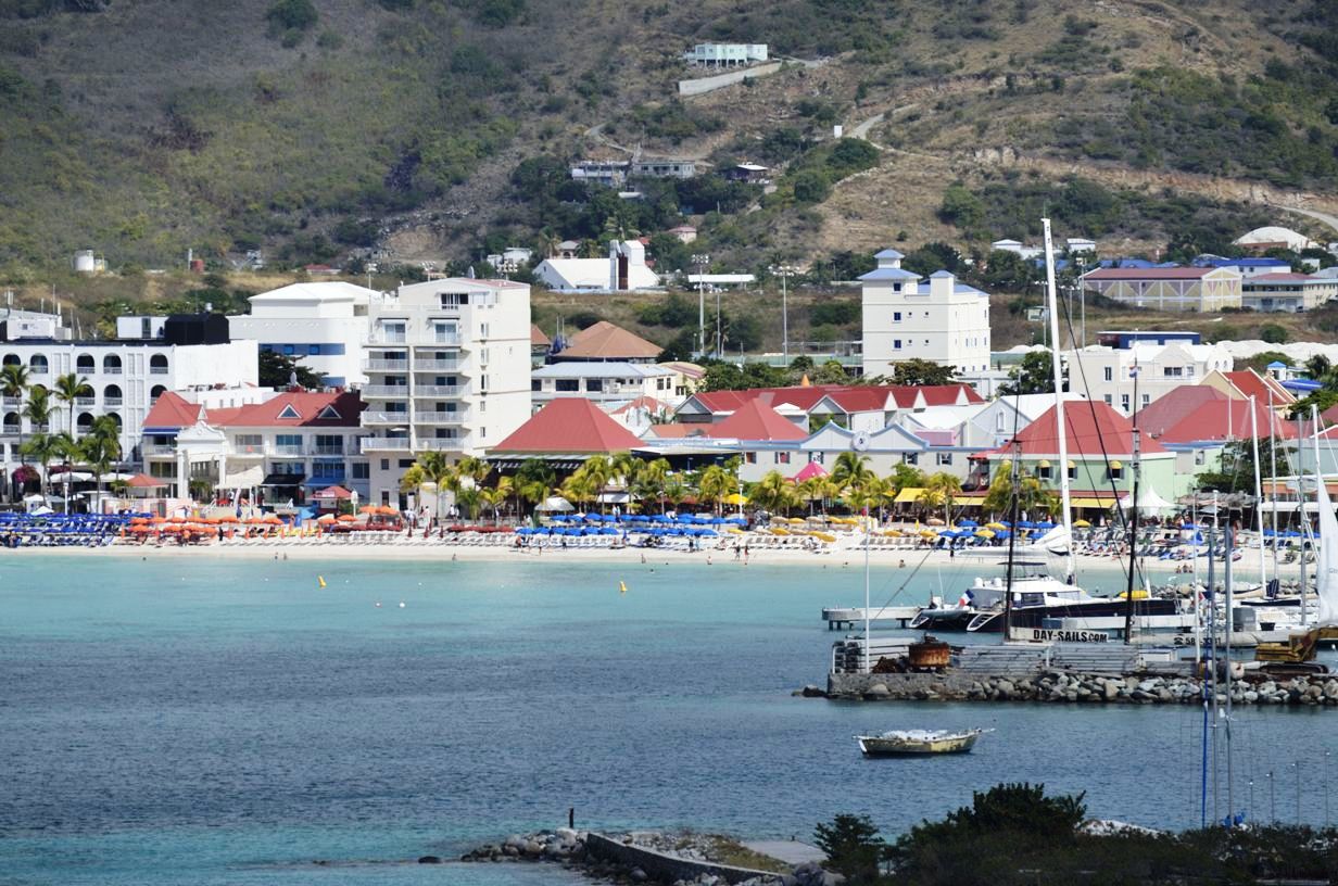
Boardwalk and beach
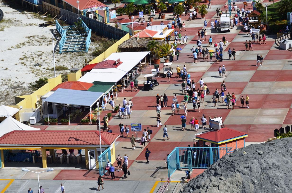
Beach restaurants & shops
St. Maarten
Location: 18° 4' N, 63° 5' W Population: 50,700 Capital: Philipsburg (pop. 13,000) Length/Width: 6.52 mi long, 9.3 mi wide Area: 37 sq. miles (Dutch:16, French 21) Avg Temp: 72°F - 87°F Rainfall: Coast 16 in, Mountain Areas - 60 in. Language: English Money: US Dollar (USD) US Dollars accepted Commerce: Services 76% Manufacturing 15% Agriculture 10% History:When Christopher Columbus explored the islands in 1493, they were inhabited by the Carib people, like many of the other Caribbean islands. Today, most of the inhabitants are the descendants of African slaves.
The British settled on St. maarten in 1623, and on Nevis (the island just 2 miles South) in 1628. In 1627 the French settled on St. maarten resulting in an Anglo-French rivalry that lasted for more than 100 years. After a decisive British victory at Brimstone Hill in 1782 the islands came under permanent British control. They started by cultivating tobacco and cotton, but by the 1640s they had switched to sugar, which was enormously profitable. Slaves from Africa were brought in to work sugar plantations, and eventually the population became about 90% black. A slave revolt took place in 1816 and was eventually abolished in the British Empire in 1834. A drop in world sugar prices hurt the nation's economy through the mid-1980s to the point that the government closed the sugar industry in 2005. Tourism and financial services have since taken over as the leading money makers.
Great Bay
© Copyright 2008 Write Sounds Entertainment, Inc. All Rights Reserved.
