Moving right
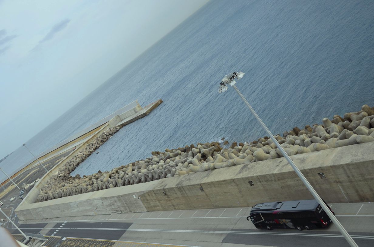
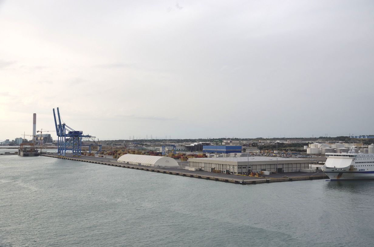
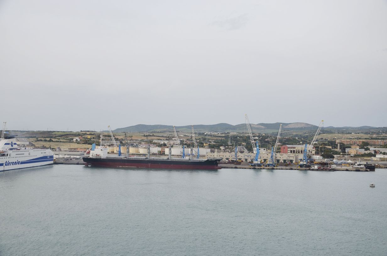
One of 3 Cruise Ports
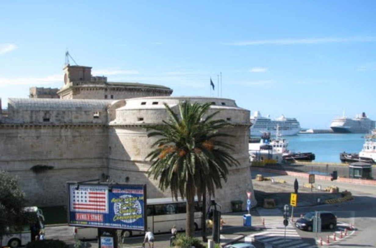
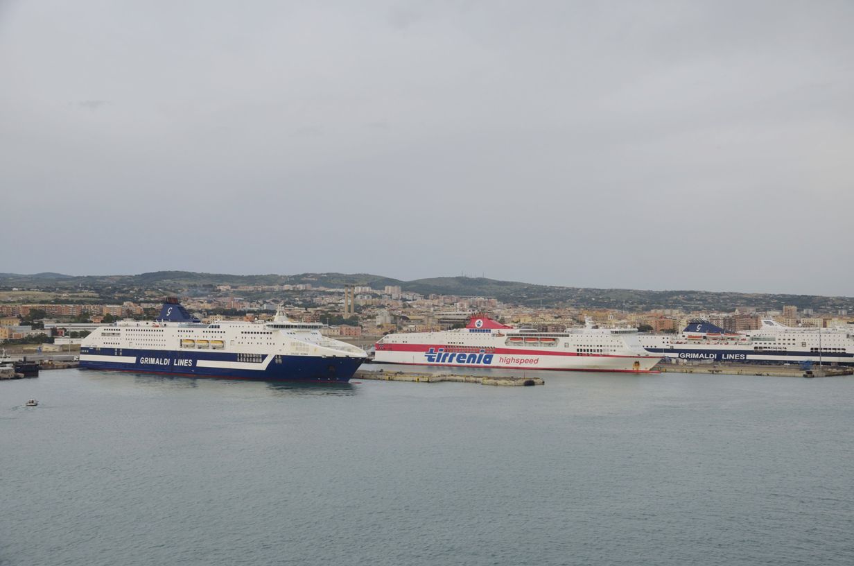
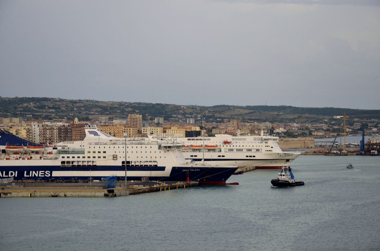
More Ships
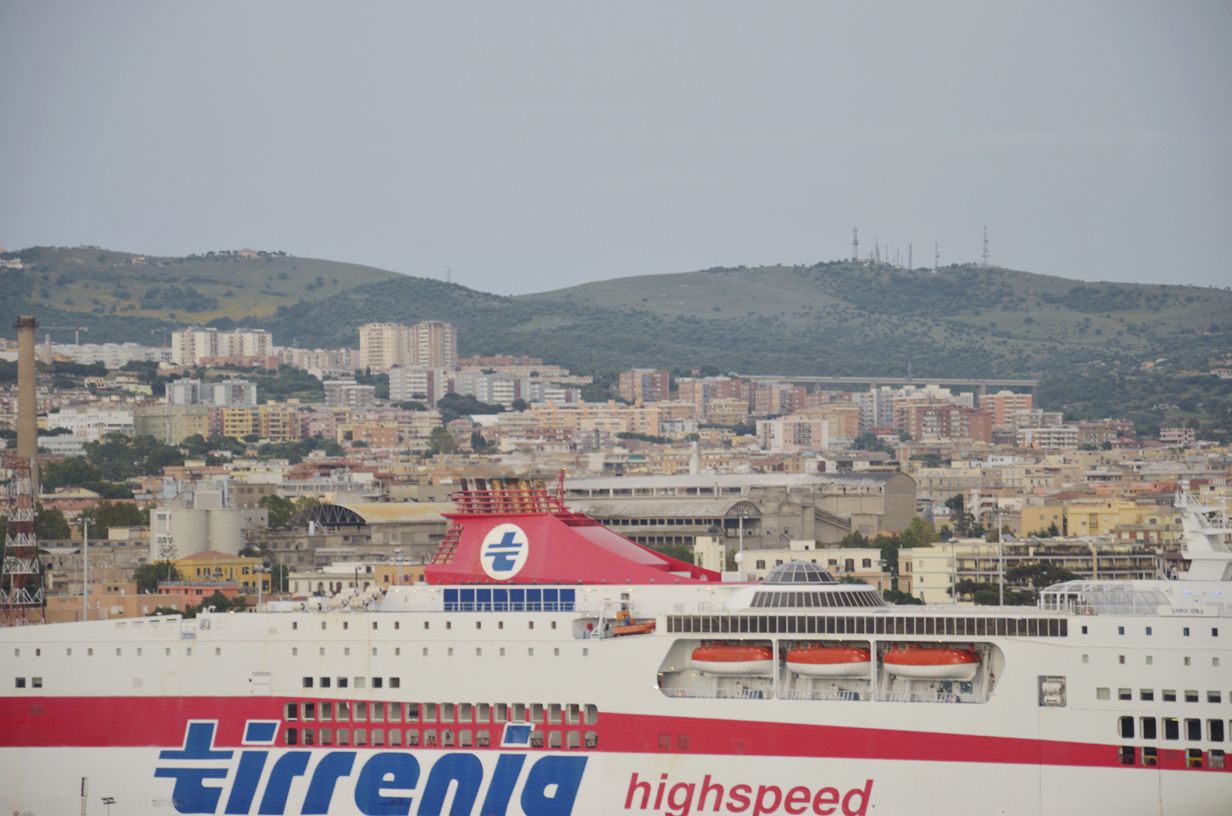
Downtown
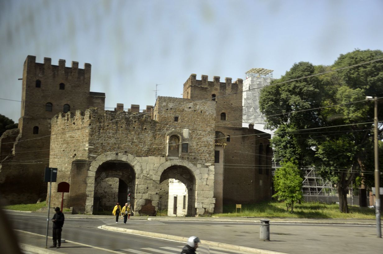
Gateway to City
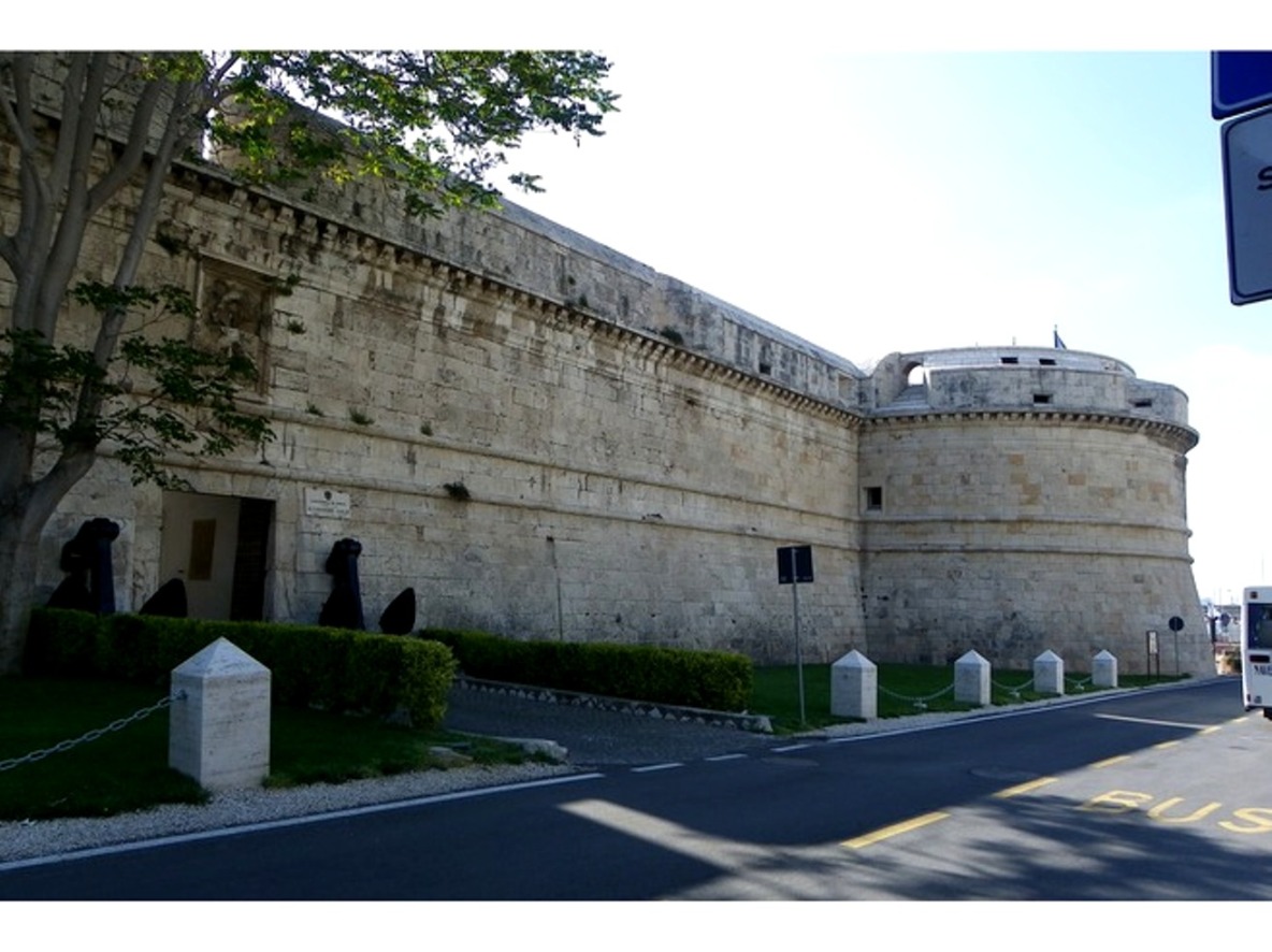
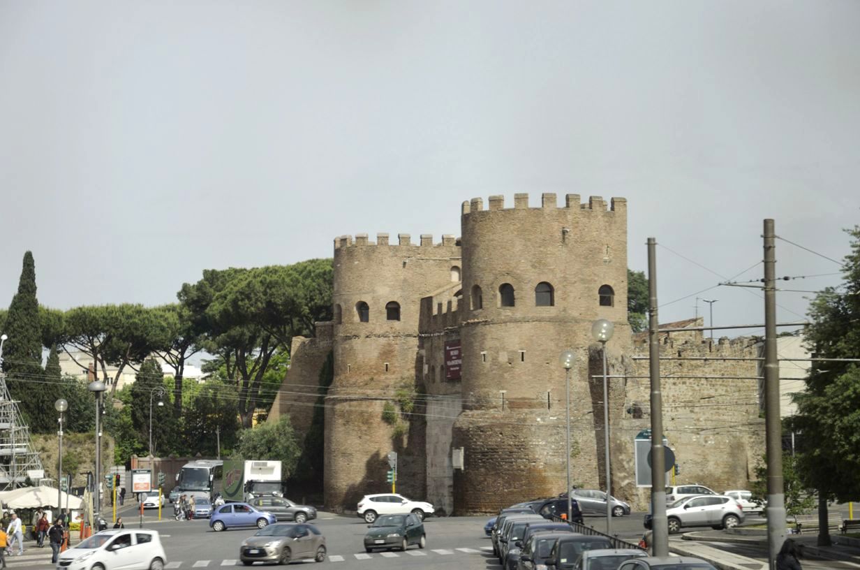
Nice Turrets
St. Francis Assisi
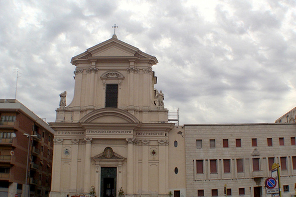
St. Francis Basilca
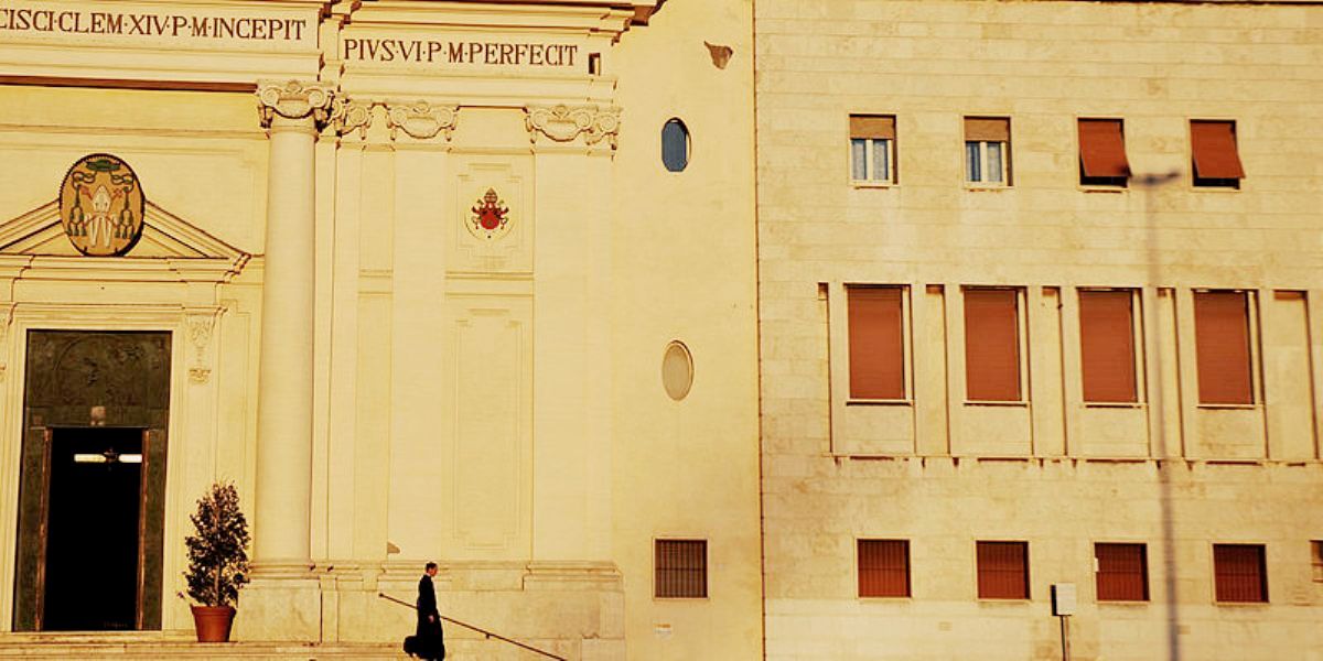
Basilica Entrance
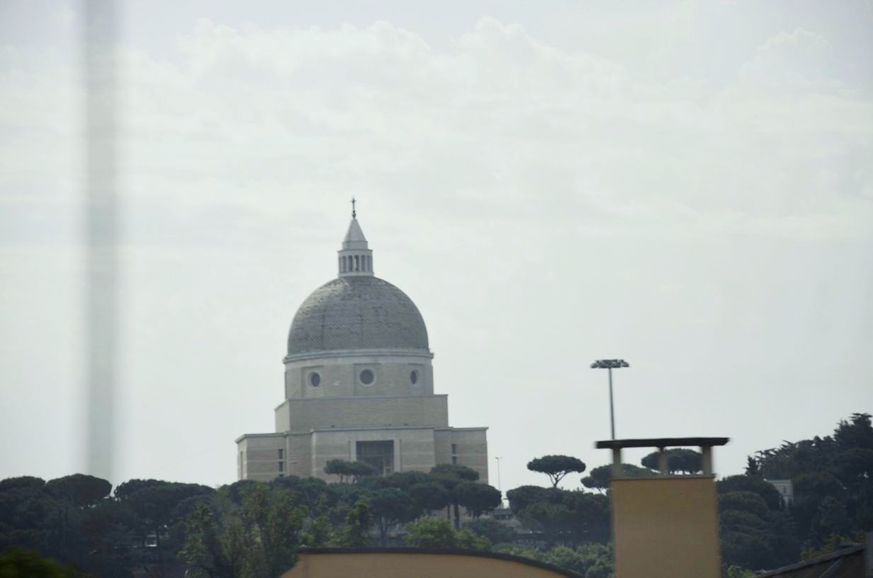
Cathedral of Holy Japanese Saints
Civitavecchia
Province: Rome Region: Lazio Location: 42° 5'38"76 N, 11° 48'28"80 E Population: 52,000 Area: 27.78 sq. miles (71.95 km²) Avg Temp: 61.3 F° (50°F - 78°F) Rainfall: 26.1 in, Commerce: Cargo - 8 million tons/yr Ferry Passengers - 2.2m/yr Cruise Passengers - 1.6m/yr History:Civitavecchia ("ancient town") lies 50 miles (80 km) Northwest of Rome on the Tyrrhenian Sea. Its harbor, which is formed by two piers and a breakwater, was built in the 2nd century by Emperor Trajan. It became the primary entry point to Rome for visitors, and in 1696 Pope Innocent XII established the city as a free port.
The harbor contains 28 berths totalling over 3 miles in length. There are 3 cruise ship terminals. Handling over 2000 ferry and cruise ships per year makes it the 3rd busiest port in the Mediterranean. Port properties include five warehouses with 36 thousand square meters for handling and storing cargo. Forte Michelangelo is the 16th Century fortress overlooking the port. It was commissioned by Pope Julius II and finished in 1535 by Giulano Leno. The central tower was designed by Michelangelo. The fort was built on the remnants of Roman barracks of the Imperial Fleet and its walls are over 6 meters (20 feet) thick. .
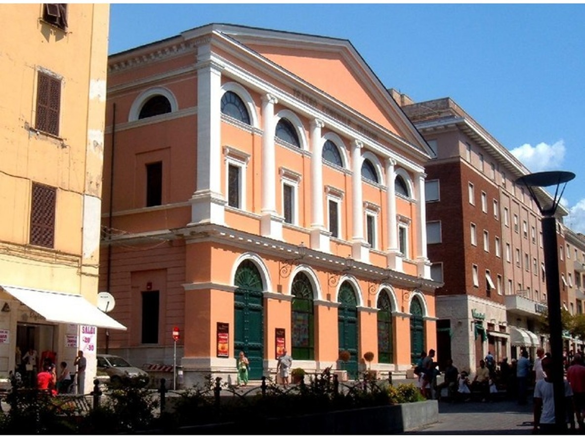
Corso Theater
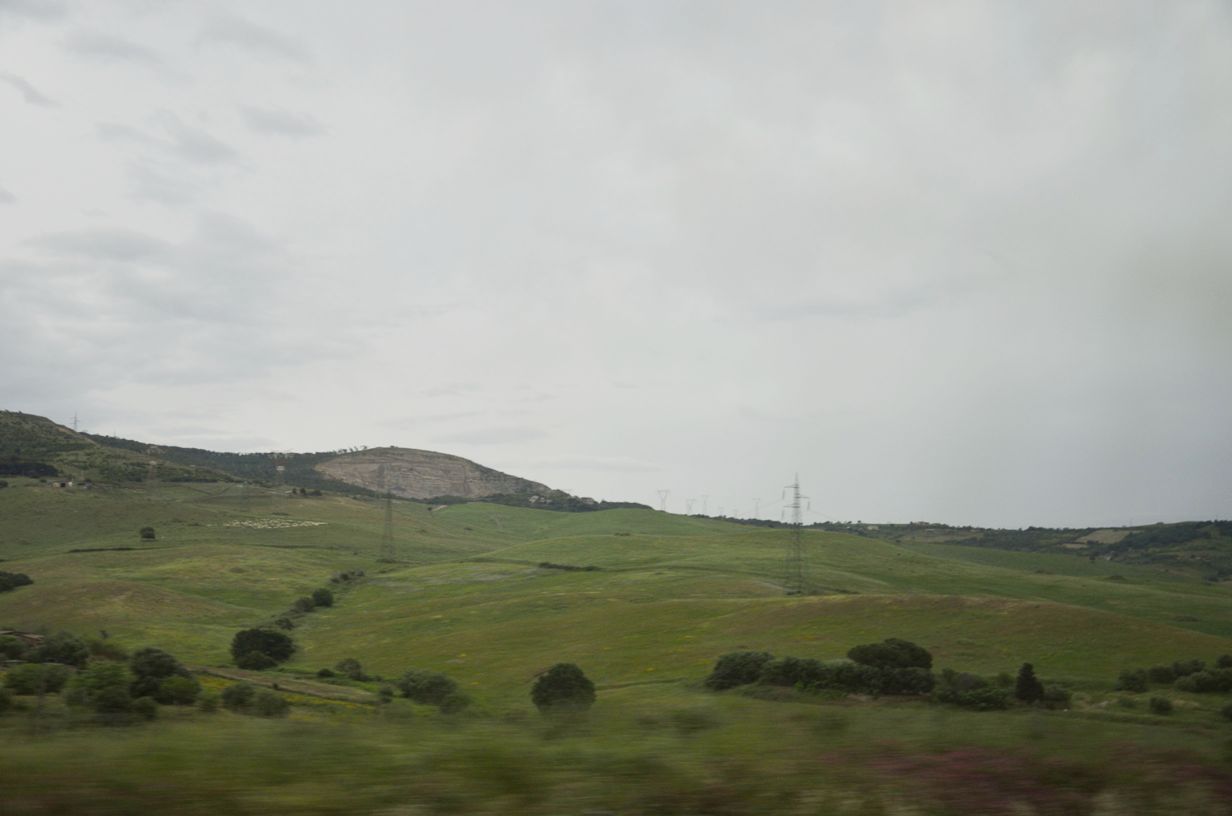
Countryside
© Copyright 2008 Write Sounds Entertainment, Inc. All Rights Reserved.
